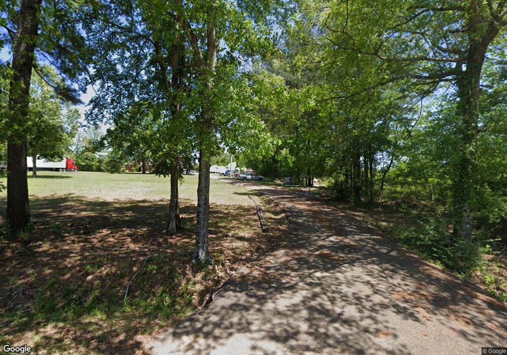
115 Hobson Cir Brandon, MS 39047
Estimated Value: $402,667 - $559,000
Studio
1
Bath
3,166
Sq Ft
$155/Sq Ft
Est. Value
About This Home
This home is located at 115 Hobson Cir, Brandon, MS 39047 and is currently estimated at $489,167, approximately $154 per square foot. 115 Hobson Cir is a home located in Rankin County with nearby schools including Oakdale Elementary School, Northwest Rankin Middle School, and Northwest Rankin High School.
Ownership History
Date
Name
Owned For
Owner Type
Purchase Details
Closed on
Feb 28, 2022
Sold by
Mellomeade Development Llc
Bought by
Haynes Joanne A
Current Estimated Value
Home Financials for this Owner
Home Financials are based on the most recent Mortgage that was taken out on this home.
Original Mortgage
$100,236
Outstanding Balance
$31,540
Interest Rate
2.77%
Mortgage Type
New Conventional
Estimated Equity
$457,627
Create a Home Valuation Report for This Property
The Home Valuation Report is an in-depth analysis detailing your home's value as well as a comparison with similar homes in the area
Purchase History
| Date | Buyer | Sale Price | Title Company |
|---|---|---|---|
| Haynes Joanne A | -- | None Listed On Document | |
| Haynes Joanne A | -- | None Listed On Document |
Source: Public Records
Mortgage History
| Date | Status | Borrower | Loan Amount |
|---|---|---|---|
| Open | Haynes Joanne A | $100,236 | |
| Closed | Haynes Joanne A | $100,236 |
Source: Public Records
Tax History
| Year | Tax Paid | Tax Assessment Tax Assessment Total Assessment is a certain percentage of the fair market value that is determined by local assessors to be the total taxable value of land and additions on the property. | Land | Improvement |
|---|---|---|---|---|
| 2024 | $1,976 | $22,601 | $0 | $0 |
| 2023 | $1,802 | $21,295 | $0 | $0 |
| 2022 | $1,770 | $21,295 | $0 | $0 |
| 2021 | $1,746 | $21,045 | $0 | $0 |
| 2020 | $1,746 | $21,045 | $0 | $0 |
| 2019 | $1,545 | $18,456 | $0 | $0 |
| 2018 | $1,508 | $18,456 | $0 | $0 |
| 2017 | $1,508 | $18,456 | $0 | $0 |
| 2016 | $1,415 | $18,448 | $0 | $0 |
| 2015 | $1,415 | $18,448 | $0 | $0 |
| 2014 | $1,376 | $18,448 | $0 | $0 |
| 2013 | -- | $18,448 | $0 | $0 |
Source: Public Records
Map
Nearby Homes
- 110 Meadowview Dr
- 758 Cotton Creek Trail
- 2050 Paradise Ridge
- 840 Westerly Dr
- 739 Westerly Dr
- 23 Le Bourgeois Dr
- 59 Napoleon Cir
- 0 Dogwood Trace Unit 4108863
- 0 Ridgeside Dr Unit 4102137
- 115 Ashley Dr
- 0 Ivy Ln
- 1203 Old Court Crossing
- 1125 Old Court Crossing
- 0 Danielle Cove Unit 24270205
- 0 Danielle Cove Unit 4118567
- 917 Brunswick Ct
- 705 Queens Ct
- 913 Brunswick Ct
- 1074 Ridgeside Dr
- 116 Shenandoah Estates Cir
- 120 Hobson Cir
- 590 Baker Ln
- 600 Baker Ln
- 102 Hobson Cir
- 571 Baker Ln
- 131 Oak Grove Ln
- 564 Baker Ln
- 569 Baker Ln
- 109 Crestview Dr
- 567 Baker Ln
- 119 Oak Grove Ln
- 563 Baker Ln
- 0 Wild Rose Ln Unit 6 208098
- 0 Wild Rose Ln Unit 11 & 12 1221853
- 0 Wild Rose Ln Unit 6 1208098
- 0 Wild Rose Ln Unit 11 & 12 221853
- 556 Baker Ln
- 101 Plumtree Trail
- 640 Baker Ln
- 107 Crestview Dr
Your Personal Tour Guide
Ask me questions while you tour the home.
