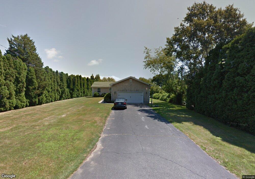
115 Kane Ave Middletown, RI 02842
Estimated Value: $1,688,000 - $1,998,000
5
Beds
3
Baths
2,704
Sq Ft
$667/Sq Ft
Est. Value
About This Home
This home is located at 115 Kane Ave, Middletown, RI 02842 and is currently estimated at $1,802,427, approximately $666 per square foot. 115 Kane Ave is a home located in Newport County with nearby schools including Middletown High School, St Michael's Country Day School, and St George's School.
Ownership History
Date
Name
Owned For
Owner Type
Purchase Details
Closed on
Sep 24, 2004
Sold by
Hourihan Ronald and Hourihan Suzanne
Bought by
Glashow Andrew
Current Estimated Value
Purchase Details
Closed on
Aug 31, 2001
Sold by
Walsh Noemi L
Bought by
Hourihan Ronald J
Create a Home Valuation Report for This Property
The Home Valuation Report is an in-depth analysis detailing your home's value as well as a comparison with similar homes in the area
Home Values in the Area
Average Home Value in this Area
Purchase History
| Date | Buyer | Sale Price | Title Company |
|---|---|---|---|
| Glashow Andrew | $637,500 | -- | |
| Hourihan Ronald J | $485,000 | -- |
Source: Public Records
Mortgage History
| Date | Status | Borrower | Loan Amount |
|---|---|---|---|
| Open | Hourihan Ronald J | $100,000 | |
| Open | Hourihan Ronald J | $600,000 | |
| Closed | Hourihan Ronald J | $115,000 |
Source: Public Records
Tax History Compared to Growth
Tax History
| Year | Tax Paid | Tax Assessment Tax Assessment Total Assessment is a certain percentage of the fair market value that is determined by local assessors to be the total taxable value of land and additions on the property. | Land | Improvement |
|---|---|---|---|---|
| 2025 | $16,092 | $1,364,900 | $986,500 | $378,400 |
| 2024 | $15,369 | $1,364,900 | $986,500 | $378,400 |
| 2023 | $10,775 | $855,800 | $580,700 | $275,100 |
| 2022 | $10,287 | $855,800 | $580,700 | $275,100 |
| 2021 | $10,287 | $855,800 | $580,700 | $275,100 |
| 2020 | $10,367 | $753,400 | $485,400 | $268,000 |
| 2018 | $10,359 | $753,400 | $485,400 | $268,000 |
| 2016 | $8,680 | $562,900 | $350,700 | $212,200 |
| 2015 | $8,466 | $562,900 | $350,700 | $212,200 |
| 2014 | $8,922 | $555,200 | $335,500 | $219,700 |
| 2013 | $8,722 | $555,200 | $335,500 | $219,700 |
Source: Public Records
Map
Nearby Homes
- 4 James St
- 140 Tuckerman Ave
- 84 Allston Ave
- 162 Center Ave
- 118 Wolcott Ave
- 65 Seascape Ave
- 202 Reservoir Rd
- 0 Wolcott Ave
- 141 Gray Craig Rd
- 129 Bliss Mine Rd
- 78 Ellery Rd
- 55 John Clarke Rd Unit 8
- 55 John Clarke Rd Unit 3
- 128 Eustis Ave
- 16 Sachuest Dr
- 36 Kay Blvd
- 10 Ocean Lawn Ln
- 0 Saltwood Dr
- 55 Hunter Ave
- 103 Champlin Place N