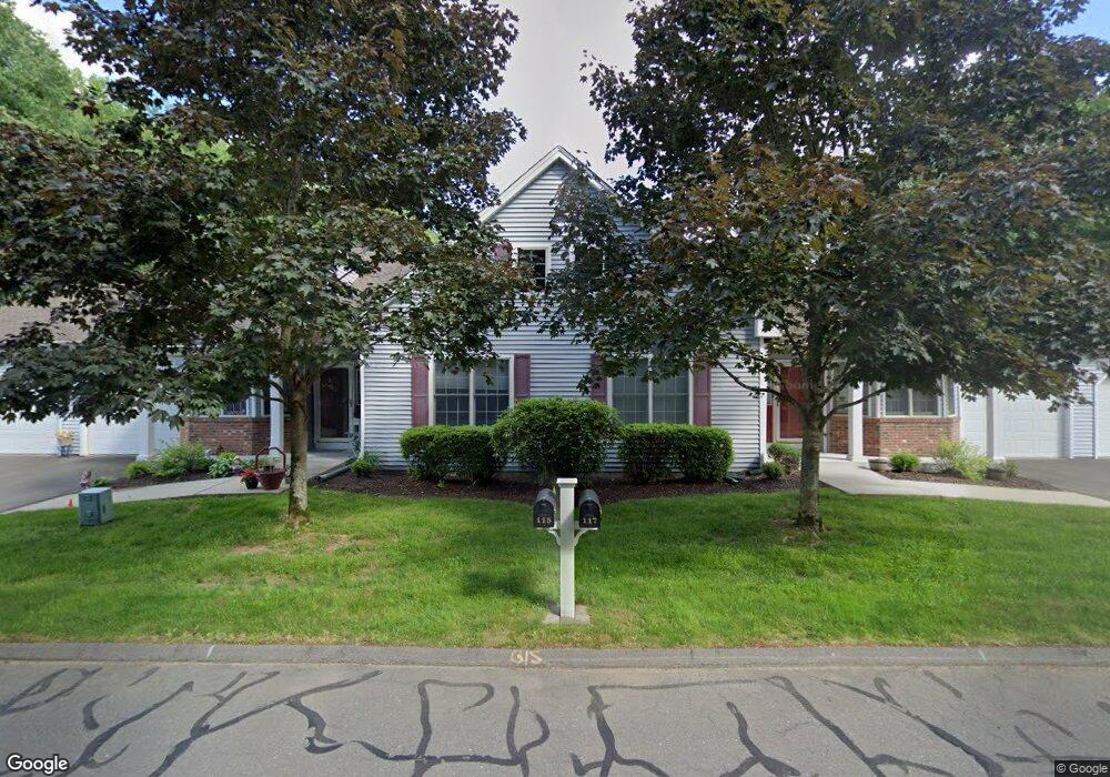
115 Kings Way Windsor, CT 06095
West Windsor NeighborhoodEstimated Value: $294,000 - $396,000
2
Beds
2
Baths
1,407
Sq Ft
$253/Sq Ft
Est. Value
About This Home
This home is located at 115 Kings Way, Windsor, CT 06095 and is currently estimated at $355,997, approximately $253 per square foot. 115 Kings Way is a home located in Hartford County with nearby schools including Poquonock Elementary School, Clover Street School, and Sage Park Middle School.
Ownership History
Date
Name
Owned For
Owner Type
Purchase Details
Closed on
Sep 16, 2013
Sold by
Longworth Sandra M
Bought by
Rodriguez Gabriel A and Rodriguez Josefina C
Current Estimated Value
Purchase Details
Closed on
May 15, 2003
Sold by
Kings Lndg Llc
Bought by
Longworth Gerald and Longworth Sandra
Home Financials for this Owner
Home Financials are based on the most recent Mortgage that was taken out on this home.
Original Mortgage
$60,000
Interest Rate
5.13%
Mortgage Type
Purchase Money Mortgage
Create a Home Valuation Report for This Property
The Home Valuation Report is an in-depth analysis detailing your home's value as well as a comparison with similar homes in the area
Home Values in the Area
Average Home Value in this Area
Purchase History
| Date | Buyer | Sale Price | Title Company |
|---|---|---|---|
| Rodriguez Gabriel A | $235,000 | -- | |
| Longworth Gerald | $224,948 | -- |
Source: Public Records
Mortgage History
| Date | Status | Borrower | Loan Amount |
|---|---|---|---|
| Previous Owner | Longworth Gerald | $28,000 | |
| Previous Owner | Longworth Gerald | $60,000 |
Source: Public Records
Tax History Compared to Growth
Tax History
| Year | Tax Paid | Tax Assessment Tax Assessment Total Assessment is a certain percentage of the fair market value that is determined by local assessors to be the total taxable value of land and additions on the property. | Land | Improvement |
|---|---|---|---|---|
| 2025 | $6,450 | $226,730 | $0 | $226,730 |
| 2024 | $6,874 | $226,730 | $0 | $226,730 |
| 2023 | $5,304 | $157,850 | $0 | $157,850 |
| 2022 | $5,252 | $157,850 | $0 | $157,850 |
| 2021 | $5,252 | $157,850 | $0 | $157,850 |
| 2020 | $5,226 | $157,850 | $0 | $157,850 |
| 2019 | $5,111 | $157,850 | $0 | $157,850 |
| 2018 | $5,069 | $153,790 | $0 | $153,790 |
| 2017 | $4,990 | $153,790 | $0 | $153,790 |
| 2016 | $4,847 | $153,790 | $0 | $153,790 |
| 2015 | $4,755 | $153,790 | $0 | $153,790 |
| 2014 | $4,686 | $153,790 | $0 | $153,790 |
Source: Public Records
Map
Nearby Homes
- 12 London Rd
- 580 W Wolcott Ave
- 17 Mills Rd
- 5 Eagleton Dr
- 89 E Wolcott Ave
- 2 Sandra Dr
- 26 Kelsey Place
- 15 Kelsey Place
- 39 Wade Ave
- 18 Englewood Ave
- 32 Sunnyfield Dr
- 932 Worthy St
- 280 Deerfield Rd
- 28 Sunnyfield Dr
- 3 Saville St
- 13 Patton Rd
- 29 Quail Hollow Dr
- 67 Elizabeth Ave
- 31 Farmstead Cir
- 18 Walsh St
- 115 Kings Way Unit 115
- 117 Kings Way
- 243 Kings Landing
- 241 Kings Landing
- 255 Kings Landing
- 255 Kings Landing Unit 255
- 239 Kings Landing
- 265 Kings Landing
- 244 Kings Landing
- 242 Kings Landing
- 242 Kings Landing Unit 242
- 257 Kings Landing
- 256 Kings Landing
- 256 Kings Landing Unit 256
- 235 Kings Landing
- 235 Kings Landing Unit 235
- 237 Kings Landing
- 233 Kings Landing
- 237 Kings Landing Unit 237
- 233 Kings Landing Unit 233