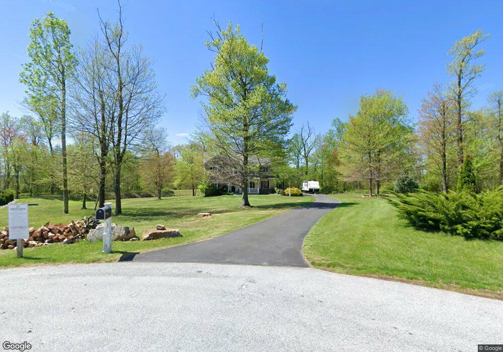
115 Lindsays Way Honey Brook, PA 19344
Estimated Value: $613,000 - $638,000
4
Beds
4
Baths
2,250
Sq Ft
$276/Sq Ft
Est. Value
About This Home
This home is located at 115 Lindsays Way, Honey Brook, PA 19344 and is currently estimated at $620,176, approximately $275 per square foot. 115 Lindsays Way is a home located in Chester County with nearby schools including Kings Highway Elementary School, Coatesville Intermediate High School, and Coatesville Area Senior High School.
Ownership History
Date
Name
Owned For
Owner Type
Purchase Details
Closed on
Apr 1, 2011
Sold by
T H Walsh Land Development Co
Bought by
Mccarron Patricia M and Mccarron Hw
Current Estimated Value
Home Financials for this Owner
Home Financials are based on the most recent Mortgage that was taken out on this home.
Original Mortgage
$200,000
Interest Rate
5.04%
Mortgage Type
New Conventional
Create a Home Valuation Report for This Property
The Home Valuation Report is an in-depth analysis detailing your home's value as well as a comparison with similar homes in the area
Home Values in the Area
Average Home Value in this Area
Purchase History
| Date | Buyer | Sale Price | Title Company |
|---|---|---|---|
| Mccarron Patricia M | $309,900 | None Available |
Source: Public Records
Mortgage History
| Date | Status | Borrower | Loan Amount |
|---|---|---|---|
| Previous Owner | Mccarron Patricia M | $200,000 |
Source: Public Records
Tax History Compared to Growth
Tax History
| Year | Tax Paid | Tax Assessment Tax Assessment Total Assessment is a certain percentage of the fair market value that is determined by local assessors to be the total taxable value of land and additions on the property. | Land | Improvement |
|---|---|---|---|---|
| 2025 | $8,084 | $163,740 | $43,650 | $120,090 |
| 2024 | $8,084 | $163,740 | $43,650 | $120,090 |
| 2023 | $7,781 | $163,740 | $43,650 | $120,090 |
| 2022 | $7,408 | $163,740 | $43,650 | $120,090 |
| 2021 | $7,287 | $163,740 | $43,650 | $120,090 |
| 2020 | $7,134 | $163,740 | $43,650 | $120,090 |
| 2019 | $6,897 | $163,740 | $43,650 | $120,090 |
| 2018 | $6,596 | $163,740 | $43,650 | $120,090 |
| 2017 | $6,358 | $163,740 | $43,650 | $120,090 |
| 2016 | $6,457 | $163,740 | $43,650 | $120,090 |
| 2015 | $6,457 | $163,740 | $43,650 | $120,090 |
| 2014 | $6,457 | $163,740 | $43,650 | $120,090 |
Source: Public Records
Map
Nearby Homes
- 14 Blue Spruce Dr
- 211 Michael Rd
- 114 Jacobs Dr
- 339 Churchtown Rd
- 158 Leary Rd
- 116 Cornwall Place
- 650 Broad St
- 105 Cambridge Rd
- 151 S Sandy Hill Rd
- 607 Buchland Rd
- 146 Ash Rd
- 407 Cahill Cir Unit 4
- 332 Beacon Light Rd
- 221 Creamery Rd
- 110 Petrelia Dr
- 490 Red Hill Rd
- 5892 Meadville Rd
- 241 Dove Dr
- 317 Compass Rd
- 0 Westbrook Dr