115 Maple Brook Rd Bellingham, MA 02019
Estimated Value: $403,099 - $440,000
2
Beds
3
Baths
1,575
Sq Ft
$265/Sq Ft
Est. Value
About This Home
This home is located at 115 Maple Brook Rd, Bellingham, MA 02019 and is currently estimated at $416,775, approximately $264 per square foot. 115 Maple Brook Rd is a home located in Norfolk County with nearby schools including Stall Brook Elementary School, Bellingham High School, and Mendon Mennonite School.
Ownership History
Date
Name
Owned For
Owner Type
Purchase Details
Closed on
Jun 20, 2018
Sold by
Canning James E
Bought by
Canning James E and Canning Brenda L
Current Estimated Value
Purchase Details
Closed on
Apr 29, 1994
Sold by
Salter William B and Salter Ingrid B
Bought by
Canning James E
Home Financials for this Owner
Home Financials are based on the most recent Mortgage that was taken out on this home.
Original Mortgage
$82,100
Interest Rate
7.7%
Mortgage Type
Purchase Money Mortgage
Create a Home Valuation Report for This Property
The Home Valuation Report is an in-depth analysis detailing your home's value as well as a comparison with similar homes in the area
Home Values in the Area
Average Home Value in this Area
Purchase History
| Date | Buyer | Sale Price | Title Company |
|---|---|---|---|
| Canning James E | -- | -- | |
| Canning James E | $91,250 | -- |
Source: Public Records
Mortgage History
| Date | Status | Borrower | Loan Amount |
|---|---|---|---|
| Previous Owner | Canning James E | $82,100 | |
| Previous Owner | Canning James E | $102,000 |
Source: Public Records
Tax History Compared to Growth
Tax History
| Year | Tax Paid | Tax Assessment Tax Assessment Total Assessment is a certain percentage of the fair market value that is determined by local assessors to be the total taxable value of land and additions on the property. | Land | Improvement |
|---|---|---|---|---|
| 2025 | $3,944 | $314,000 | $0 | $314,000 |
| 2024 | $3,929 | $305,500 | $0 | $305,500 |
| 2023 | $3,632 | $278,300 | $0 | $278,300 |
| 2022 | $3,497 | $248,400 | $0 | $248,400 |
| 2021 | $3,473 | $241,000 | $0 | $241,000 |
| 2020 | $3,208 | $225,600 | $0 | $225,600 |
| 2019 | $3,032 | $213,400 | $0 | $213,400 |
| 2018 | $2,981 | $206,900 | $0 | $206,900 |
| 2017 | $2,885 | $201,200 | $0 | $201,200 |
| 2016 | $2,662 | $186,300 | $0 | $186,300 |
| 2015 | $2,655 | $186,300 | $0 | $186,300 |
| 2014 | $2,705 | $184,500 | $0 | $184,500 |
Source: Public Records
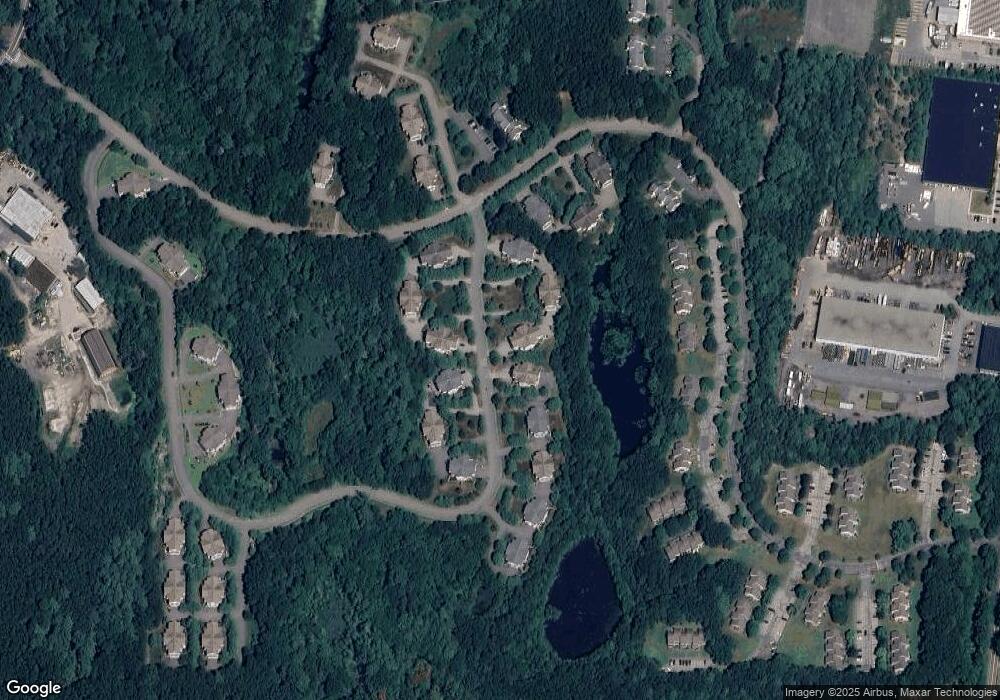
Map
Nearby Homes
- 1303 Old Bridge Ln Unit 1303
- 1501 Old Bridge Ln Unit 1501
- 501 Old Bridge Ln Unit 501
- 7 Debra Ln
- 89 Lakeview Ave
- 125 Blackstone St
- 11 Silver Ave
- 1099 S Main St
- 19 Geordan Ave
- 1136 S Main St
- 0 Prospect St
- 46 Douglas Dr
- 151 Stone Ridge Rd
- 60 Stone Ridge Rd
- 33 Stone Ridge Rd Unit 33
- 975 S Main St
- 109 Stone Ridge Rd Unit 109
- 1 Clover Dr
- 16 Danforth Way
- 8 Bubbling Brook Rd
- 113 Maple Brook Rd
- 113 Maple Brook Rd Unit 113
- 111 Maple Brook Rd
- 109 Maple Brook Rd
- 107 Maple Brook Rd
- 105 Maple Brook Rd
- 103 Maple Brook Rd
- 101 Maple Brook Rd
- 103 Maple Brook Rd Unit 103
- 101 Maple Brook Rd Unit 101
- 112 Maple Brook Rd
- 110 Maple Brook Rd
- 108 Maple Brook Rd
- 104 Maple Brook Rd
- 102 Maple Brook Rd
- 112 Maple Brook Rd Unit 112
- 108 Maple Brook Rd Unit 108
- 112 Maple Brook Rd
- 104 Maple Brook Rd Unit 104,3
- 106 Maple Brook Rd