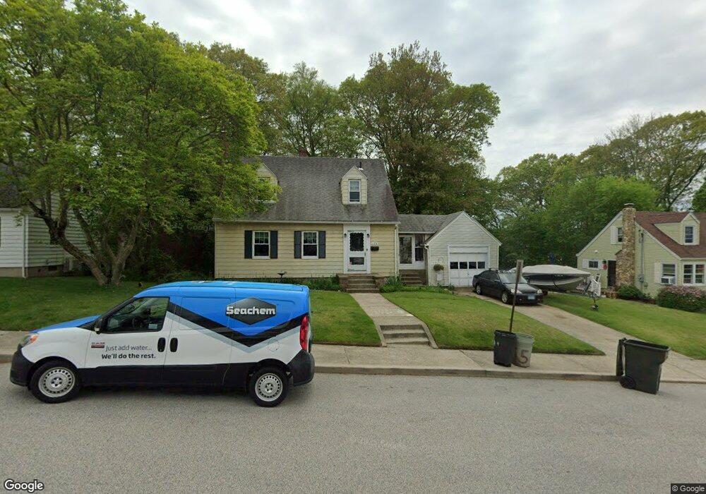
115 Morse Ave Groton, CT 06340
Estimated Value: $361,927 - $395,000
3
Beds
3
Baths
1,456
Sq Ft
$264/Sq Ft
Est. Value
About This Home
This home is located at 115 Morse Ave, Groton, CT 06340 and is currently estimated at $384,732, approximately $264 per square foot. 115 Morse Ave is a home located in New London County with nearby schools including Catherine Kolnaski STEAM Magnet School, Groton Middle School, and Robert E. Fitch High School.
Ownership History
Date
Name
Owned For
Owner Type
Purchase Details
Closed on
Nov 12, 2020
Sold by
Greene John W
Bought by
Lee David D and Lee Katie D
Current Estimated Value
Home Financials for this Owner
Home Financials are based on the most recent Mortgage that was taken out on this home.
Original Mortgage
$203,300
Outstanding Balance
$180,908
Interest Rate
2.8%
Mortgage Type
New Conventional
Estimated Equity
$203,824
Create a Home Valuation Report for This Property
The Home Valuation Report is an in-depth analysis detailing your home's value as well as a comparison with similar homes in the area
Home Values in the Area
Average Home Value in this Area
Purchase History
| Date | Buyer | Sale Price | Title Company |
|---|---|---|---|
| Lee David D | $214,000 | None Available |
Source: Public Records
Mortgage History
| Date | Status | Borrower | Loan Amount |
|---|---|---|---|
| Open | Lee David D | $203,300 |
Source: Public Records
Tax History Compared to Growth
Tax History
| Year | Tax Paid | Tax Assessment Tax Assessment Total Assessment is a certain percentage of the fair market value that is determined by local assessors to be the total taxable value of land and additions on the property. | Land | Improvement |
|---|---|---|---|---|
| 2025 | $4,622 | $159,880 | $92,113 | $67,767 |
| 2024 | $4,299 | $159,880 | $92,113 | $67,767 |
| 2023 | $4,125 | $159,880 | $63,070 | $96,810 |
| 2022 | $3,989 | $159,880 | $63,070 | $96,810 |
| 2021 | $3,856 | $127,330 | $42,070 | $85,260 |
| 2020 | $3,745 | $127,330 | $42,070 | $85,260 |
| 2019 | $3,625 | $127,330 | $42,070 | $85,260 |
| 2018 | $3,661 | $127,330 | $42,070 | $85,260 |
| 2017 | $3,673 | $127,330 | $42,070 | $85,260 |
| 2016 | $3,500 | $128,870 | $51,240 | $77,630 |
| 2015 | $3,456 | $128,870 | $51,240 | $77,630 |
| 2014 | $3,216 | $128,870 | $51,240 | $77,630 |
Source: Public Records
Map
Nearby Homes
- 42 Godfrey St
- 51 Warner St
- 55 Virginia Ave Unit C
- 41 Joe Ave
- 43 George Ave Unit B
- 3 George Ave
- 33 George Ave Unit B
- 74 Twin Hills Dr
- 520 Shennecossett Rd Unit J
- 520 Shennecossett Rd Unit 2
- 181 Mirra Dr
- 14 Denison Ave
- 262 Mitchell St
- 146 Mirra Dr
- 63 Johl Dr
- 119 High Rock Rd
- 42 A St
- 53 Westwood Dr
- 760 Shennecossett Rd
- 222 Tyler Ave