115 Mount Moriah Dr Mc Rae, AR 72102
Estimated Value: $381,880 - $516,000
Studio
3
Baths
2,735
Sq Ft
$155/Sq Ft
Est. Value
About This Home
This home is located at 115 Mount Moriah Dr, Mc Rae, AR 72102 and is currently estimated at $424,470, approximately $155 per square foot. 115 Mount Moriah Dr is a home located in White County with nearby schools including Beebe Elementary School, Beebe Middle School, and Beebe Junior High School.
Ownership History
Date
Name
Owned For
Owner Type
Purchase Details
Closed on
Oct 25, 2005
Sold by
Long Luther W and Long Delisa J
Bought by
Vanwinkle Melissa J and Vanwinkle Elston J
Current Estimated Value
Home Financials for this Owner
Home Financials are based on the most recent Mortgage that was taken out on this home.
Original Mortgage
$42,500
Interest Rate
5.73%
Mortgage Type
Future Advance Clause Open End Mortgage
Create a Home Valuation Report for This Property
The Home Valuation Report is an in-depth analysis detailing your home's value as well as a comparison with similar homes in the area
Purchase History
| Date | Buyer | Sale Price | Title Company |
|---|---|---|---|
| Vanwinkle Melissa J | $50,000 | None Available |
Source: Public Records
Mortgage History
| Date | Status | Borrower | Loan Amount |
|---|---|---|---|
| Closed | Vanwinkle Melissa J | $42,500 |
Source: Public Records
Tax History
| Year | Tax Paid | Tax Assessment Tax Assessment Total Assessment is a certain percentage of the fair market value that is determined by local assessors to be the total taxable value of land and additions on the property. | Land | Improvement |
|---|---|---|---|---|
| 2025 | $1,989 | $48,870 | $3,690 | $45,180 |
| 2024 | $1,989 | $48,870 | $3,690 | $45,180 |
| 2023 | $1,564 | $48,870 | $3,690 | $45,180 |
| 2022 | $1,614 | $48,870 | $3,690 | $45,180 |
| 2021 | $1,557 | $48,870 | $3,690 | $45,180 |
| 2020 | $1,465 | $45,200 | $1,770 | $43,430 |
| 2019 | $1,465 | $45,200 | $1,770 | $43,430 |
| 2018 | $1,490 | $45,200 | $1,770 | $43,430 |
| 2017 | $1,783 | $45,200 | $1,770 | $43,430 |
| 2016 | $1,783 | $43,820 | $1,770 | $42,050 |
| 2015 | -- | $41,720 | $2,500 | $39,220 |
| 2014 | -- | $41,720 | $2,500 | $39,220 |
Source: Public Records
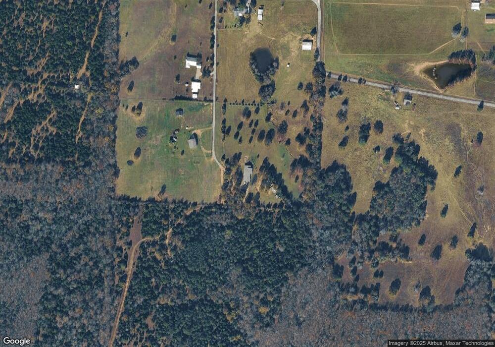
Map
Nearby Homes
- 0 Webb Hill Rd
- 000 Shiloh Rd
- 444 Blue Hole Rd
- Lot 5 Kenzie CV Rocky Branch Estates
- Lot 2 Kenzie Rd Rocky Branch Estates
- 125 Powder River Dr
- 112 Powder River Dr
- 108 Powder River Dr
- 102 Powder River Dr
- 118 Powder River Dr
- 106 Powder River Dr
- 127 Powder River Dr
- 120 Powder River Dr
- 104 Powder River Dr
- 110 Powder River Dr
- 121 Powder River Dr
- 116 Powder River Dr
- 119 Powder River Dr
- 125 Poindexter Ln
- 592 Shiloh Rd
- 110 Mount Moriah Dr
- 501 Webb Hill Rd
- 455 Webb Hill Rd
- 121 Fox Ln
- 528 Webb Hill Rd
- 112 Latture Ln
- 403 Webb Hill Rd
- 114 Latture Ln
- 402 Webb Hill Rd
- 414 Webb Hill Rd
- 379 Webb Hill Rd
- 317 Blue Hole Rd
- 388 Webb Hill Rd
- 126 Latture Ln
- 347 Webb Hill Rd
- 350 Webb Hill Rd
- 150 Latture Ln
- 316 Webb Hill Rd
- 413 Blue Hole Rd
- 607 Webb Hill Rd
Your Personal Tour Guide
Ask me questions while you tour the home.