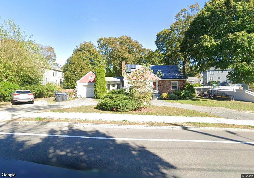
115 N Main St Natick, MA 01760
Estimated Value: $799,000 - $902,000
4
Beds
2
Baths
1,738
Sq Ft
$484/Sq Ft
Est. Value
About This Home
This home is located at 115 N Main St, Natick, MA 01760 and is currently estimated at $840,924, approximately $483 per square foot. 115 N Main St is a home located in Middlesex County with nearby schools including Natick High School, Wilson Middle School, and Bennett-Hemenway (Ben-Hem) Elementary School.
Ownership History
Date
Name
Owned For
Owner Type
Purchase Details
Closed on
Mar 31, 2005
Sold by
Paul Frances M and Amabile Mary M
Bought by
Atwood Jennifer M and Atwood Scott J
Current Estimated Value
Home Financials for this Owner
Home Financials are based on the most recent Mortgage that was taken out on this home.
Original Mortgage
$300,000
Outstanding Balance
$153,100
Interest Rate
5.61%
Mortgage Type
Purchase Money Mortgage
Estimated Equity
$687,824
Create a Home Valuation Report for This Property
The Home Valuation Report is an in-depth analysis detailing your home's value as well as a comparison with similar homes in the area
Home Values in the Area
Average Home Value in this Area
Purchase History
| Date | Buyer | Sale Price | Title Company |
|---|---|---|---|
| Atwood Jennifer M | $420,000 | -- |
Source: Public Records
Mortgage History
| Date | Status | Borrower | Loan Amount |
|---|---|---|---|
| Open | Atwood Jennifer M | $300,000 |
Source: Public Records
Tax History
| Year | Tax Paid | Tax Assessment Tax Assessment Total Assessment is a certain percentage of the fair market value that is determined by local assessors to be the total taxable value of land and additions on the property. | Land | Improvement |
|---|---|---|---|---|
| 2025 | $7,758 | $648,700 | $396,100 | $252,600 |
| 2024 | $7,482 | $610,300 | $372,800 | $237,500 |
| 2023 | $7,479 | $591,700 | $357,600 | $234,100 |
| 2022 | $7,280 | $545,700 | $323,900 | $221,800 |
| 2021 | $6,986 | $513,300 | $305,400 | $207,900 |
| 2020 | $6,798 | $499,500 | $291,600 | $207,900 |
| 2019 | $6,349 | $499,500 | $291,600 | $207,900 |
| 2018 | $5,683 | $435,500 | $277,700 | $157,800 |
| 2017 | $5,314 | $393,900 | $239,100 | $154,800 |
| 2016 | $5,070 | $373,600 | $220,200 | $153,400 |
| 2015 | $4,939 | $357,400 | $218,300 | $139,100 |
Source: Public Records
Map
Nearby Homes
- 7 Jackson Ct Unit B
- 27 2nd St
- 36 Winnemay St
- 293 Bacon St Unit A
- 9 Bellevue Rd
- 49 Summer St
- 20 Florence St Unit B
- 45 Summer St
- 16 Harvard St
- 89 W Central St
- 17 Florence St
- 7 High St
- 63 Pond St
- 5 Reynolds Ave Unit 2
- 50 Wethersfield Rd
- 3 Wilson St Unit 3B
- 3 Vale St Unit A
- 4B Lincoln St Unit 4B
- 53 Harvard Street Extension
- 6A Lincoln St Unit 6A
- 117 N Main St
- 117 N Main St Unit B
- 117 N Main St Unit A
- 113 N Main St
- 12 Franconia Ave
- 116 N Main St
- 10 Franconia Ave
- 18 Franconia Ave
- 119 N Main St Unit B
- 119 N Main St Unit A
- 118 N Main St
- 120 N Main St
- 20 Franconia Ave
- 107 N Main St
- 127 N Main St
- 9 1/2 Franconia Ave
- 9 Franconia Ave
- 124 N Main St
- 11 Franconia Ave
- 2 Franconia Ave
Your Personal Tour Guide
Ask me questions while you tour the home.