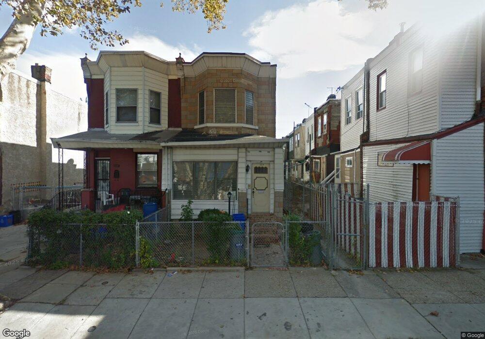
115 N Paxon St Philadelphia, PA 19139
Dunlap NeighborhoodEstimated Value: $199,000 - $228,000
4
Beds
1
Bath
1,536
Sq Ft
$139/Sq Ft
Est. Value
About This Home
This home is located at 115 N Paxon St, Philadelphia, PA 19139 and is currently estimated at $213,911, approximately $139 per square foot. 115 N Paxon St is a home located in Philadelphia County with nearby schools including Sherman Elementary School, Union Mill Elementary School, and James Rhoads Elementary School.
Ownership History
Date
Name
Owned For
Owner Type
Purchase Details
Closed on
May 18, 2014
Sold by
Guess Michael James and Guess Josina Cooper
Bought by
Muto Julianne and Owens Thomas C
Current Estimated Value
Home Financials for this Owner
Home Financials are based on the most recent Mortgage that was taken out on this home.
Original Mortgage
$101,625
Outstanding Balance
$76,815
Interest Rate
4.19%
Mortgage Type
New Conventional
Estimated Equity
$137,096
Purchase Details
Closed on
Nov 13, 2006
Sold by
Wilson Maggie
Bought by
Polite Perrico
Home Financials for this Owner
Home Financials are based on the most recent Mortgage that was taken out on this home.
Original Mortgage
$54,000
Interest Rate
6.39%
Mortgage Type
Purchase Money Mortgage
Create a Home Valuation Report for This Property
The Home Valuation Report is an in-depth analysis detailing your home's value as well as a comparison with similar homes in the area
Home Values in the Area
Average Home Value in this Area
Purchase History
| Date | Buyer | Sale Price | Title Company |
|---|---|---|---|
| Muto Julianne | $112,500 | Olde City Abstract Inc | |
| Polite Perrico | $74,000 | None Available |
Source: Public Records
Mortgage History
| Date | Status | Borrower | Loan Amount |
|---|---|---|---|
| Open | Muto Julianne | $101,625 | |
| Previous Owner | Polite Perrico | $54,000 |
Source: Public Records
Tax History Compared to Growth
Tax History
| Year | Tax Paid | Tax Assessment Tax Assessment Total Assessment is a certain percentage of the fair market value that is determined by local assessors to be the total taxable value of land and additions on the property. | Land | Improvement |
|---|---|---|---|---|
| 2026 | $1,377 | $137,400 | $27,480 | $109,920 |
| 2025 | $1,377 | $137,400 | $27,480 | $109,920 |
| 2024 | $1,377 | $137,400 | $27,480 | $109,920 |
| 2023 | $1,377 | $98,400 | $19,680 | $78,720 |
| 2022 | $196 | $53,400 | $19,680 | $33,720 |
| 2021 | $826 | $0 | $0 | $0 |
| 2020 | $826 | $0 | $0 | $0 |
| 2019 | $795 | $0 | $0 | $0 |
| 2018 | $349 | $0 | $0 | $0 |
| 2017 | $768 | $0 | $0 | $0 |
| 2016 | $349 | $0 | $0 | $0 |
| 2015 | $591 | $0 | $0 | $0 |
| 2014 | -- | $74,100 | $11,695 | $62,405 |
| 2012 | -- | $7,264 | $1,776 | $5,488 |
Source: Public Records
Map
Nearby Homes
- 138 N Dearborn St
- 59 N Dearborn St
- 43 N Dearborn St
- 27 N 51st St
- 5015 Arch St
- 52 N Dearborn St
- 448 N Dearborn St
- 21 N Dearborn St
- 23 N Dearborn St
- 38 N 50th St
- 5216 Race St
- 241 N Paxon St
- 141 N Lindenwood St
- 4908 Arch St
- 19 N 50th St
- 5131 Ludlow St
- 5239 Arch St
- 50 N Saint Bernard St
- 1666 N Lindenwood St
- 5136 Ludlow St