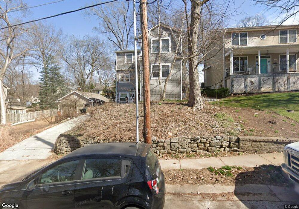
115 Oakwood Ave Saint Louis, MO 63119
Estimated Value: $428,260 - $477,000
3
Beds
2
Baths
1,464
Sq Ft
$303/Sq Ft
Est. Value
About This Home
This home is located at 115 Oakwood Ave, Saint Louis, MO 63119 and is currently estimated at $443,815, approximately $303 per square foot. 115 Oakwood Ave is a home located in St. Louis County with nearby schools including Avery Elementary School, Hixson Middle School, and Webster Groves High School.
Ownership History
Date
Name
Owned For
Owner Type
Purchase Details
Closed on
Jul 30, 1999
Sold by
Crites and Laura
Bought by
Knobbe Donald A and Picker Lisa R
Current Estimated Value
Home Financials for this Owner
Home Financials are based on the most recent Mortgage that was taken out on this home.
Original Mortgage
$120,600
Outstanding Balance
$33,330
Interest Rate
7.63%
Estimated Equity
$410,485
Create a Home Valuation Report for This Property
The Home Valuation Report is an in-depth analysis detailing your home's value as well as a comparison with similar homes in the area
Home Values in the Area
Average Home Value in this Area
Purchase History
| Date | Buyer | Sale Price | Title Company |
|---|---|---|---|
| Knobbe Donald A | $142,000 | -- |
Source: Public Records
Mortgage History
| Date | Status | Borrower | Loan Amount |
|---|---|---|---|
| Open | Knobbe Donald A | $120,600 |
Source: Public Records
Tax History Compared to Growth
Tax History
| Year | Tax Paid | Tax Assessment Tax Assessment Total Assessment is a certain percentage of the fair market value that is determined by local assessors to be the total taxable value of land and additions on the property. | Land | Improvement |
|---|---|---|---|---|
| 2025 | $4,416 | $75,910 | $42,470 | $33,440 |
| 2024 | $4,416 | $63,340 | $30,890 | $32,450 |
| 2023 | $4,416 | $63,340 | $30,890 | $32,450 |
| 2022 | $4,228 | $56,580 | $30,890 | $25,690 |
| 2021 | $4,214 | $56,580 | $30,890 | $25,690 |
| 2020 | $4,023 | $50,290 | $30,890 | $19,400 |
| 2019 | $3,994 | $50,290 | $30,890 | $19,400 |
| 2018 | $4,323 | $48,390 | $21,620 | $26,770 |
| 2017 | $4,294 | $48,390 | $21,620 | $26,770 |
| 2016 | $4,293 | $46,330 | $18,530 | $27,800 |
| 2015 | $4,311 | $46,330 | $18,530 | $27,800 |
| 2014 | $4,133 | $43,210 | $13,550 | $29,660 |
Source: Public Records
Map
Nearby Homes
- 112 Oakwood Ave
- 546 Holland Ave
- 617 N Elm Ave
- 441 Park Rd
- 136 N Gore Ave
- 218 Euclid Ave
- 814 Holland Ave
- 827 Cornell Ave
- 610 Cornelia Ave
- 336 Madison Ave
- 901 Ennis Ave
- 404 W Kirkham Ave
- 330 Lithia Ave
- 450 E Lockwood Ave Unit 303
- 1013 Bell Ave
- 426 W Kirkham Ave
- 619 N Bompart Ave
- 156 Gray Ave
- 529 Cyril Dr
- 400 Marion Ave
- 119 Oakwood Ave
- 105 Oakwood Ave
- 355 Rosedale Place
- 127 Oakwood Ave
- 118 Oakwood Ave
- 101 Oakwood Ave
- 363 Rosedale Place
- 106 Oakwood Ave
- 300 Dawson Ct
- 135 Oakwood Ave
- 320 Corona Ct
- 314 Corona Ct
- 400 Corona Ct
- 20 Oakwood Ave
- 309 Dawson Ct
- 406 Corona Ct
- 304 Corona Ct
- 412 Corona Ct
- 203 Arbor Ln
- 209 Arbor Ln