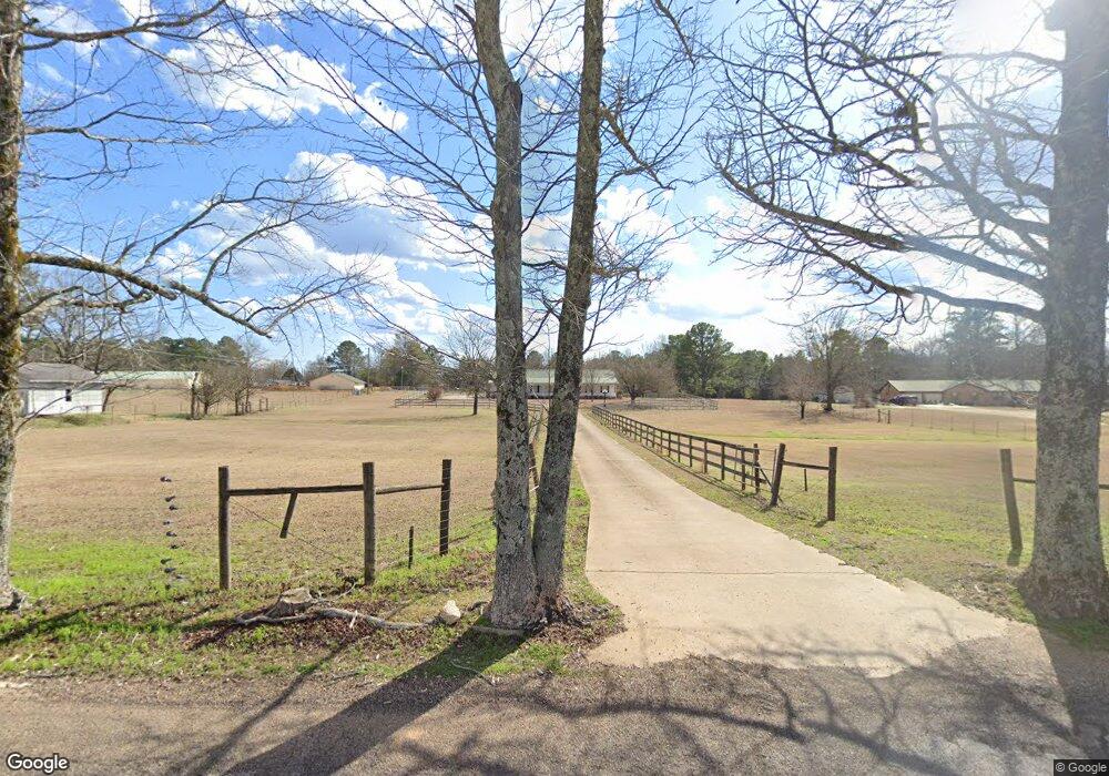
115 Oswalt Rd Columbus, MS 39702
Estimated Value: $218,684 - $304,000
Studio
--
Bath
2,495
Sq Ft
$102/Sq Ft
Est. Value
About This Home
This home is located at 115 Oswalt Rd, Columbus, MS 39702 and is currently estimated at $255,671, approximately $102 per square foot. 115 Oswalt Rd is a home.
Ownership History
Date
Name
Owned For
Owner Type
Purchase Details
Closed on
May 15, 2023
Sold by
Ayers Angela D
Bought by
Wheat Daniel
Current Estimated Value
Home Financials for this Owner
Home Financials are based on the most recent Mortgage that was taken out on this home.
Original Mortgage
$272,866
Outstanding Balance
$264,784
Interest Rate
6.25%
Mortgage Type
FHA
Estimated Equity
-$9,113
Purchase Details
Closed on
May 12, 2023
Sold by
Ayers Angela D
Bought by
Wheat Daniel
Home Financials for this Owner
Home Financials are based on the most recent Mortgage that was taken out on this home.
Original Mortgage
$272,866
Outstanding Balance
$264,784
Interest Rate
6.25%
Mortgage Type
FHA
Estimated Equity
-$9,113
Create a Home Valuation Report for This Property
The Home Valuation Report is an in-depth analysis detailing your home's value as well as a comparison with similar homes in the area
Home Values in the Area
Average Home Value in this Area
Purchase History
| Date | Buyer | Sale Price | Title Company |
|---|---|---|---|
| Wheat Daniel | -- | None Listed On Document | |
| Wheat Daniel | -- | None Listed On Document |
Source: Public Records
Mortgage History
| Date | Status | Borrower | Loan Amount |
|---|---|---|---|
| Open | Wheat Daniel | $272,866 |
Source: Public Records
Tax History
| Year | Tax Paid | Tax Assessment Tax Assessment Total Assessment is a certain percentage of the fair market value that is determined by local assessors to be the total taxable value of land and additions on the property. | Land | Improvement |
|---|---|---|---|---|
| 2025 | $973 | $13,011 | $0 | $0 |
| 2024 | $984 | $13,229 | $0 | $0 |
| 2023 | $310 | $10,822 | $0 | $0 |
| 2022 | $310 | $10,829 | $0 | $0 |
| 2021 | $300 | $10,838 | $0 | $0 |
| 2020 | $284 | $10,847 | $0 | $0 |
| 2019 | $292 | $10,829 | $0 | $0 |
| 2018 | $292 | $10,719 | $0 | $0 |
| 2017 | $277 | $10,713 | $0 | $0 |
| 2016 | $277 | $10,692 | $0 | $0 |
| 2015 | $299 | $10,944 | $0 | $0 |
| 2014 | $297 | $10,928 | $0 | $0 |
Source: Public Records
Map
Nearby Homes
- 262 Center Rd
- 16 Jenny Ln
- 836 Oswalt Rd
- 178 Rogers Way
- 17 Paige Cove
- 164 Sleepy Fawn Park
- 346 Williams Place
- 220 Woodridge Place
- 139 Lakeover Dr W
- 248 Lakeover Dr W
- 333 Drake Cir
- 76 Richardson Rd
- 190 Lakeover Dr E
- 304 Timber Creek Dr
- 805 Timber Creek Dr
- 2654 Yorkville Rd E
- 611 Thornton Dr
- Lot 3 Lost Lake Hills Rd
- 0 Lost Lake Hills Rd
- 479 Bryant Rd
- 3752 New Hope Rd
- 93 Oswalt Rd
- 153 Oswalt Rd
- 3786 New Hope Rd
- 74 Molly Ln
- 3822 New Hope Rd
- 231 Oswalt Rd
- 3735 New Hope Rd
- 3717 New Hope Rd
- 3755 New Hope Rd
- 3629 New Hope Rd
- 3775 New Hope Rd
- 3858 New Hope Rd
- 3797 New Hope Rd
- 3815 New Hope Rd
- 166 Cedar Ln
- 191 Reeves Rd
- 3898 New Hope Rd
- 209 Reeves Rd
- 267 Oswalt Rd
Your Personal Tour Guide
Ask me questions while you tour the home.