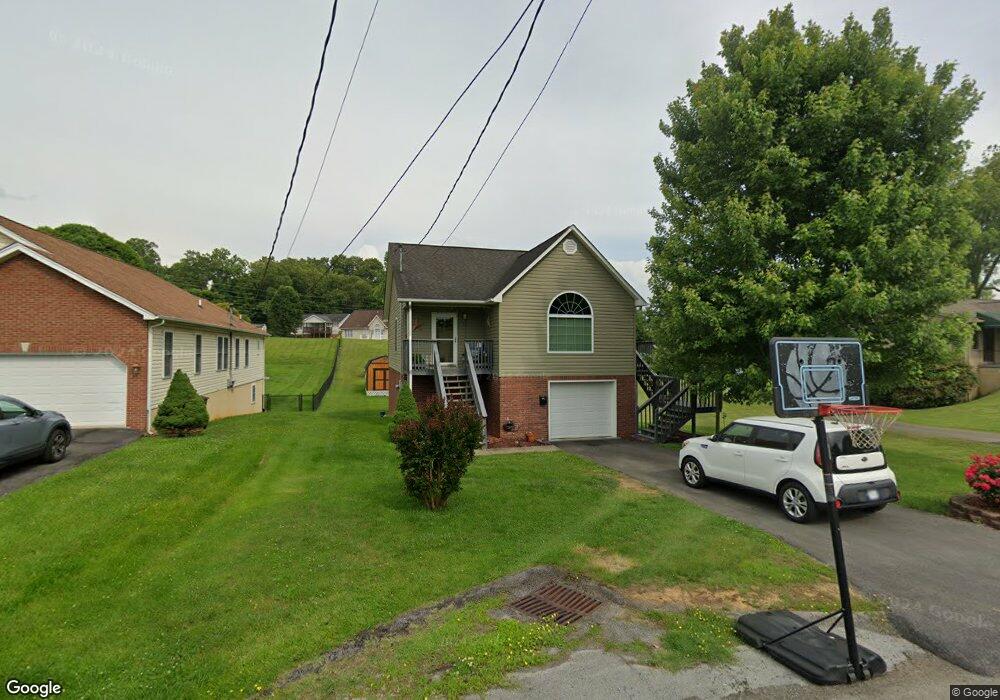
115 Pershing Ave Bristol, TN 37620
Estimated Value: $212,536 - $314,000
About This Home
This home is located at 115 Pershing Ave, Bristol, TN 37620 and is currently estimated at $254,134, approximately $220 per square foot. 115 Pershing Ave is a home located in Sullivan County with nearby schools including Haynesfield Elementary School, Vance Middle School, and Tennessee High School.
Ownership History
We collect this data history from publicly available records. To have your information removed, we recommend requesting removal directly through your county’s website.
Purchase Details
Home Financials for this Owner
Home Financials are based on the most recent Mortgage that was taken out on this home.Purchase Details
Purchase Details
Purchase Details
Purchase History
We collect this data history from publicly available records. To have your information removed, we recommend requesting removal directly through your county’s website.
| Date | Buyer | Sale Price | Title Company |
|---|---|---|---|
| $132,000 | -- | ||
| $19,250 | -- | ||
| $23,000 | -- | ||
| $125,000 | -- |
Mortgage History
We collect this data history from publicly available records. To have your information removed, we recommend requesting removal directly through your county’s website.
| Date | Status | Borrower | Loan Amount |
|---|---|---|---|
| Open | $99,000 | ||
| Closed | $19,800 |
Tax History
We collect this data history from publicly available records. To have your information removed, we recommend requesting removal directly through your county’s website.
| Year | Tax Paid | Tax Assessment Tax Assessment Total Assessment is a certain percentage of the fair market value that is determined by local assessors to be the total taxable value of land and additions on the property. | Land | Improvement |
|---|---|---|---|---|
| 2025 | -- | $56,925 | $4,850 | $52,075 |
| 2024 | -- | $32,225 | $3,250 | $28,975 |
| 2023 | $1,415 | $32,225 | $3,250 | $28,975 |
| 2022 | $1,415 | $32,225 | $3,250 | $28,975 |
| 2021 | $1,415 | $32,225 | $3,250 | $28,975 |
| 2020 | $1,345 | $32,225 | $3,250 | $28,975 |
| 2019 | $1,345 | $28,425 | $3,250 | $25,175 |
| 2018 | $1,339 | $28,425 | $3,250 | $25,175 |
| 2017 | $1,339 | $28,425 | $3,250 | $25,175 |
| 2016 | $1,508 | $31,250 | $3,250 | $28,000 |
| 2014 | $1,423 | $31,234 | $0 | $0 |
Map
- 116 W Cedar St
- 1617 Tremont Ave
- 1527 Edgemont Ave
- 1616 Tremont Ave
- 105 York Dr
- 111 Auburn St
- 301 Carolyn Cir
- 1012 College Ave
- 1027 Columbia Rd
- 907 Marion Ave
- 1300 Holston Dr
- 135 Cedar Valley Rd
- 1461 Holston Dr
- 704 Reynolds St
- 105 Dale Place
- 105 Pemberton Ct
- 825 5th St
- 1124 Indian Hills Dr
- 1020 Tennessee Ave
- 577 English St
- 109 Pershing Ave
- 133 Pershing Ave
- 120 W Cedar St
- 112 W Cedar St
- 108 Pershing Ave
- 126 Jonesboro Rd
- 110 W Cedar St
- 125 Lark St
- 119 Lark St
- 111 Lark St
- 200 W Cedar St
- 129 Lark St
- 102 Jonesboro Rd
- 118 Jonesboro Rd
- 1509 Tremont Ave
- 1511 Tremont Ave
- 201 W Cedar St
- 140 Jonesboro Rd
- 1505 Tremont Ave
- 1515 Tremont Ave
Ask me questions while you tour the home.