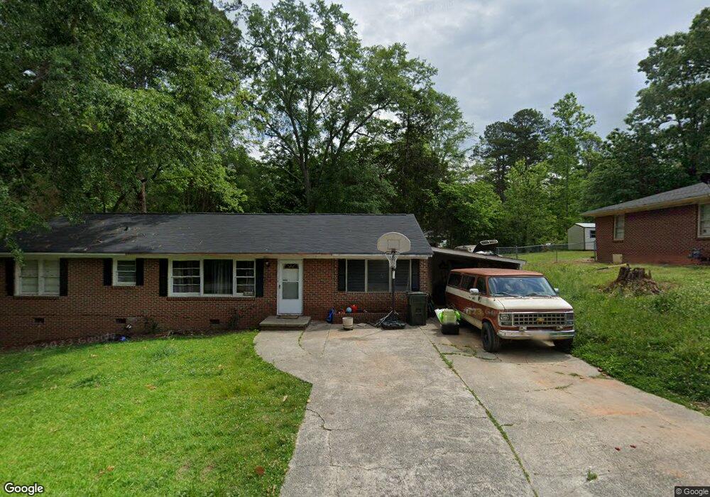
115 Poplar St Unit 9 Toccoa, GA 30577
Estimated Value: $198,682 - $237,000
3
Beds
1
Bath
1,100
Sq Ft
$190/Sq Ft
Est. Value
About This Home
This home is located at 115 Poplar St Unit 9, Toccoa, GA 30577 and is currently estimated at $209,421, approximately $190 per square foot. 115 Poplar St Unit 9 is a home located in Stephens County with nearby schools including Stephens County High School.
Ownership History
Date
Name
Owned For
Owner Type
Purchase Details
Closed on
May 27, 2022
Sold by
Simerly Gary F
Bought by
Dalton Dennis Gerald and Dalton Kerri M
Current Estimated Value
Home Financials for this Owner
Home Financials are based on the most recent Mortgage that was taken out on this home.
Original Mortgage
$176,739
Outstanding Balance
$168,177
Interest Rate
5.75%
Mortgage Type
FHA
Estimated Equity
$41,244
Purchase Details
Closed on
Feb 28, 2012
Bought by
Simerly Gary F
Purchase Details
Closed on
Dec 6, 2011
Sold by
Freeman James Ronnie
Create a Home Valuation Report for This Property
The Home Valuation Report is an in-depth analysis detailing your home's value as well as a comparison with similar homes in the area
Purchase History
| Date | Buyer | Sale Price | Title Company |
|---|---|---|---|
| Dalton Dennis Gerald | $180,000 | -- | |
| Simerly Gary F | $20,100 | -- | |
| -- | $28,985 | -- |
Source: Public Records
Mortgage History
| Date | Status | Borrower | Loan Amount |
|---|---|---|---|
| Open | Dalton Dennis Gerald | $176,739 |
Source: Public Records
Tax History
| Year | Tax Paid | Tax Assessment Tax Assessment Total Assessment is a certain percentage of the fair market value that is determined by local assessors to be the total taxable value of land and additions on the property. | Land | Improvement |
|---|---|---|---|---|
| 2025 | $2,083 | $70,163 | $2,102 | $68,061 |
| 2024 | $1,613 | $45,254 | $2,102 | $43,152 |
| 2023 | $1,484 | $41,943 | $2,102 | $39,841 |
| 2022 | $635 | $21,337 | $2,102 | $19,235 |
| 2021 | $615 | $19,678 | $2,102 | $17,576 |
| 2020 | $620 | $19,617 | $2,102 | $17,515 |
| 2019 | $622 | $19,617 | $2,102 | $17,515 |
| 2018 | $622 | $19,617 | $2,102 | $17,515 |
| 2017 | $632 | $19,617 | $2,102 | $17,515 |
| 2016 | $622 | $19,617 | $2,102 | $17,515 |
| 2015 | $657 | $19,772 | $2,102 | $17,670 |
| 2014 | $668 | $19,772 | $2,102 | $17,670 |
| 2013 | -- | $20,125 | $2,102 | $18,023 |
Source: Public Records
Map
Nearby Homes
- 9 Poplar St
- 59 Sunset Ln
- 30 Moore Ave
- 132 Queen St
- 229 Hilltop Ln
- 122 King St
- 128 Branch St
- 500 S Pond St
- 0 Valley Dr Unit 7675761
- 0 Valley Dr Unit 10600268
- 478 S Pond St
- 714 E Currahee St
- 614 616 S Pond St
- 0 Stephen Dr Unit 10662201
- 526 Poplar St
- 320 S Pond St
- 0 Hwy 17 Alt Unit 10577119
- 53 Cole Manor Dr
- 574 S Sage St
- 943 S Pond St