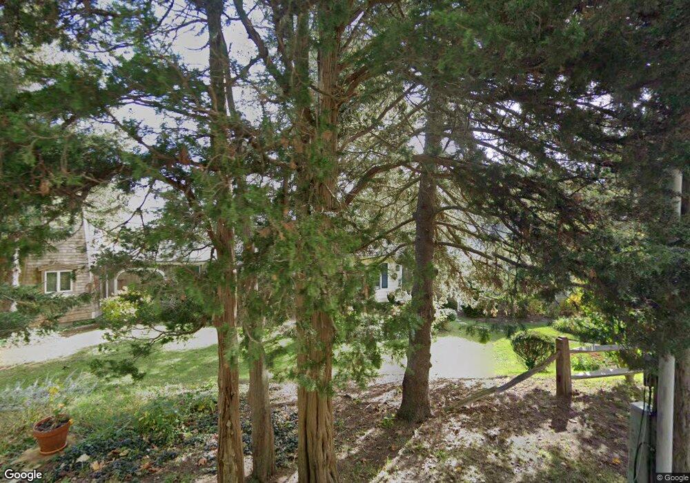
115 Portanimicut Rd Unit 2 Orleans, MA 02653
Estimated Value: $515,000 - $631,000
3
Beds
2
Baths
874
Sq Ft
$666/Sq Ft
Est. Value
About This Home
This home is located at 115 Portanimicut Rd Unit 2, Orleans, MA 02653 and is currently estimated at $582,364, approximately $666 per square foot. 115 Portanimicut Rd Unit 2 is a home located in Barnstable County with nearby schools including Orleans Elementary School, Nauset Regional Middle School, and Nauset Regional High School.
Ownership History
Date
Name
Owned For
Owner Type
Purchase Details
Closed on
May 14, 2004
Sold by
Werner Maud and Werner Raymond
Bought by
Freeman Michelle C and Scholomiti Philip O
Current Estimated Value
Home Financials for this Owner
Home Financials are based on the most recent Mortgage that was taken out on this home.
Original Mortgage
$164,506
Outstanding Balance
$76,967
Interest Rate
5.47%
Mortgage Type
Purchase Money Mortgage
Estimated Equity
$505,397
Purchase Details
Closed on
Aug 31, 1995
Sold by
Maza Leonard D and Maza Jocelyn M
Bought by
Werner Raymond and Werner Maud
Home Financials for this Owner
Home Financials are based on the most recent Mortgage that was taken out on this home.
Original Mortgage
$95,000
Interest Rate
7.61%
Mortgage Type
Purchase Money Mortgage
Create a Home Valuation Report for This Property
The Home Valuation Report is an in-depth analysis detailing your home's value as well as a comparison with similar homes in the area
Home Values in the Area
Average Home Value in this Area
Purchase History
| Date | Buyer | Sale Price | Title Company |
|---|---|---|---|
| Freeman Michelle C | $364,506 | -- | |
| Freeman Michelle C | $364,506 | -- | |
| Werner Raymond | $100,000 | -- |
Source: Public Records
Mortgage History
| Date | Status | Borrower | Loan Amount |
|---|---|---|---|
| Open | Freeman Michelle C | $164,506 | |
| Closed | Werner Raymond | $164,506 | |
| Previous Owner | Werner Raymond | $95,000 |
Source: Public Records
Tax History Compared to Growth
Tax History
| Year | Tax Paid | Tax Assessment Tax Assessment Total Assessment is a certain percentage of the fair market value that is determined by local assessors to be the total taxable value of land and additions on the property. | Land | Improvement |
|---|---|---|---|---|
| 2025 | $3,718 | $595,800 | $0 | $595,800 |
| 2024 | $3,069 | $478,800 | $0 | $478,800 |
| 2023 | $2,757 | $442,600 | $0 | $442,600 |
| 2022 | $2,796 | $388,400 | $0 | $388,400 |
| 2021 | $2,899 | $369,800 | $0 | $369,800 |
| 2020 | $2,663 | $352,300 | $0 | $352,300 |
| 2019 | $2,589 | $349,800 | $0 | $349,800 |
| 2018 | $2,161 | $325,900 | $0 | $325,900 |
| 2017 | $1,959 | $309,400 | $0 | $309,400 |
| 2016 | $1,959 | $303,300 | $0 | $303,300 |
| 2015 | $1,914 | $298,200 | $0 | $298,200 |
Source: Public Records
Map
Nearby Homes
- 115 Portanimicut Rd Unit 4
- 115 Portanimicut Rd Unit 3
- 115 Portanimicut Rd Unit 1
- 119 Portanimicut Rd
- 111 Portanimicut Rd
- 109 Portanimicut Rd
- 109 Portanimicut Rd
- 11 Barry Hollow Rd
- 116 Portanimicut Rd
- 127 Portanimicut Rd
- 8 Barry Hollow Rd
- 107 Portanimicut Rd
- 126 Portanimicut Rd
- 10 Barry Hollow Rd
- 131 Portanimicut Rd
- 130 Portanimicut Rd
- 16 Deacons Way
- 128 Portanimicut Rd
- 6 Deacons Way
- 22 Indian Fort Hill Ln