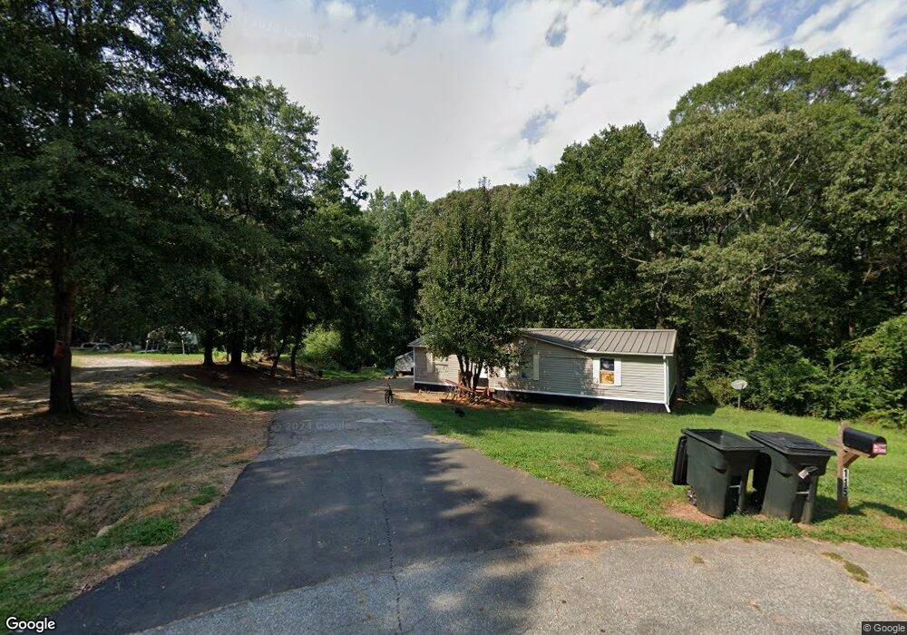
115 Rayben Ln Anderson, SC 29624
Estimated Value: $146,141 - $308,000
3
Beds
2
Baths
2,432
Sq Ft
$86/Sq Ft
Est. Value
About This Home
This home is located at 115 Rayben Ln, Anderson, SC 29624 and is currently estimated at $209,035, approximately $85 per square foot. 115 Rayben Ln is a home located in Anderson County with nearby schools including Varennes Elementary School, Robert Anderson Middle School, and Westside High School.
Ownership History
Date
Name
Owned For
Owner Type
Purchase Details
Closed on
Mar 27, 2023
Sold by
Ayers Patricia
Bought by
Grindle Ashley N
Current Estimated Value
Purchase Details
Closed on
Dec 22, 2020
Sold by
Adamss Tessa W and Estate Of Edward Brantley Coe
Bought by
Ayers Patricia
Purchase Details
Closed on
Mar 9, 2004
Sold by
Mortgage Lenders Network U
Bought by
Cod Edward B
Purchase Details
Closed on
Feb 23, 2004
Sold by
Welch James D
Bought by
Kaur Kevin
Purchase Details
Closed on
Aug 31, 1999
Sold by
Foster Robert T
Bought by
Collins Barry
Create a Home Valuation Report for This Property
The Home Valuation Report is an in-depth analysis detailing your home's value as well as a comparison with similar homes in the area
Home Values in the Area
Average Home Value in this Area
Purchase History
| Date | Buyer | Sale Price | Title Company |
|---|---|---|---|
| Grindle Ashley N | -- | -- | |
| Ayers Patricia | -- | None Available | |
| Cod Edward B | $25,000 | -- | |
| Kaur Kevin | $107,500 | -- | |
| Collins Barry | $17,000 | -- |
Source: Public Records
Tax History Compared to Growth
Tax History
| Year | Tax Paid | Tax Assessment Tax Assessment Total Assessment is a certain percentage of the fair market value that is determined by local assessors to be the total taxable value of land and additions on the property. | Land | Improvement |
|---|---|---|---|---|
| 2024 | $437 | $1,370 | $1,310 | $60 |
| 2023 | $439 | $1,370 | $1,310 | $60 |
| 2022 | $428 | $1,370 | $1,310 | $60 |
| 2021 | $413 | $1,270 | $1,220 | $50 |
| 2020 | $346 | $1,080 | $1,030 | $50 |
| 2019 | $346 | $1,080 | $1,030 | $50 |
| 2018 | $341 | $1,080 | $1,030 | $50 |
| 2017 | -- | $1,080 | $1,030 | $50 |
| 2016 | $313 | $1,010 | $960 | $50 |
| 2015 | $316 | $1,010 | $960 | $50 |
| 2014 | $311 | $1,010 | $960 | $50 |
Source: Public Records
Map
Nearby Homes
- Lot 4C Kaye Dr
- 133 Cedar Rd
- 144 Cloverhill Dr
- 231 Cloverhill Dr
- 216 Cloverhill Dr
- 1123 Airline Rd
- ESSEX Plan at Creekside
- DUPONT Plan at Creekside
- 209 Carswell Dr
- 213 Carswell Dr
- 412 Airline Rd
- 3508 Allston St
- 114 George Edward Dr
- 113 Norbert Ln
- 120 George Edward Dr
- 122 George Edward Dr
- 499 Acker Rd
- Tract 3 Acker Rd
- 104 Norbert Ln
- 501 Corning St