115 River Ln Jamestown, TN 38556
Estimated Value: $124,000 - $179,000
2
Beds
1
Bath
888
Sq Ft
$168/Sq Ft
Est. Value
About This Home
This home is located at 115 River Ln, Jamestown, TN 38556 and is currently estimated at $149,482, approximately $168 per square foot. 115 River Ln is a home located in Fentress County.
Ownership History
Date
Name
Owned For
Owner Type
Purchase Details
Closed on
Jul 28, 2023
Sold by
Jennings Billy and Stansel Karen
Bought by
Steelman Timothy C and Steelman Patricia A
Current Estimated Value
Home Financials for this Owner
Home Financials are based on the most recent Mortgage that was taken out on this home.
Original Mortgage
$79,000
Outstanding Balance
$76,612
Interest Rate
5.71%
Mortgage Type
New Conventional
Estimated Equity
$72,870
Purchase Details
Closed on
Sep 4, 2014
Sold by
Tant Clarence W
Bought by
Stansel Karen
Home Financials for this Owner
Home Financials are based on the most recent Mortgage that was taken out on this home.
Original Mortgage
$25,000
Interest Rate
4.2%
Mortgage Type
Cash
Purchase Details
Closed on
Apr 21, 2002
Bought by
Tant Clarence W and Tant Vondella
Purchase Details
Closed on
Apr 28, 1994
Bought by
Reagan Wendell J
Purchase Details
Closed on
Feb 13, 1990
Bought by
Reagan Wendell
Create a Home Valuation Report for This Property
The Home Valuation Report is an in-depth analysis detailing your home's value as well as a comparison with similar homes in the area
Purchase History
| Date | Buyer | Sale Price | Title Company |
|---|---|---|---|
| Steelman Timothy C | $89,000 | Capstone Title | |
| Stansel Karen | $22,000 | -- | |
| Tant Clarence W | $41,000 | -- | |
| Reagan Wendell J | $20,000 | -- | |
| Reagan Wendell | $22,000 | -- |
Source: Public Records
Mortgage History
| Date | Status | Borrower | Loan Amount |
|---|---|---|---|
| Open | Steelman Timothy C | $79,000 | |
| Previous Owner | Stansel Karen | $25,000 |
Source: Public Records
Tax History
| Year | Tax Paid | Tax Assessment Tax Assessment Total Assessment is a certain percentage of the fair market value that is determined by local assessors to be the total taxable value of land and additions on the property. | Land | Improvement |
|---|---|---|---|---|
| 2025 | $302 | $22,350 | $2,250 | $20,100 |
| 2024 | $302 | $22,350 | $2,250 | $20,100 |
| 2023 | $302 | $22,350 | $2,250 | $20,100 |
| 2022 | $224 | $11,725 | $1,750 | $9,975 |
| 2021 | $224 | $11,725 | $1,750 | $9,975 |
| 2020 | $224 | $11,725 | $1,750 | $9,975 |
| 2019 | $224 | $11,725 | $1,750 | $9,975 |
| 2018 | $224 | $11,725 | $1,750 | $9,975 |
| 2017 | $241 | $12,125 | $1,750 | $10,375 |
| 2016 | $241 | $12,125 | $1,750 | $10,375 |
| 2015 | $241 | $12,128 | $0 | $0 |
| 2014 | $241 | $12,128 | $0 | $0 |
Source: Public Records
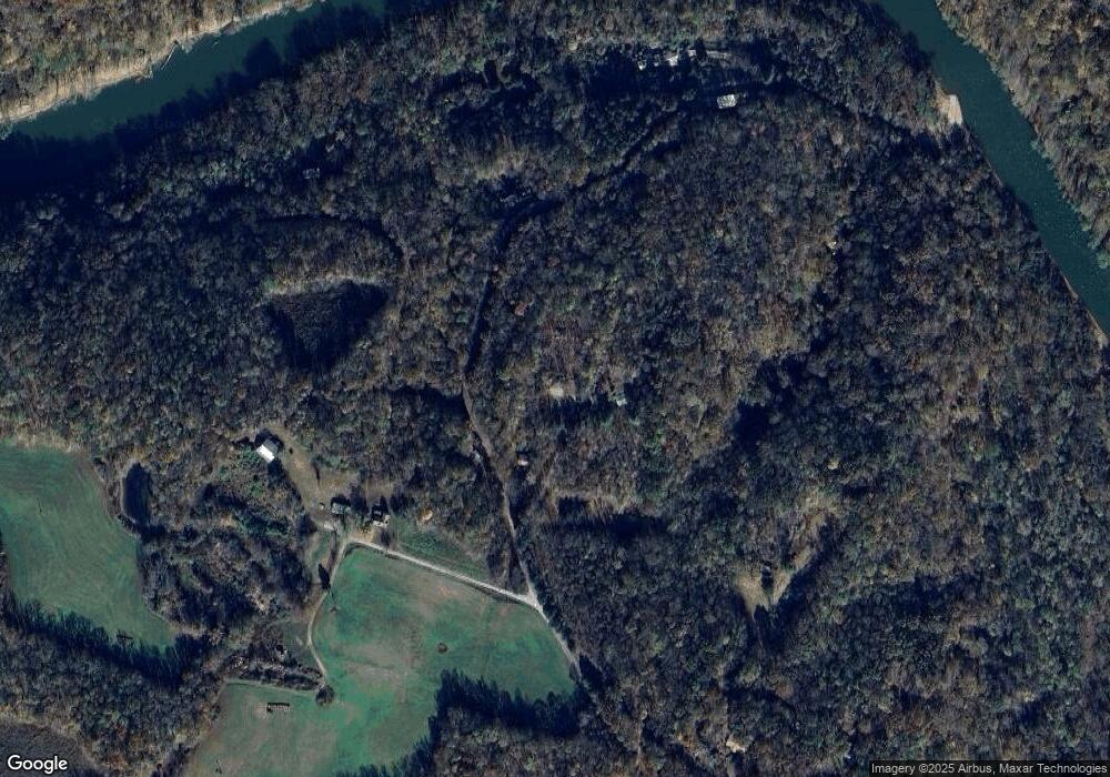
Map
Nearby Homes
- 2021 Milky Way Rd
- 0 Lot 55 Milky Way
- 0 Milky Way Rd Unit RTC2996177
- 5616 E Port Dock Rd
- 5615 Eastport Rd
- 5480 Eastport Rd
- 0 Bolestown Loop
- 0 Bolestown Loop
- 0 Cliff Edge Rd
- Lot Cliff Edge Rd
- 1255 Winningham Rd
- 43.36 ac Winningham Rd
- 2726 Doubletop Rd
- 12.55ac Winningham Rd
- 00 Double Top Rd
- Lot 66 Big Hollow Rd
- Lot 11 Big Hollow Rd
- 4575 Upper Crab Rd
- 343 Annabelle Way
- 4205 Garfield Hinds Rd
- 0 River Ln
- 0 Compton Bottom Dr Unit 133785
- 0 Compton Bottom Dr Unit 593612
- 0 Compton Bottom Dr Unit 629874
- 0 Compton Bottom Dr Unit 758873
- 0 Compton Bottom Dr Unit 909687
- 2627 Riverton Rd
- 120 River Ln
- COMPTON Bottom Dr
- 2569 Riverton Rd
- 0 S Compton Bottom Rd Unit 662820
- 2651 Riverton Rd
- 2664 Compton Bottom Dr
- 2601 Riverton Rd
- 770 Compton Ln
- 766 Compton Bottom Dr
- 766 Compton Bottom
- 2693 Riverton Rd
- 2691 Riverton Rd
- 2696 Compton Bottom Dr
Your Personal Tour Guide
Ask me questions while you tour the home.