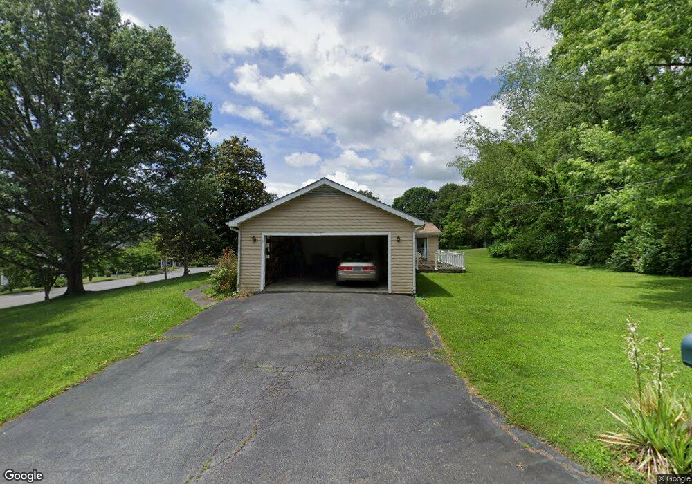
115 S Hampton Dr Bristol, TN 37620
Estimated Value: $354,908 - $457,000
4
Beds
3
Baths
2,247
Sq Ft
$175/Sq Ft
Est. Value
About This Home
This home is located at 115 S Hampton Dr, Bristol, TN 37620 and is currently estimated at $393,727, approximately $175 per square foot. 115 S Hampton Dr is a home located in Sullivan County with nearby schools including Holston View Elementary School, Vance Middle School, and Tennessee High School.
Ownership History
Date
Name
Owned For
Owner Type
Purchase Details
Closed on
Jul 13, 2004
Sold by
Roy Prasanta K and Roy Latika
Bought by
Harman Michael W
Current Estimated Value
Home Financials for this Owner
Home Financials are based on the most recent Mortgage that was taken out on this home.
Original Mortgage
$117,600
Outstanding Balance
$57,991
Interest Rate
6.24%
Estimated Equity
$335,736
Purchase Details
Closed on
Mar 23, 2004
Sold by
Addison Sandy A
Bought by
Roy Prasanta K
Purchase Details
Closed on
Aug 6, 2001
Sold by
Prasanta Roy
Bought by
John Poore
Home Financials for this Owner
Home Financials are based on the most recent Mortgage that was taken out on this home.
Original Mortgage
$137,000
Interest Rate
7.19%
Create a Home Valuation Report for This Property
The Home Valuation Report is an in-depth analysis detailing your home's value as well as a comparison with similar homes in the area
Purchase History
| Date | Buyer | Sale Price | Title Company |
|---|---|---|---|
| Harman Michael W | $147,000 | -- | |
| Roy Prasanta K | $139,900 | -- | |
| John Poore | $139,900 | -- |
Source: Public Records
Mortgage History
| Date | Status | Borrower | Loan Amount |
|---|---|---|---|
| Open | John Poore | $117,600 | |
| Previous Owner | John Poore | $137,000 |
Source: Public Records
Tax History
| Year | Tax Paid | Tax Assessment Tax Assessment Total Assessment is a certain percentage of the fair market value that is determined by local assessors to be the total taxable value of land and additions on the property. | Land | Improvement |
|---|---|---|---|---|
| 2025 | -- | $90,675 | $0 | $0 |
| 2024 | -- | $46,025 | $4,975 | $41,050 |
| 2023 | $2,021 | $46,025 | $4,975 | $41,050 |
| 2022 | $2,021 | $46,025 | $4,975 | $41,050 |
| 2021 | $2,022 | $46,025 | $4,975 | $41,050 |
| 2020 | $2,055 | $46,025 | $4,975 | $41,050 |
| 2019 | $2,055 | $43,425 | $4,975 | $38,450 |
| 2018 | $2,046 | $43,425 | $4,975 | $38,450 |
| 2017 | $2,046 | $43,425 | $4,975 | $38,450 |
| 2016 | $2,050 | $42,475 | $4,975 | $37,500 |
| 2014 | -- | $42,475 | $0 | $0 |
Source: Public Records
Map
Nearby Homes
- 6125 Old Jonesboro Rd
- 205 Donegal Way
- 13431 Stone Dr
- 61 Fairway Dr
- Tbd Kilcoote Way
- Tbd Briscoe Dr
- 24417 Briscoe Dr
- 362 Monroe Dr
- 368 Monroe Dr
- 340 Monroe Dr
- 348 Monroe Dr
- 334 Monroe Dr
- 230 Monroe Dr
- 296 Monroe Dr
- 354 Monroe Dr
- 304 Monroe Dr
- 207 Monroe Dr
- 154 Creek Side Ct
- 102 Oak View Cir
- 237 Oak View Cir
- 14 Plymouth Cir
- 101 Hampton Ct
- 116 S Hampton Dr
- 103 Hampton Ct
- 103 Hampton Ct Unit 103
- 103 Hampton Ct Unit A
- 112 S Hampton Dr
- 202 S Hampton Dr
- 202 S Hampton Dr Unit 202
- 107 S Hampton Dr
- 102 Hampton Ct
- 104 Hampton Ct
- 15 Plymouth Cir
- 206 S Hampton Dr
- 18 Plymouth Cir
- 19 Plymouth Cir
- 104 S Hampton Dr
- 109 Churchill Cir
- 211 Hampton
- 86 Abbie Ln