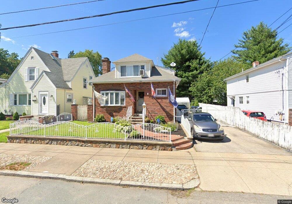
115 Sinclair Ave Cranston, RI 02907
Estimated Value: $494,348 - $661,000
4
Beds
3
Baths
1,911
Sq Ft
$296/Sq Ft
Est. Value
About This Home
This home is located at 115 Sinclair Ave, Cranston, RI 02907 and is currently estimated at $564,837, approximately $295 per square foot. 115 Sinclair Ave is a home located in Providence County with nearby schools including Paul Cuffee High School and Sophia Academy.
Ownership History
Date
Name
Owned For
Owner Type
Purchase Details
Closed on
Jul 13, 1993
Sold by
Keough Sandra M
Bought by
Jennings Wilbur W
Current Estimated Value
Home Financials for this Owner
Home Financials are based on the most recent Mortgage that was taken out on this home.
Original Mortgage
$116,850
Interest Rate
7.43%
Mortgage Type
Purchase Money Mortgage
Purchase Details
Closed on
Jun 29, 1990
Sold by
Hryshchayshyn Stephen
Bought by
Noret Sandra M
Create a Home Valuation Report for This Property
The Home Valuation Report is an in-depth analysis detailing your home's value as well as a comparison with similar homes in the area
Purchase History
| Date | Buyer | Sale Price | Title Company |
|---|---|---|---|
| Jennings Wilbur W | $123,000 | -- | |
| Noret Sandra M | $128,500 | -- |
Source: Public Records
Mortgage History
| Date | Status | Borrower | Loan Amount |
|---|---|---|---|
| Open | Noret Sandra M | $60,000 | |
| Open | Noret Sandra M | $229,400 | |
| Closed | Noret Sandra M | $190,000 | |
| Closed | Noret Sandra M | $116,850 |
Source: Public Records
Tax History
| Year | Tax Paid | Tax Assessment Tax Assessment Total Assessment is a certain percentage of the fair market value that is determined by local assessors to be the total taxable value of land and additions on the property. | Land | Improvement |
|---|---|---|---|---|
| 2025 | $3,410 | $451,700 | $129,800 | $321,900 |
| 2024 | $5,923 | $322,800 | $87,200 | $235,600 |
| 2023 | $5,923 | $322,800 | $87,200 | $235,600 |
| 2022 | $5,746 | $322,800 | $87,200 | $235,600 |
| 2021 | $5,209 | $212,100 | $58,100 | $154,000 |
| 2020 | $5,209 | $212,100 | $58,100 | $154,000 |
| 2019 | $5,209 | $212,100 | $58,100 | $154,000 |
| 2018 | $4,976 | $155,700 | $52,800 | $102,900 |
| 2017 | $4,976 | $155,700 | $52,800 | $102,900 |
| 2016 | $4,976 | $155,700 | $52,800 | $102,900 |
| 2015 | $4,594 | $138,800 | $41,100 | $97,700 |
| 2014 | $4,685 | $138,800 | $41,100 | $97,700 |
| 2013 | $4,685 | $138,800 | $41,100 | $97,700 |
Source: Public Records
Map
Nearby Homes
- 31 Burrows St
- 129 Alger Ave
- 125 Alger Ave
- 113 Alger Ave
- 43 Woodbine St
- 41 Cottage St
- 326 Beckwith St
- 55 Togansett Rd
- 00 Westmore St
- 26 Westmore St
- 102 Dixon St Unit 12
- 227 Sackett St
- 90 Garden St
- 140 Eldridge St
- 288 Pontiac Ave
- 309 Station St
- 99 Dixon St
- 6 Tobyhanna St
- 236 Gallatin St
- 152 Woodbine St
- 121 Sinclair Ave
- 111 Sinclair Ave
- 0 Sinclair Ave
- 107 Sinclair Ave
- 120 Rutherglen Ave
- 122 Rutherglen Ave
- 127 Sinclair Ave
- 114 Rutherglen Ave
- 128 Rutherglen Ave
- 108 Rutherglen Ave
- 118 Sinclair Ave
- 105 Sinclair Ave
- 133 Sinclair Ave
- 126 Sinclair Ave
- 112 Sinclair Ave
- 130 Sinclair Ave
- 100 Rutherglen Ave
- 108 Sinclair Ave
- 132 Rutherglen Ave
- 103 Sinclair Ave
Your Personal Tour Guide
Ask me questions while you tour the home.