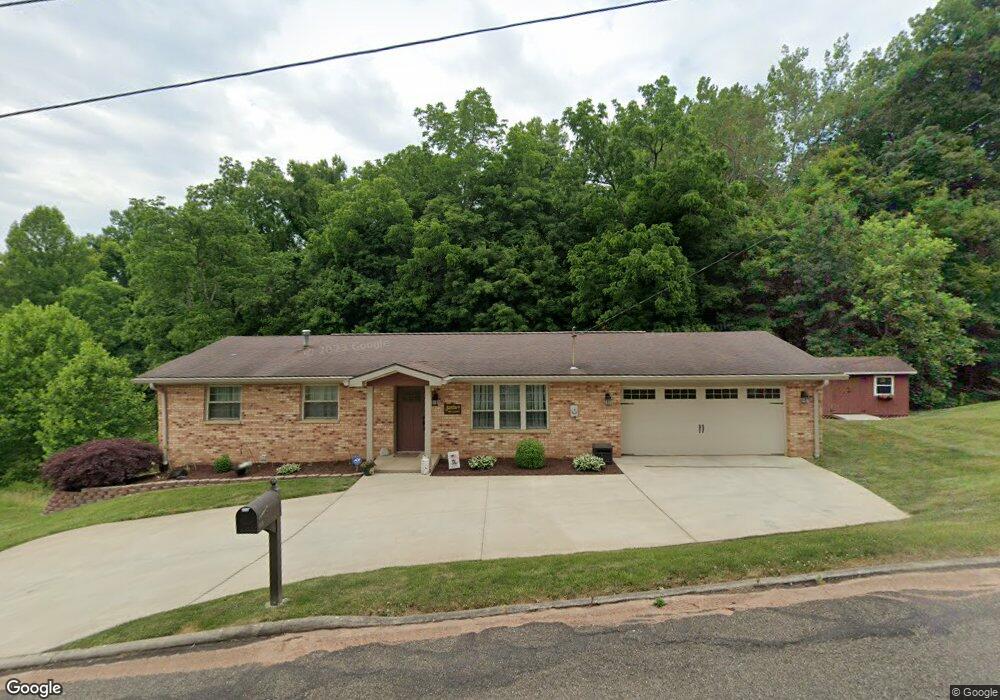
115 Skyvue Cir Marietta, OH 45750
Estimated Value: $271,000 - $297,000
4
Beds
2
Baths
1,334
Sq Ft
$210/Sq Ft
Est. Value
About This Home
This home is located at 115 Skyvue Cir, Marietta, OH 45750 and is currently estimated at $280,805, approximately $210 per square foot. 115 Skyvue Cir is a home located in Washington County with nearby schools including Marietta High School.
Ownership History
Date
Name
Owned For
Owner Type
Purchase Details
Closed on
Dec 3, 2018
Sold by
Mathers Potoola and Papaefstathiou Photoola
Bought by
Mathers Jason E and Mathers Photoola
Current Estimated Value
Home Financials for this Owner
Home Financials are based on the most recent Mortgage that was taken out on this home.
Original Mortgage
$173,250
Outstanding Balance
$110,350
Interest Rate
4.8%
Mortgage Type
New Conventional
Estimated Equity
$170,455
Purchase Details
Closed on
Dec 16, 2010
Sold by
Medley Keith E
Bought by
Papaefstathiou Photoola
Purchase Details
Closed on
Jan 31, 1997
Bought by
Medley Keith E
Purchase Details
Closed on
Aug 14, 1995
Bought by
Shane David S and Shane Susan L
Purchase Details
Closed on
Sep 8, 1992
Bought by
O'Dowd Mark J and O'Dowd Valarie
Create a Home Valuation Report for This Property
The Home Valuation Report is an in-depth analysis detailing your home's value as well as a comparison with similar homes in the area
Home Values in the Area
Average Home Value in this Area
Purchase History
| Date | Buyer | Sale Price | Title Company |
|---|---|---|---|
| Mathers Jason E | -- | None Available | |
| Papaefstathiou Photoola | -- | None Available | |
| Medley Keith E | $84,500 | -- | |
| Shane David S | $89,900 | -- | |
| O'Dowd Mark J | $73,000 | -- |
Source: Public Records
Mortgage History
| Date | Status | Borrower | Loan Amount |
|---|---|---|---|
| Open | Mathers Jason E | $173,250 |
Source: Public Records
Tax History Compared to Growth
Tax History
| Year | Tax Paid | Tax Assessment Tax Assessment Total Assessment is a certain percentage of the fair market value that is determined by local assessors to be the total taxable value of land and additions on the property. | Land | Improvement |
|---|---|---|---|---|
| 2024 | $2,860 | $80,720 | $8,350 | $72,370 |
| 2023 | $2,860 | $80,720 | $8,350 | $72,370 |
| 2022 | $2,833 | $80,720 | $8,350 | $72,370 |
| 2021 | $2,453 | $65,440 | $8,340 | $57,100 |
| 2020 | $2,466 | $65,440 | $8,340 | $57,100 |
| 2019 | $2,461 | $65,440 | $8,340 | $57,100 |
| 2018 | $2,400 | $61,780 | $7,260 | $54,520 |
| 2017 | $2,394 | $61,780 | $7,260 | $54,520 |
| 2016 | $2,389 | $61,780 | $7,260 | $54,520 |
| 2015 | $2,274 | $55,830 | $7,370 | $48,460 |
| 2014 | $3,789 | $55,830 | $7,370 | $48,460 |
| 2013 | $2,424 | $55,830 | $7,370 | $48,460 |
Source: Public Records
Map
Nearby Homes
- 149 Rauch Dr
- 902 Pike St
- 169 Morris Loop Rd
- 1585 County Road 9
- 145 Cornerstone Dr
- 470 & 480 County House Ln
- 904 Pike St
- 470 County House Ln
- 106 Briargate Dr
- 133 Brant Dr
- 1615 Browns Rd
- 102 Morningside Dr
- 19 Sherman Dr
- 939 Pike St
- 27345 State Route 7
- 122 Buells Cir
- 3205 Ohio 26
- 303 1/2 Ingleside Ave
- 150 Wells Ave
- 161 Woodland Ave