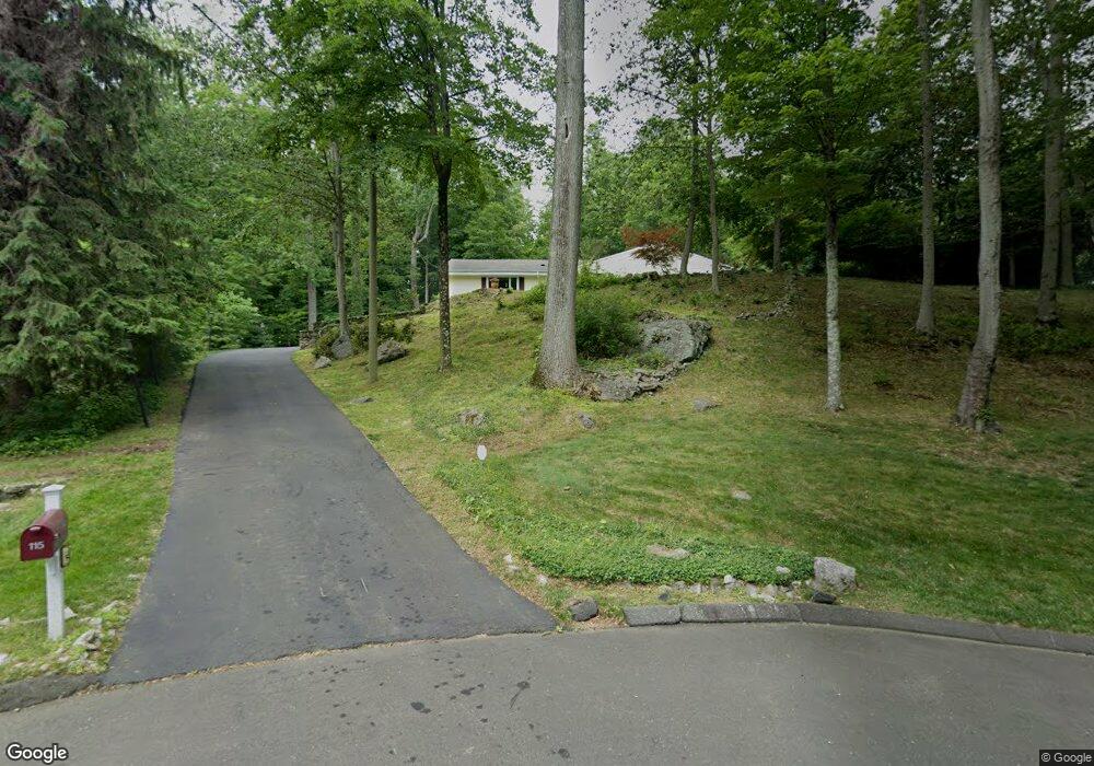
115 Tall Oaks Rd Stamford, CT 06903
North Stamford NeighborhoodEstimated Value: $1,058,092 - $1,267,000
5
Beds
3
Baths
3,142
Sq Ft
$369/Sq Ft
Est. Value
About This Home
This home is located at 115 Tall Oaks Rd, Stamford, CT 06903 and is currently estimated at $1,159,523, approximately $369 per square foot. 115 Tall Oaks Rd is a home located in Fairfield County with nearby schools including Roxbury School, Cloonan School, and Westhill High School.
Ownership History
Date
Name
Owned For
Owner Type
Purchase Details
Closed on
Apr 26, 2011
Sold by
Martinelli Donald and Mattinelli Karen L
Bought by
Hallen Mark and Hallen Barbara F
Current Estimated Value
Home Financials for this Owner
Home Financials are based on the most recent Mortgage that was taken out on this home.
Original Mortgage
$497,000
Outstanding Balance
$192,783
Interest Rate
4.9%
Estimated Equity
$966,740
Purchase Details
Closed on
Dec 11, 2001
Sold by
Hasson Elizabeth M
Bought by
Martinelli Donald and Martinelli Karen L
Create a Home Valuation Report for This Property
The Home Valuation Report is an in-depth analysis detailing your home's value as well as a comparison with similar homes in the area
Home Values in the Area
Average Home Value in this Area
Purchase History
| Date | Buyer | Sale Price | Title Company |
|---|---|---|---|
| Hallen Mark | $710,000 | -- | |
| Martinelli Donald | $470,000 | -- |
Source: Public Records
Mortgage History
| Date | Status | Borrower | Loan Amount |
|---|---|---|---|
| Open | Martinelli Donald | $497,000 | |
| Previous Owner | Martinelli Donald | $566,900 | |
| Previous Owner | Martinelli Donald | $80,000 | |
| Previous Owner | Martinelli Donald | $430,000 |
Source: Public Records
Tax History Compared to Growth
Tax History
| Year | Tax Paid | Tax Assessment Tax Assessment Total Assessment is a certain percentage of the fair market value that is determined by local assessors to be the total taxable value of land and additions on the property. | Land | Improvement |
|---|---|---|---|---|
| 2025 | $12,336 | $530,130 | $256,870 | $273,260 |
| 2024 | $12,066 | $530,130 | $256,870 | $273,260 |
| 2023 | $12,967 | $530,130 | $256,870 | $273,260 |
| 2022 | $11,137 | $422,990 | $195,260 | $227,730 |
| 2021 | $10,985 | $422,990 | $195,260 | $227,730 |
| 2020 | $10,714 | $422,990 | $195,260 | $227,730 |
| 2019 | $10,714 | $422,990 | $195,260 | $227,730 |
| 2018 | $10,342 | $422,990 | $195,260 | $227,730 |
| 2017 | $11,100 | $433,750 | $218,990 | $214,760 |
| 2016 | $10,766 | $433,750 | $218,990 | $214,760 |
| 2015 | $10,471 | $433,750 | $218,990 | $214,760 |
| 2014 | $10,111 | $433,750 | $218,990 | $214,760 |
Source: Public Records
Map
Nearby Homes
- 401 Wildwood Rd
- 150 Wildwood Rd
- 21 S Brook Dr
- 25 Mill Stone Cir
- Lot #21 S Brook Dr
- Lot #5 S Brook Dr
- 0 S Brook Dr Unit 170552650
- 110 Erskine Rd
- 77 Fox Glen Dr
- 43 Mill Rd
- 271 Hunting Ridge Rd
- 95 Foxwood Rd
- 494 Sawmill Rd
- 30 Partridge Rd
- 30 Dulan Dr
- 27 Wellington Dr
- 81 Fox Ridge Rd
- 52 Mill Spring Ln
- 279 E Middle Patent Rd
- 198 E Middle Patent Rd
- 125 Tall Oaks Rd
- 10 Tall Oaks Rd
- 118 Tall Oaks Rd
- 10 Tall Oaks Ct
- 572 Erskine Rd
- 18 Tall Oaks Ct
- 622 Erskine Rd
- 106 Tall Oaks Rd
- 548 Erskine Rd
- 64 Round Hill Dr
- 68 Tall Oaks Rd
- 38 Tall Oaks Ct
- 68 Round Hill Dr
- 678 Erskine Rd
- 55 Tall Oaks Ct
- 60 Round Hill Dr
- 1360 Riverbank Rd
- 1372 Riverbank Rd
- 60 Tall Oaks Ct
- 1392 Riverbank Rd