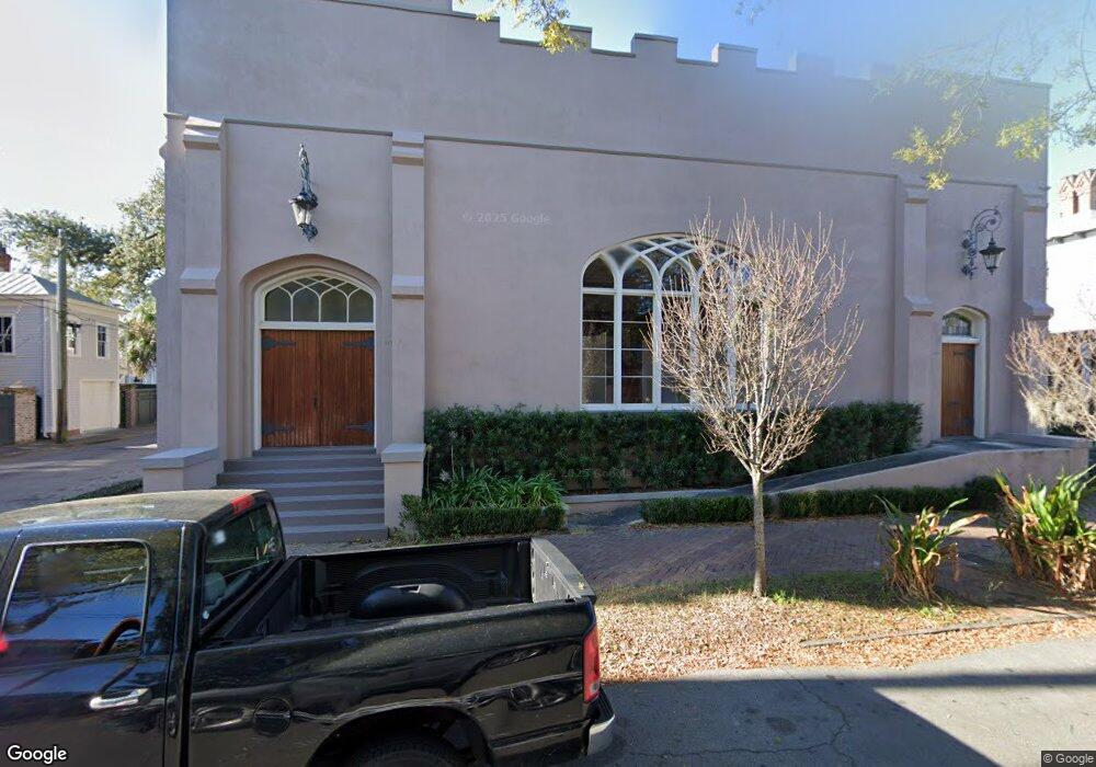
115 W Bolton St Savannah, GA 31401
Historic Savannah NeighborhoodEstimated Value: $1,609,693
4
Beds
2
Baths
6,624
Sq Ft
$243/Sq Ft
Est. Value
About This Home
This home is located at 115 W Bolton St, Savannah, GA 31401 and is currently estimated at $1,609,693, approximately $243 per square foot. 115 W Bolton St is a home located in Chatham County with nearby schools including Gadsden Elementary School, Derenne Middle School, and Beach High School.
Ownership History
Date
Name
Owned For
Owner Type
Purchase Details
Closed on
Jan 21, 2025
Sold by
Ralston College Inc
Bought by
115 West Bolton Street Llc
Current Estimated Value
Purchase Details
Closed on
Sep 15, 2023
Sold by
Sottile Christian
Bought by
Ralston College Inc
Purchase Details
Closed on
Mar 20, 2018
Sold by
Greater Friendship Baptist
Bought by
Sottile Christian
Purchase Details
Closed on
Dec 23, 2009
Sold by
Greater Friendship Baptist
Bought by
Greater Friendship Baptist Chu
Create a Home Valuation Report for This Property
The Home Valuation Report is an in-depth analysis detailing your home's value as well as a comparison with similar homes in the area
Home Values in the Area
Average Home Value in this Area
Purchase History
| Date | Buyer | Sale Price | Title Company |
|---|---|---|---|
| 115 West Bolton Street Llc | $1,650,000 | -- | |
| Ralston College Inc | $2,200,000 | -- | |
| Sottile Christian | $625,000 | -- | |
| Greater Friendship Baptist Chu | -- | -- |
Source: Public Records
Tax History Compared to Growth
Tax History
| Year | Tax Paid | Tax Assessment Tax Assessment Total Assessment is a certain percentage of the fair market value that is determined by local assessors to be the total taxable value of land and additions on the property. | Land | Improvement |
|---|---|---|---|---|
| 2025 | $5,145 | $182,680 | $48,320 | $134,360 |
| 2024 | $5,145 | $194,120 | $48,320 | $145,800 |
| 2023 | $2,201 | $210,080 | $48,320 | $161,760 |
| 2022 | $2,201 | $180,400 | $48,320 | $132,080 |
| 2021 | $7,170 | $171,560 | $48,320 | $123,240 |
| 2020 | $5,896 | $186,720 | $48,320 | $138,400 |
| 2019 | $5,896 | $186,720 | $48,320 | $138,400 |
| 2018 | $0 | $88,512 | $5,480 | $83,032 |
| 2017 | $0 | $88,512 | $5,480 | $83,032 |
| 2016 | -- | $88,512 | $5,480 | $83,032 |
| 2015 | -- | $88,512 | $5,480 | $83,032 |
| 2014 | -- | $88,512 | $0 | $0 |
Source: Public Records
Map
Nearby Homes
- 214 W Waldburg St
- 114 W Bolton St
- 109 W Bolton St Unit A
- 121 W Park Ave Unit 1
- 123 W Park Ave Unit 2
- 106 W Gwinnett St Unit 4F
- 106 W Gwinnett St Unit G3
- 1805 / 1807 Montgomery St
- 213 W Duffy St
- 612 Barnard St
- 216 W Henry St
- 212 W Huntingdon St
- 2603 Drayton St
- 818 Drayton St
- 808 Drayton St
- 1313 Whitaker St
- 528 Martin Luther King Junior Blvd
- 1321 Jefferson St
- 205 W Gaston St
- 109 E Park Ave Unit C
- 909 Howard St
- 121 W Bolton St
- 109 W Bolton St Unit C
- 109 W Bolton St Unit B
- 109 W Bolton St
- 906 Barnard St
- 107 W Bolton St
- 910 Barnard St
- 105 W Bolton St
- 0 Howard St
- 820 Barnard St
- 818 Barnard St
- 827 Howard St
- 0 W Bolton St
- 116 W Bolton St
- 116 W Waldburg St
- 907 Whitaker St
- 901 Whitaker St
- 905 Whitaker St
- 112 W Waldburg St Unit 112