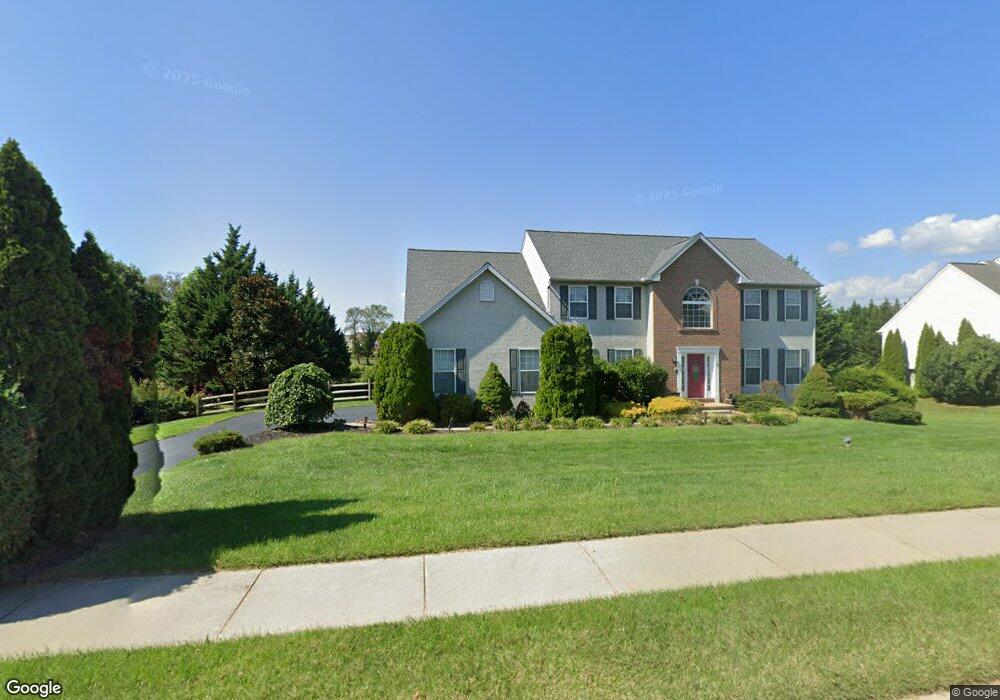
115 W Harvest Dr New Castle, DE 19720
Kirkwood NeighborhoodEstimated Value: $659,000 - $683,839
4
Beds
4
Baths
3,425
Sq Ft
$196/Sq Ft
Est. Value
About This Home
This home is located at 115 W Harvest Dr, New Castle, DE 19720 and is currently estimated at $671,460, approximately $196 per square foot. 115 W Harvest Dr is a home located in New Castle County with nearby schools including Southern Elementary School, Gunning Bedford Middle School, and Aquinas Academy.
Ownership History
Date
Name
Owned For
Owner Type
Purchase Details
Closed on
Jan 17, 2001
Sold by
Intersect Development Inc
Bought by
Abrams Earl C and Abrams Dorothy E
Current Estimated Value
Home Financials for this Owner
Home Financials are based on the most recent Mortgage that was taken out on this home.
Original Mortgage
$150,000
Interest Rate
6.96%
Create a Home Valuation Report for This Property
The Home Valuation Report is an in-depth analysis detailing your home's value as well as a comparison with similar homes in the area
Home Values in the Area
Average Home Value in this Area
Purchase History
| Date | Buyer | Sale Price | Title Company |
|---|---|---|---|
| Abrams Earl C | $258,747 | -- |
Source: Public Records
Mortgage History
| Date | Status | Borrower | Loan Amount |
|---|---|---|---|
| Previous Owner | Abrams Earl C | $150,000 |
Source: Public Records
Tax History Compared to Growth
Tax History
| Year | Tax Paid | Tax Assessment Tax Assessment Total Assessment is a certain percentage of the fair market value that is determined by local assessors to be the total taxable value of land and additions on the property. | Land | Improvement |
|---|---|---|---|---|
| 2024 | $4,452 | $126,200 | $16,100 | $110,100 |
| 2023 | $4,075 | $126,200 | $16,100 | $110,100 |
| 2022 | $4,241 | $126,200 | $16,100 | $110,100 |
| 2021 | $4,239 | $126,200 | $16,100 | $110,100 |
| 2020 | $4,265 | $126,200 | $16,100 | $110,100 |
| 2019 | $4,258 | $126,200 | $16,100 | $110,100 |
| 2018 | $4,198 | $126,200 | $16,100 | $110,100 |
| 2017 | $3,937 | $126,200 | $16,100 | $110,100 |
| 2016 | $3,515 | $126,200 | $16,100 | $110,100 |
| 2015 | $3,516 | $126,200 | $16,100 | $110,100 |
| 2014 | $3,535 | $126,200 | $16,100 | $110,100 |
Source: Public Records
Map
Nearby Homes
- 1119 Casey Dr
- 1049 Matthew Way
- 1225 Caitlin Way
- 31 Crestpoint Dr
- 6 Delaware St
- 2159 Mccoy Rd
- 1902 Mccoy Rd
- 402 Derrytown Dr
- 4010 Kirkwood Saint Georges Rd
- 102 Parker Dr
- 35 N Dragon Dr
- 300 Fenn Ct
- 348 Starboard Dr
- 8 Tamar Ct
- 319 Pheasant Dr
- 121 Willow Oak Blvd
- 210 Olivia Way
- 325 Howell School Rd
- 616 Clifton Dr
- 1011 Stuyvesant St
- 117 W Harvest Dr
- 113 W Harvest Dr
- 119 W Harvest Dr
- 114 W Harvest Dr
- 112 W Harvest Dr
- 116 W Harvest Dr
- 118 W Harvest Dr
- 121 W Harvest Dr
- 995 Cox Neck Rd
- 111 W Harvest Dr
- 110 W Harvest Dr
- 120 W Harvest Dr
- 504 Clubhouse Ct
- 303 Wheatsheaf Dr
- 305 Wheatsheaf Dr
- 123 W Harvest Dr
- 604 Highpointe Dr
- 109 W Harvest Dr
- 307 Wheatsheaf Dr
- 502 Clubhouse Ct