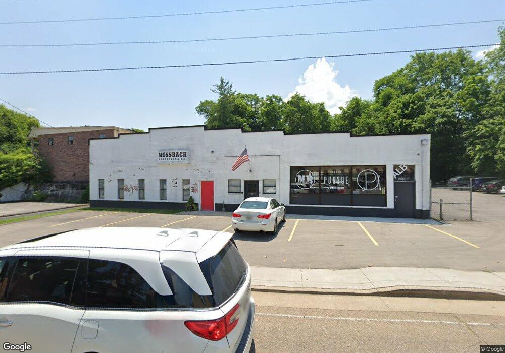
115 W Old Andrew Johnson Hwy Jefferson City, TN 37760
Estimated Value: $462,489
--
Bed
1
Bath
6,196
Sq Ft
$75/Sq Ft
Est. Value
About This Home
This home is located at 115 W Old Andrew Johnson Hwy, Jefferson City, TN 37760 and is currently estimated at $462,489, approximately $74 per square foot. 115 W Old Andrew Johnson Hwy is a home located in Jefferson County with nearby schools including Jefferson Montessori School and Heritage Christian Academy.
Ownership History
Date
Name
Owned For
Owner Type
Purchase Details
Closed on
Dec 1, 2005
Bought by
Vaughn David W %Ashton Britt Service Co
Current Estimated Value
Purchase Details
Closed on
May 8, 1998
Sold by
Appalachian Electric
Bought by
Michael Shumard
Purchase Details
Closed on
Mar 21, 1979
Bought by
Appalachian Electric Cooperative
Purchase Details
Closed on
Nov 30, 1978
Purchase Details
Closed on
Aug 30, 1948
Purchase Details
Closed on
Apr 5, 1946
Create a Home Valuation Report for This Property
The Home Valuation Report is an in-depth analysis detailing your home's value as well as a comparison with similar homes in the area
Home Values in the Area
Average Home Value in this Area
Purchase History
| Date | Buyer | Sale Price | Title Company |
|---|---|---|---|
| Vaughn David W %Ashton Britt Service Co | $155,000 | -- | |
| Michael Shumard | $105,000 | -- | |
| Appalachian Electric Cooperative | -- | -- | |
| -- | -- | -- | |
| -- | -- | -- | |
| -- | -- | -- |
Source: Public Records
Tax History Compared to Growth
Tax History
| Year | Tax Paid | Tax Assessment Tax Assessment Total Assessment is a certain percentage of the fair market value that is determined by local assessors to be the total taxable value of land and additions on the property. | Land | Improvement |
|---|---|---|---|---|
| 2025 | $885 | $73,760 | $12,520 | $61,240 |
| 2023 | $2,293 | $65,520 | $0 | $0 |
| 2022 | $2,221 | $65,520 | $8,520 | $57,000 |
| 2021 | $2,221 | $65,520 | $8,520 | $57,000 |
| 2020 | $2,221 | $65,520 | $8,520 | $57,000 |
| 2019 | $2,221 | $65,520 | $8,520 | $57,000 |
| 2018 | $2,175 | $61,280 | $16,560 | $44,720 |
| 2017 | $2,175 | $61,280 | $16,560 | $44,720 |
| 2016 | $2,175 | $61,280 | $16,560 | $44,720 |
| 2015 | $2,145 | $61,280 | $16,560 | $44,720 |
| 2014 | $2,114 | $61,280 | $16,560 | $44,720 |
Source: Public Records
Map
Nearby Homes
- 1905 Walnut Ave
- 1916 N Sizer Ave
- 903 Julianne Dr
- 902 N College St
- 796 Forgety Rd
- 2028 N Sizer Ave
- 1825 Burnette Ave
- 807 E Ellis St
- 724 E Jefferson St
- 1819 Brookline Ct
- 409 Clearbrook Dr
- 819 Navajo Dr
- 1405 Odell Ave
- 431 Clearbrook Dr
- 848 Navajo Dr
- 1215 George Ave
- 179 Lakeshore Bay Dr
- 178 Lakeshore Bay Dr
- 182 Lakeshore Bay Dr
- 174 Lakeshore Bay Dr
- 712 W Deborah St
- 716 W Deborah St
- 126 W Old Andrew Johnson Hwy
- 1729 Russell Ave
- 122 E Old Andrew Johnson Hwy
- 124 W Old Andrew Johnson Hwy
- 124 W Old A J Hwy
- 720 W Deborah St
- 1725 Russell Ave
- 708 W Deborah St
- 129 W Old Andrew Johnson Hwy
- 1731 Russell Ave
- 1731 Russell Ave Unit 2
- 1731 Russell Ave Unit 6
- 1731 Russell Ave Unit 1
- 724 W Deborah St
- 1721 Russell Ave
- 711 W Deborah St
- 104 W Old Andrew Johnson Hwy
- 707 W Deborah St