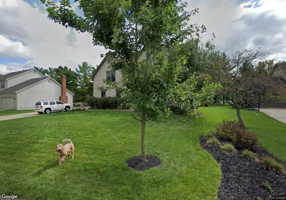
115 Wallsend Ct Powell, OH 43065
Liberty Township NeighborhoodEstimated Value: $598,000 - $735,000
4
Beds
4
Baths
3,854
Sq Ft
$179/Sq Ft
Est. Value
About This Home
This home is located at 115 Wallsend Ct, Powell, OH 43065 and is currently estimated at $688,100, approximately $178 per square foot. 115 Wallsend Ct is a home located in Delaware County with nearby schools including Tyler Run Elementary School, Olentangy Liberty Middle School, and Olentangy Liberty High School.
Ownership History
Date
Name
Owned For
Owner Type
Purchase Details
Closed on
May 10, 2002
Sold by
Autumnwood Homes Inc
Bought by
Rivard Nathan K and Rivard Traci L
Current Estimated Value
Home Financials for this Owner
Home Financials are based on the most recent Mortgage that was taken out on this home.
Original Mortgage
$35,535
Outstanding Balance
$15,332
Interest Rate
7.24%
Mortgage Type
New Conventional
Estimated Equity
$672,768
Create a Home Valuation Report for This Property
The Home Valuation Report is an in-depth analysis detailing your home's value as well as a comparison with similar homes in the area
Home Values in the Area
Average Home Value in this Area
Purchase History
| Date | Buyer | Sale Price | Title Company |
|---|---|---|---|
| Rivard Nathan K | $55,200 | -- |
Source: Public Records
Mortgage History
| Date | Status | Borrower | Loan Amount |
|---|---|---|---|
| Open | Rivard Nathan K | $35,535 |
Source: Public Records
Tax History Compared to Growth
Tax History
| Year | Tax Paid | Tax Assessment Tax Assessment Total Assessment is a certain percentage of the fair market value that is determined by local assessors to be the total taxable value of land and additions on the property. | Land | Improvement |
|---|---|---|---|---|
| 2024 | $11,310 | $215,850 | $36,580 | $179,270 |
| 2023 | $11,354 | $215,850 | $36,580 | $179,270 |
| 2022 | $10,925 | $164,680 | $24,500 | $140,180 |
| 2021 | $11,113 | $164,680 | $24,500 | $140,180 |
| 2020 | $11,153 | $164,680 | $24,500 | $140,180 |
| 2019 | $9,560 | $146,410 | $24,500 | $121,910 |
| 2018 | $9,671 | $146,410 | $24,500 | $121,910 |
| 2017 | $9,738 | $136,640 | $20,370 | $116,270 |
| 2016 | $9,684 | $136,640 | $20,370 | $116,270 |
| 2015 | $8,812 | $136,640 | $20,370 | $116,270 |
| 2014 | $8,930 | $136,640 | $20,370 | $116,270 |
| 2013 | $8,912 | $133,250 | $20,370 | $112,880 |
Source: Public Records
Map
Nearby Homes
- 1937 Liberty St
- 2020 Liberty St
- 120 S Liberty St
- 55 Timber Oak Ct
- 274 Stamford Dr
- 6615 Scioto St
- 6583 Scioto St
- 6601 Scioto St
- 6555 Scioto St
- 91 Tiller Dr
- 92 Barrington Place
- 87 Murphys Oval Unit N87
- 261 Andover Dr
- 11 Murphys View Place
- 170 Barrington Place
- 110 Encore Park Bend
- Irving Plan at Encore Park of Powell - Uptown Collection
- Oakley Plan at Encore Park of Powell - Uptown Collection
- 114 Encore Park Bend
- 67 Traditions Way
- 125 Wallsend Ct
- 105 Wallsend Ct
- 135 Wallsend Ct
- 110 Wallsend Ct
- 95 Wallsend Ct
- 120 Wallsend Ct
- 100 Wallsend Ct
- 143 Wallsend Ct
- 130 Wallsend Ct
- 1164 Wallsend Ct
- 90 Wallsend Ct
- 142 Wallsend Ct
- 155 Wallsend Ct
- 286 S Liberty St
- 152 Wallsend Ct
- 167 Wallsend Ct
- 139 Whitegate Ct
- 164 Wallsend Ct
- 259 Oquinn Ct
- 140 Whitegate Ct