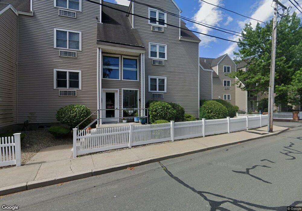
115 Water St Unit 19 Beverly, MA 01915
Downtown Beverly NeighborhoodEstimated Value: $387,038 - $451,000
1
Bed
1
Bath
681
Sq Ft
$615/Sq Ft
Est. Value
About This Home
This home is located at 115 Water St Unit 19, Beverly, MA 01915 and is currently estimated at $418,510, approximately $614 per square foot. 115 Water St Unit 19 is a home located in Essex County with nearby schools including Beverly High School, Salem Academy Charter School, and Mrs Alexander's School.
Ownership History
Date
Name
Owned For
Owner Type
Purchase Details
Closed on
Jul 9, 1997
Sold by
Caulfield Marian W
Bought by
Valiveti Vinod K
Current Estimated Value
Home Financials for this Owner
Home Financials are based on the most recent Mortgage that was taken out on this home.
Original Mortgage
$73,400
Outstanding Balance
$10,855
Interest Rate
7.86%
Mortgage Type
Purchase Money Mortgage
Estimated Equity
$407,655
Create a Home Valuation Report for This Property
The Home Valuation Report is an in-depth analysis detailing your home's value as well as a comparison with similar homes in the area
Home Values in the Area
Average Home Value in this Area
Purchase History
| Date | Buyer | Sale Price | Title Company |
|---|---|---|---|
| Valiveti Vinod K | $91,750 | -- |
Source: Public Records
Mortgage History
| Date | Status | Borrower | Loan Amount |
|---|---|---|---|
| Open | Valiveti Vinod K | $73,400 |
Source: Public Records
Tax History Compared to Growth
Tax History
| Year | Tax Paid | Tax Assessment Tax Assessment Total Assessment is a certain percentage of the fair market value that is determined by local assessors to be the total taxable value of land and additions on the property. | Land | Improvement |
|---|---|---|---|---|
| 2025 | $3,600 | $327,600 | $0 | $327,600 |
| 2024 | $3,495 | $311,200 | $0 | $311,200 |
| 2023 | $3,343 | $296,900 | $0 | $296,900 |
| 2022 | $3,454 | $283,800 | $0 | $283,800 |
| 2021 | $3,377 | $265,900 | $0 | $265,900 |
| 2020 | $3,361 | $262,000 | $0 | $262,000 |
| 2019 | $3,256 | $246,500 | $0 | $246,500 |
| 2018 | $2,936 | $215,900 | $0 | $215,900 |
| 2017 | $2,827 | $198,000 | $0 | $198,000 |
| 2016 | $2,622 | $182,200 | $0 | $182,200 |
| 2015 | $2,458 | $174,200 | $0 | $174,200 |
Source: Public Records
Map
Nearby Homes
- 7 Lothrop St
- 40 & 40R Stone St
- 61 Front St Unit B
- 117 Water St Unit 28
- 57 Front St Unit 1
- 4 Fayette St
- 18 Rantoul St
- 21 Summit Ave Unit 2
- 60 Rantoul St Unit 711N
- 15 Thorndike St
- 29 Railroad Ave
- 19 Pond St
- The Cabot Collection
- 315 Rantoul St Unit 402
- 135 Fort Ave
- 12 Planters St
- 00 Folger Ave
- 16 Marion Ave
- 26 Columbus Ave
- 30 Settlers Way Unit 30
- 115 Water St Unit 20
- 115 Water St Unit 18
- 115 Water St Unit 17
- 115 Water St Unit 16
- 115 Water St Unit 15
- 115 Water St Unit 14
- 115 Water St Unit 13
- 115 Water St Unit 13,115
- 115 Water St Unit 2
- 115 Water St Unit 14/115
- 115 Water St Unit 17 115
- 115 Water St Unit 115 14
- 113 Water St Unit 79
- 113 Water St Unit 78
- 113 Water St Unit 77
- 113 Water St Unit 76
- 113 Water St Unit 75
- 113 Water St Unit 74
- 113 Water St Unit 73
- 113 Water St Unit 72