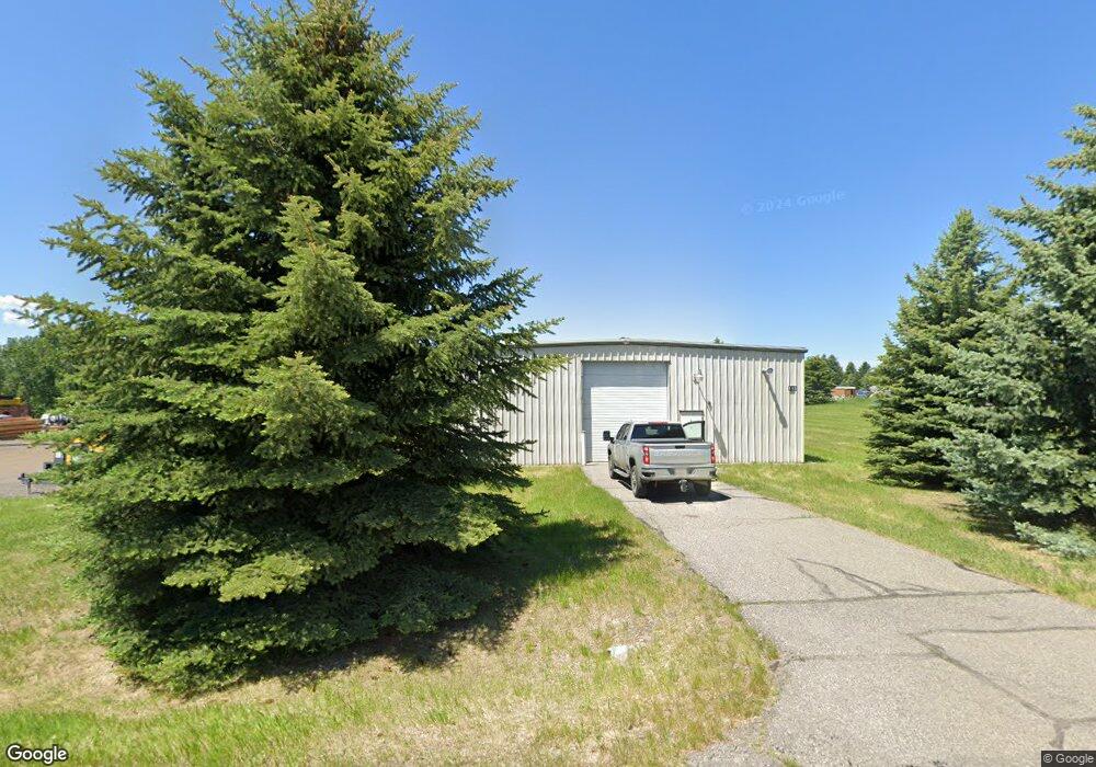
115 Wildcat Way Bozeman, MT 59718
Four Corners NeighborhoodEstimated Value: $735,481
Studio
--
Bath
5,000
Sq Ft
$147/Sq Ft
Est. Value
About This Home
This home is located at 115 Wildcat Way, Bozeman, MT 59718 and is currently estimated at $735,481, approximately $147 per square foot. 115 Wildcat Way is a home located in Gallatin County with nearby schools including Monforton Primary School, Monforton Elementary School, and Monforton Junior High School.
Ownership History
Date
Name
Owned For
Owner Type
Purchase Details
Closed on
Nov 14, 2016
Sold by
F W Investments Llc
Bought by
Faith Llc
Current Estimated Value
Home Financials for this Owner
Home Financials are based on the most recent Mortgage that was taken out on this home.
Original Mortgage
$309,375
Outstanding Balance
$198,200
Interest Rate
3.42%
Mortgage Type
Future Advance Clause Open End Mortgage
Estimated Equity
$537,281
Create a Home Valuation Report for This Property
The Home Valuation Report is an in-depth analysis detailing your home's value as well as a comparison with similar homes in the area
Home Values in the Area
Average Home Value in this Area
Purchase History
| Date | Buyer | Sale Price | Title Company |
|---|---|---|---|
| Faith Llc | -- | Security Title Company |
Source: Public Records
Mortgage History
| Date | Status | Borrower | Loan Amount |
|---|---|---|---|
| Open | Faith Llc | $309,375 |
Source: Public Records
Tax History
| Year | Tax Paid | Tax Assessment Tax Assessment Total Assessment is a certain percentage of the fair market value that is determined by local assessors to be the total taxable value of land and additions on the property. | Land | Improvement |
|---|---|---|---|---|
| 2025 | $4,215 | $644,100 | $0 | $0 |
| 2024 | $4,518 | $605,700 | $0 | $0 |
| 2023 | $4,349 | $605,700 | $0 | $0 |
| 2022 | $4,605 | $480,000 | $0 | $0 |
| 2021 | $5,167 | $480,000 | $0 | $0 |
| 2020 | $4,621 | $424,900 | $0 | $0 |
| 2019 | $4,563 | $424,900 | $0 | $0 |
| 2018 | $4,839 | $408,500 | $0 | $0 |
| 2017 | $4,416 | $408,500 | $0 | $0 |
| 2016 | $3,005 | $257,200 | $0 | $0 |
| 2015 | $2,430 | $220,300 | $0 | $0 |
| 2014 | $2,606 | $200,254 | $0 | $0 |
Source: Public Records
Map
Nearby Homes
- TBD Elk Ln
- 196 Arrow Peak Ct
- 8404 Huffine Ln
- 1391 Cobb Hill Rd
- 138 Albrey Trail Unit C
- 89 Red Rock Ct
- 127 Albrey Trail Unit B
- 604 Talon Way
- 24 Red Rock Ct
- TBD W Haley Springs Rd
- 449 Rowland Rd
- 569 Rowland Rd
- TBD Dovetail Ln
- 382 Talon Way
- 51 Schutz Ln
- 254 Pattee Trail
- 189 Noble Peak Dr
- 171 Brave Heart Loop
- 31 Lady Bug Ln
- TBD Delano Dr
- 157 Wildcat Way
- 114 Wildcat Way
- TBD Wildcat Way
- 78 Wildcat Way
- Lot 11 Wildcat Way
- Lot11 Wildcat Way
- 34 Wildcat Way
- 0 Tbd Wildcat Way
- 8360 Calico Dr
- 6735 Calico Dr
- 6730 Tawney Brown Ln
- 6730 Tawny Brown Dr
- 6674 Maltese Ln
- 6746 Bighorn Ln
- 107 Zaide Ln
- TBD Calico and Falcon
- 8300 Calico Dr Unit 7
- 8300 Calico Dr Unit 6
- 8300 Calico Dr Unit D
- 8300 Calico Dr
Your Personal Tour Guide
Ask me questions while you tour the home.