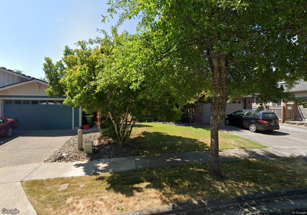
1150 33rd Ave Forest Grove, OR 97116
Estimated Value: $520,000 - $570,000
3
Beds
4
Baths
2,075
Sq Ft
$265/Sq Ft
Est. Value
About This Home
This home is located at 1150 33rd Ave, Forest Grove, OR 97116 and is currently estimated at $549,938, approximately $265 per square foot. 1150 33rd Ave is a home located in Washington County with nearby schools including Harvey Clarke Elementary School, Tom McCall Upper Elementary School, and Neil Armstrong Middle School.
Ownership History
Date
Name
Owned For
Owner Type
Purchase Details
Closed on
Jun 29, 1999
Sold by
Norse Woods/Hunter Glen Llc
Bought by
Gould Patrick L and Gould Dawn L
Current Estimated Value
Home Financials for this Owner
Home Financials are based on the most recent Mortgage that was taken out on this home.
Original Mortgage
$130,000
Outstanding Balance
$40,892
Interest Rate
7.2%
Estimated Equity
$509,046
Create a Home Valuation Report for This Property
The Home Valuation Report is an in-depth analysis detailing your home's value as well as a comparison with similar homes in the area
Home Values in the Area
Average Home Value in this Area
Purchase History
| Date | Buyer | Sale Price | Title Company |
|---|---|---|---|
| Gould Patrick L | $52,450 | Fidelity National Title Co |
Source: Public Records
Mortgage History
| Date | Status | Borrower | Loan Amount |
|---|---|---|---|
| Open | Gould Patrick L | $130,000 |
Source: Public Records
Tax History Compared to Growth
Tax History
| Year | Tax Paid | Tax Assessment Tax Assessment Total Assessment is a certain percentage of the fair market value that is determined by local assessors to be the total taxable value of land and additions on the property. | Land | Improvement |
|---|---|---|---|---|
| 2026 | $6,028 | $338,530 | -- | -- |
| 2025 | $6,028 | $328,670 | -- | -- |
| 2024 | $5,816 | $319,100 | -- | -- |
| 2023 | $5,816 | $309,810 | $0 | $0 |
| 2022 | $5,085 | $309,810 | $0 | $0 |
| 2021 | $5,019 | $292,030 | $0 | $0 |
| 2020 | $4,992 | $283,530 | $0 | $0 |
| 2019 | $4,881 | $275,280 | $0 | $0 |
| 2018 | $4,731 | $267,270 | $0 | $0 |
| 2017 | $4,585 | $259,490 | $0 | $0 |
| 2016 | $4,456 | $251,940 | $0 | $0 |
| 2015 | $4,285 | $244,610 | $0 | $0 |
| 2014 | $4,264 | $237,490 | $0 | $0 |
Source: Public Records
Map
Nearby Homes
- 1224 Alyssum Ave
- 922 Rosebud Ct
- 1219 34th Place
- 918 Rosebud Ct
- 3317 Butte Dr
- 3309 Butte Dr
- 507-FH Plan at Parkview Terrace
- 504-STD Plan at Parkview Terrace
- Poppy - Plan 308C at Parkview Terrace
- 430A Plan at Parkview Terrace
- Plan 400 at Parkview Terrace
- 506-FH Plan at Parkview Terrace
- Plan 325 at Parkview Terrace
- 505-STD Plan at Parkview Terrace
- 508-MFH Plan at Parkview Terrace
- 3245 Butte Dr
- 504-FH Plan at Parkview Terrace
- 506-STD Plan at Parkview Terrace
- 322 MFH 3 Plan at Parkview Terrace
- 308 C Plan at Parkview Terrace