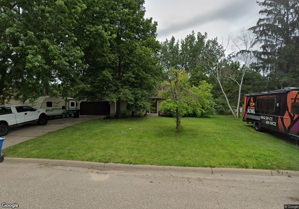
11500 133rd Ave N Dayton, MN 55327
Estimated Value: $390,797 - $425,000
3
Beds
2
Baths
1,403
Sq Ft
$290/Sq Ft
Est. Value
About This Home
This home is located at 11500 133rd Ave N, Dayton, MN 55327 and is currently estimated at $406,949, approximately $290 per square foot. 11500 133rd Ave N is a home located in Hennepin County with nearby schools including Dayton Elementary School, Jackson Middle School, and Champlin Park High School.
Ownership History
Date
Name
Owned For
Owner Type
Purchase Details
Closed on
Feb 1, 2023
Sold by
Parke Deborah A and Wold Roger J
Bought by
Parke Deborah A and Wold Roger J
Current Estimated Value
Purchase Details
Closed on
Oct 18, 2016
Sold by
Rockman Paul S and Rockman Regina
Bought by
Parke Deborah A
Home Financials for this Owner
Home Financials are based on the most recent Mortgage that was taken out on this home.
Original Mortgage
$223,250
Interest Rate
3.5%
Mortgage Type
New Conventional
Purchase Details
Closed on
Mar 22, 2002
Sold by
Routh Brian S and Routh Nicole M
Bought by
Rockman Paul
Purchase Details
Closed on
Aug 27, 1997
Sold by
Dempsey Kenneth Lee and Dempsey Danette L
Bought by
Routh Brian S and Routh Nicole M
Create a Home Valuation Report for This Property
The Home Valuation Report is an in-depth analysis detailing your home's value as well as a comparison with similar homes in the area
Home Values in the Area
Average Home Value in this Area
Purchase History
| Date | Buyer | Sale Price | Title Company |
|---|---|---|---|
| Parke Deborah A | -- | None Listed On Document | |
| Parke Deborah A | $235,000 | Edina Realty Title Inc | |
| Rockman Paul | $178,000 | -- | |
| Routh Brian S | $107,400 | -- |
Source: Public Records
Mortgage History
| Date | Status | Borrower | Loan Amount |
|---|---|---|---|
| Previous Owner | Parke Deborah A | $223,250 |
Source: Public Records
Tax History Compared to Growth
Tax History
| Year | Tax Paid | Tax Assessment Tax Assessment Total Assessment is a certain percentage of the fair market value that is determined by local assessors to be the total taxable value of land and additions on the property. | Land | Improvement |
|---|---|---|---|---|
| 2024 | $4,064 | $373,500 | $84,000 | $289,500 |
| 2023 | $4,092 | $372,500 | $80,000 | $292,500 |
| 2022 | $3,488 | $337,000 | $75,000 | $262,000 |
| 2021 | $3,508 | $273,000 | $58,000 | $215,000 |
| 2020 | $3,452 | $266,000 | $55,000 | $211,000 |
| 2019 | $3,597 | $251,000 | $45,000 | $206,000 |
| 2018 | $3,258 | $255,000 | $52,000 | $203,000 |
| 2017 | $2,942 | $214,000 | $40,000 | $174,000 |
| 2016 | $4,995 | $202,000 | $45,000 | $157,000 |
| 2015 | $4,830 | $186,000 | $39,000 | $147,000 |
| 2014 | -- | $167,000 | $39,000 | $128,000 |
Source: Public Records
Map
Nearby Homes
- 11841 132nd Ave N
- 13172 Deerwood Ln N
- 11505 Pineridge Way N
- 11186 Balsam Pointe Trail
- 11205 Balsam Pointe Trail
- 13451 Yorktown Ln N
- 11117 Balsam Pointe Trail
- 13611 Evergreen Ln N
- 11134 Balsam Pointe Trail
- 13348 Linwood Forest Cir
- 13217 Valley Forge Ln N
- XXXXX Jonquil Ln N
- 13217 Union Terrace Ln N
- 13041 Union Terrace Ln N
- 12816 Cedar Ridge Ln
- 12941 Saratoga Ln N
- 1102 Benton St
- 307 Sunrise Ln
- 1032 Fremont St
- 535 W River Pkwy
- 11420 133rd Ave N
- 11510 133rd Ave N
- 11501 134th Ave N
- 11421 134th Ave N
- 11511 134th Ave N
- 11421 134th Ave N
- 11410 133rd Ave N
- 11501 133rd Ave N
- 11421 133rd Ave N
- 11511 133rd Ave N
- 11411 134th Ave N
- 11411 133rd Ave N
- XXX 134th Ave N
- XXXX 134th Ave N
- 11400 133rd Ave N
- 11661 133rd Ave N
- XXXX 133rd Ave N
- 11401 134th Ave N
- 11401 134th Ave N
- 11661 134th Ave N