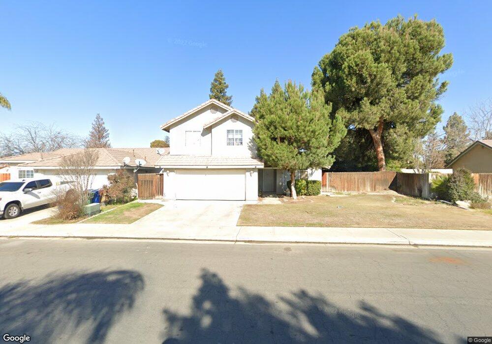
11500 Sagebrush Ave Bakersfield, CA 93312
Estimated Value: $346,000 - $405,000
About This Home
This home is located at 11500 Sagebrush Ave, Bakersfield, CA 93312 and is currently estimated at $384,015, approximately $479 per square foot. 11500 Sagebrush Ave is a home located in Kern County with nearby schools including Rosedale-North Elementary School, Freedom Middle School, and Centennial High School.
Ownership History
We collect this data history from publicly available records. To have your information removed, we recommend requesting removal directly through your county’s website.
Purchase Details
Home Financials for this Owner
Home Financials are based on the most recent Mortgage that was taken out on this home.Purchase Details
Home Financials for this Owner
Home Financials are based on the most recent Mortgage that was taken out on this home.Purchase Details
Home Financials for this Owner
Home Financials are based on the most recent Mortgage that was taken out on this home.Home Values in the Area
Average Home Value in this Area
Purchase History
We collect this data history from publicly available records. To have your information removed, we recommend requesting removal directly through your county’s website.
| Date | Buyer | Sale Price | Title Company |
|---|---|---|---|
| -- | First American Title | ||
| -- | First American Title | ||
| $116,000 | Commonwealth Land Title Co |
Mortgage History
We collect this data history from publicly available records. To have your information removed, we recommend requesting removal directly through your county’s website.
| Date | Status | Borrower | Loan Amount |
|---|---|---|---|
| Open | $148,000 | ||
| Closed | $114,724 | ||
| Closed | $18,500 |
Tax History
We collect this data history from publicly available records. To have your information removed, we recommend requesting removal directly through your county’s website.
| Year | Tax Paid | Tax Assessment Tax Assessment Total Assessment is a certain percentage of the fair market value that is determined by local assessors to be the total taxable value of land and additions on the property. | Land | Improvement |
|---|---|---|---|---|
| 2025 | $2,860 | $174,391 | $24,096 | $150,295 |
| 2024 | $2,860 | $170,973 | $23,624 | $147,349 |
| 2023 | $2,796 | $167,621 | $23,161 | $144,460 |
| 2022 | $2,717 | $164,335 | $22,707 | $141,628 |
| 2021 | $2,618 | $161,113 | $22,262 | $138,851 |
| 2020 | $2,561 | $159,462 | $22,034 | $137,428 |
| 2019 | $2,527 | $159,462 | $22,034 | $137,428 |
| 2018 | $2,454 | $153,272 | $21,179 | $132,093 |
| 2017 | $2,431 | $150,267 | $20,764 | $129,503 |
| 2016 | $2,214 | $147,321 | $20,357 | $126,964 |
| 2015 | $2,192 | $145,109 | $20,052 | $125,057 |
| 2014 | $2,147 | $142,268 | $19,660 | $122,608 |
Map
- 3122 Campfire Dr Unit 2
- 3125 Silver Spur Way
- 3110 Campfire Dr
- 3106 Campfire Dr Unit 2
- 3105 Silver Spur Way
- 3622 Azure Dr
- 11600 Whippoorwill Ln
- 11808 Lone Oak Dr
- 11618 Jimrik Ave
- 11513 Jenlee Ave
- 11601 Jenlee Ave
- 3524 Piedmont Ave
- 10906 Dee Ave
- 12022 Copernicus Ave Unit 4
- 3601 Piedmont Ave
- 11001 Aimee Way
- 11719 Hageman Rd
- 11519 Hannah Denise Ave
- 0 Fruitvale Snow Rd Unit 202602724
- 3845 Collier St
- 3306 Campfire Dr
- 3310 Campfire Dr
- 3302 Campfire Dr
- 3221 Ranchgate Dr
- 3301 Ranchgate Dr
- 3217 Ranchgate Dr
- 3314 Campfire Dr
- 3212 Campfire Dr
- 11602 Starlight Dr
- 3305 Ranchgate Dr
- 3213 Ranchgate Dr
- 11601 Sagebrush Ave
- 8636 Sagebrush Ave
- 8612 Sagebrush Ave
- 3208 Campfire Dr
- 11606 Starlight Dr
- 3209 Ranchgate Dr
- 3209 Campfire Dr
- 11605 Sagebrush Ave
- 3300 Ranchgate Dr Unit A
Ask me questions while you tour the home.