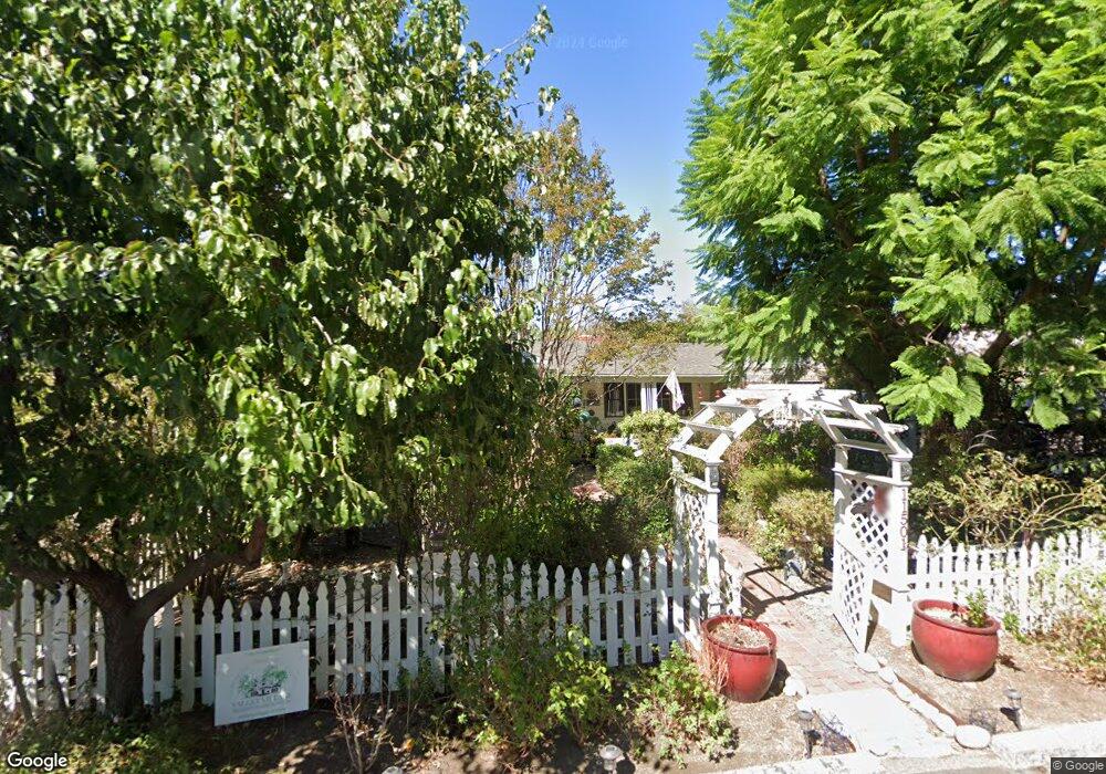
11501 Huston St North Hollywood, CA 91601
Estimated Value: $1,303,000 - $1,764,000
2
Beds
2
Baths
1,611
Sq Ft
$950/Sq Ft
Est. Value
About This Home
This home is located at 11501 Huston St, North Hollywood, CA 91601 and is currently estimated at $1,530,264, approximately $949 per square foot. 11501 Huston St is a home located in Los Angeles County with nearby schools including Walter Reed Middle, North Hollywood Senior High School, and Colfax Charter Elementary School.
Ownership History
Date
Name
Owned For
Owner Type
Purchase Details
Closed on
Oct 1, 2003
Sold by
11501 Houston Street Partners
Bought by
Jackson Jon
Current Estimated Value
Home Financials for this Owner
Home Financials are based on the most recent Mortgage that was taken out on this home.
Original Mortgage
$322,700
Outstanding Balance
$147,796
Interest Rate
5.94%
Mortgage Type
Purchase Money Mortgage
Estimated Equity
$1,382,468
Create a Home Valuation Report for This Property
The Home Valuation Report is an in-depth analysis detailing your home's value as well as a comparison with similar homes in the area
Home Values in the Area
Average Home Value in this Area
Purchase History
| Date | Buyer | Sale Price | Title Company |
|---|---|---|---|
| Jackson Jon | -- | Commerce Title |
Source: Public Records
Mortgage History
| Date | Status | Borrower | Loan Amount |
|---|---|---|---|
| Open | Jackson Jon | $322,700 |
Source: Public Records
Tax History Compared to Growth
Tax History
| Year | Tax Paid | Tax Assessment Tax Assessment Total Assessment is a certain percentage of the fair market value that is determined by local assessors to be the total taxable value of land and additions on the property. | Land | Improvement |
|---|---|---|---|---|
| 2025 | $9,410 | $781,967 | $654,015 | $127,952 |
| 2024 | $9,410 | $766,636 | $641,192 | $125,444 |
| 2023 | $9,228 | $751,605 | $628,620 | $122,985 |
| 2022 | $8,798 | $736,869 | $616,295 | $120,574 |
| 2021 | $8,687 | $722,421 | $604,211 | $118,210 |
| 2019 | $8,425 | $700,995 | $586,291 | $114,704 |
| 2018 | $8,323 | $687,251 | $574,796 | $112,455 |
| 2016 | $7,948 | $660,566 | $552,477 | $108,089 |
| 2015 | $7,831 | $650,645 | $544,179 | $106,466 |
| 2014 | $7,859 | $637,901 | $533,520 | $104,381 |
Source: Public Records
Map
Nearby Homes
- 5003 Westpark Dr Unit 203
- 11559 La Maida St
- 11538 La Maida St
- 4807 Beck Ave Unit 4
- 11594 Morrison St
- 5075 Westpark Dr
- 11576 Otsego St
- 11323 Huston St Unit 1
- 11556 Blix St
- 4821 Bakman Ave Unit 201
- 4821 Bakman Ave Unit 405
- 11274 Morrison St Unit 2
- 4645 Farmdale Ave
- 11322 Camarillo St Unit 201
- 11322 Camarillo St Unit 204
- 11253 Peach Grove St Unit 102
- 11241 Peach Grove St
- 11734 Huston St
- 11230 Peach Grove St Unit 206
- 11746 La Maida St
- 11505 Huston St
- 11485 Huston St
- 4943 Westpark Dr
- 4953 Westpark Dr
- 11504 Morrison St
- 11481 Huston St
- 4935 Westpark Dr
- 11515 Huston St
- 11510 Morrison St
- 11500 Huston St
- 11506 Huston St
- 11488 Huston St
- 4929 Westpark Dr
- 11510 Huston St
- 11516 Morrison St
- 11476 Huston St
- 11516 Huston St
- 11522 Morrison St
- 4925 Westpark Dr
- 11531 Huston St