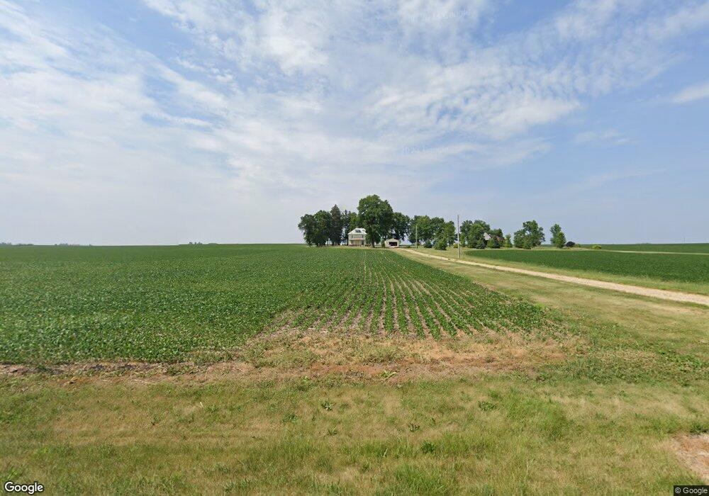
11504 W Lanark Rd Forreston, IL 61030
Estimated Value: $163,000 - $395,389
Studio
--
Bath
--
Sq Ft
3.18
Acres
About This Home
This home is located at 11504 W Lanark Rd, Forreston, IL 61030 and is currently estimated at $287,347. 11504 W Lanark Rd is a home located in Ogle County with nearby schools including Forreston High School.
Ownership History
Date
Name
Owned For
Owner Type
Purchase Details
Closed on
Jan 4, 2021
Sold by
Ranz Alan W and Ranz Mary Judi
Bought by
Ranz Theodore J and Ranz Julie
Current Estimated Value
Purchase Details
Closed on
Dec 2, 2020
Sold by
Ranz Alan W and Ranz Mary Judi
Bought by
Ranz Theodore J and Ranz Julie
Purchase Details
Closed on
Aug 9, 2006
Sold by
Sheaffer Velma M
Bought by
Ranz Alan W and Ranz Mary Judi
Create a Home Valuation Report for This Property
The Home Valuation Report is an in-depth analysis detailing your home's value as well as a comparison with similar homes in the area
Home Values in the Area
Average Home Value in this Area
Purchase History
| Date | Buyer | Sale Price | Title Company |
|---|---|---|---|
| Ranz Theodore J | -- | None Available | |
| Ranz Theodore J | -- | None Available | |
| Ranz Alan W | -- | None Available |
Source: Public Records
Tax History
| Year | Tax Paid | Tax Assessment Tax Assessment Total Assessment is a certain percentage of the fair market value that is determined by local assessors to be the total taxable value of land and additions on the property. | Land | Improvement |
|---|---|---|---|---|
| 2024 | $8,370 | $117,821 | $12,779 | $105,042 |
| 2023 | $4,314 | $63,727 | $11,920 | $51,807 |
| 2022 | $3,981 | $58,310 | $10,907 | $47,403 |
| 2021 | $3,717 | $54,242 | $10,146 | $44,096 |
| 2020 | $3,633 | $53,283 | $9,967 | $43,316 |
| 2019 | $4,004 | $51,111 | $9,561 | $41,550 |
| 2018 | $3,798 | $47,879 | $8,956 | $38,923 |
| 2017 | $3,710 | $45,787 | $8,565 | $37,222 |
| 2016 | $3,307 | $44,714 | $8,364 | $36,350 |
| 2015 | $3,162 | $43,837 | $8,200 | $35,637 |
| 2014 | $3,546 | $45,472 | $9,835 | $35,637 |
| 2013 | $3,538 | $44,940 | $11,729 | $33,211 |
Source: Public Records
Map
Nearby Homes
- 404 E Willow St
- 406 W Balsam St
- 304 Maple Ave
- 8976 N Main St
- 8282 W Oregon Trail Rd
- 310 N Fletcher Ave
- 503 W Center St
- 205 Sunset Ln
- 409 W Lincoln St
- 801 W Fulton St
- 108 N Wesley Ave
- 107 N Thomas Ave
- 503 E Mason St
- 501 E Colden St
- 516 E Buffalo St
- 302 S Prairie Ave
- 605 E Webster St
- 406 S Division Ave
- 406 S Congress Ave
- 10385 N Rock City Rd
Your Personal Tour Guide
Ask me questions while you tour the home.