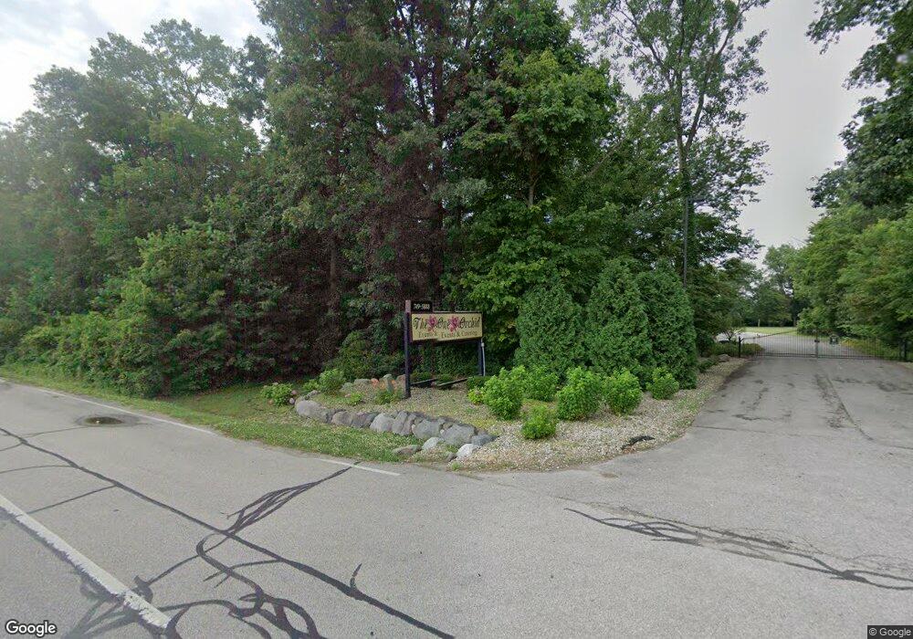
11508 Lincoln Hwy E New Haven, IN 46774
--
Bed
--
Bath
14,000
Sq Ft
25.58
Acres
About This Home
This home is located at 11508 Lincoln Hwy E, New Haven, IN 46774. 11508 Lincoln Hwy E is a home located in Allen County with nearby schools including New Haven Primary School, New Haven Intermediate School, and New Haven High School.
Ownership History
Date
Name
Owned For
Owner Type
Purchase Details
Closed on
Apr 25, 2025
Sold by
Eagle Property Holdings Llc
Bought by
Redmon Properties Llc
Purchase Details
Closed on
Dec 2, 2024
Sold by
Eagle Property Holdings Llc
Bought by
State Of Indiana
Purchase Details
Closed on
Dec 30, 2009
Sold by
Tower Bank & Trust Company
Bought by
Eagle Property Holdings Llc
Purchase Details
Closed on
Oct 25, 2007
Sold by
#3164 Haven Acrie
Bought by
Tower Bank & Trust Co
Create a Home Valuation Report for This Property
The Home Valuation Report is an in-depth analysis detailing your home's value as well as a comparison with similar homes in the area
Home Values in the Area
Average Home Value in this Area
Purchase History
| Date | Buyer | Sale Price | Title Company |
|---|---|---|---|
| Redmon Properties Llc | -- | Meridian Title | |
| State Of Indiana | -- | None Listed On Document | |
| State Of Indiana | $6,640 | None Listed On Document | |
| Eagle Property Holdings Llc | -- | None Available | |
| Tower Bank & Trust Co | -- | None Available |
Source: Public Records
Tax History Compared to Growth
Tax History
| Year | Tax Paid | Tax Assessment Tax Assessment Total Assessment is a certain percentage of the fair market value that is determined by local assessors to be the total taxable value of land and additions on the property. | Land | Improvement |
|---|---|---|---|---|
| 2024 | $10,141 | $414,300 | $109,900 | $304,400 |
| 2023 | $10,136 | $406,100 | $109,900 | $296,200 |
| 2022 | $9,217 | $371,500 | $117,200 | $254,300 |
| 2021 | $9,615 | $357,100 | $104,200 | $252,900 |
| 2020 | $11,296 | $427,700 | $130,200 | $297,500 |
| 2019 | $11,825 | $428,400 | $130,200 | $298,200 |
| 2018 | $13,766 | $476,300 | $130,200 | $346,100 |
| 2017 | $14,006 | $469,100 | $130,200 | $338,900 |
| 2016 | $13,894 | $466,200 | $130,200 | $336,000 |
| 2014 | $12,950 | $451,800 | $130,200 | $321,600 |
| 2013 | $13,279 | $456,000 | $130,200 | $325,800 |
Source: Public Records
Map
Nearby Homes
- 1231 Lost Lock Way
- 241 Tweedwood Dr
- 738 Keller Dr
- 347 Twillo Run Dr
- 1004 Keller Dr
- 1511 State Road 930 E Rd
- 1415 Summit St
- 1710 Richfield Dr
- 1717 E Macgregor Dr
- 1506 Tartan Ct
- 1135 Summit St
- 3615 Victoria Lakes Ct
- 1312 Deveron Dr
- 3818 Sun Stone Way
- 2427 Valley Creek Run
- 10750 Bookcliff Cove
- 9915 N Country Knoll
- 2512 Valley Creek Run
- 3586 Canal Square Dr
- 3584 Canal Square Dr
- 0 Us Highway 30 E Unit 201008187
- 4330 E Us 30
- 11919 Lincoln Hwy E
- 12009 Lincoln Hwy E
- 12027 Lincoln Hwy E
- 11019 Lincoln Hwy E
- 12101 Lincoln Hwy E
- 11025 Lincoln Hwy E
- 10917 Lincoln Hwy E
- 12201 Dawkins Rd
- 10903 Lincoln Hwy E
- 11995 Dechell Dr
- 11995 Dechell Dr
- 10831 Lincoln Hwy E
- 2048 Summit St
- 12227 Dawkins Rd
- 12227 Lincoln Hwy E
- 10821 Lincoln Hwy E
- 2042 Summit St
- 2030 Summit St
