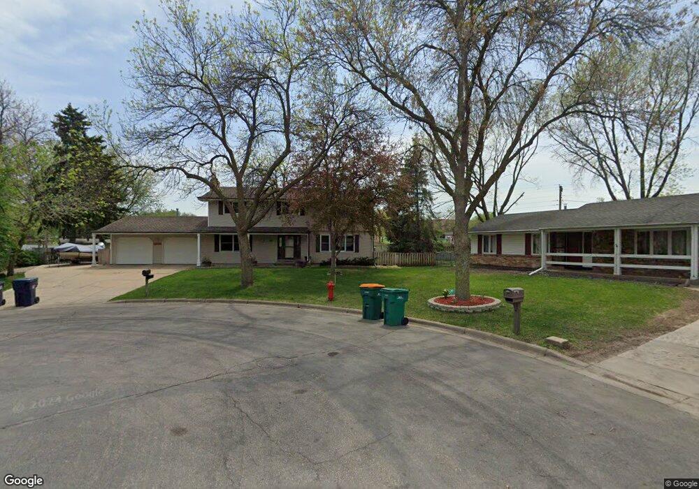
11509 Keating Ave Burnsville, MN 55337
Estimated Value: $422,000 - $467,000
6
Beds
2
Baths
2,240
Sq Ft
$199/Sq Ft
Est. Value
About This Home
This home is located at 11509 Keating Ave, Burnsville, MN 55337 and is currently estimated at $445,425, approximately $198 per square foot. 11509 Keating Ave is a home located in Dakota County with nearby schools including William Byrne Elementary School, Burnsville High School, and Gateway STEM Academy.
Ownership History
Date
Name
Owned For
Owner Type
Purchase Details
Closed on
Sep 26, 2024
Sold by
Blahnik Harry and Blahnik Renee
Bought by
Blahnik David
Current Estimated Value
Home Financials for this Owner
Home Financials are based on the most recent Mortgage that was taken out on this home.
Original Mortgage
$183,000
Outstanding Balance
$181,127
Interest Rate
6.49%
Mortgage Type
New Conventional
Estimated Equity
$264,298
Create a Home Valuation Report for This Property
The Home Valuation Report is an in-depth analysis detailing your home's value as well as a comparison with similar homes in the area
Home Values in the Area
Average Home Value in this Area
Purchase History
| Date | Buyer | Sale Price | Title Company |
|---|---|---|---|
| Blahnik David | $425,000 | -- |
Source: Public Records
Mortgage History
| Date | Status | Borrower | Loan Amount |
|---|---|---|---|
| Open | Blahnik David | $183,000 |
Source: Public Records
Tax History Compared to Growth
Tax History
| Year | Tax Paid | Tax Assessment Tax Assessment Total Assessment is a certain percentage of the fair market value that is determined by local assessors to be the total taxable value of land and additions on the property. | Land | Improvement |
|---|---|---|---|---|
| 2024 | $4,318 | $410,600 | $96,800 | $313,800 |
| 2023 | $4,318 | $410,500 | $96,900 | $313,600 |
| 2022 | $3,592 | $399,500 | $96,600 | $302,900 |
| 2021 | $3,640 | $339,000 | $84,000 | $255,000 |
| 2020 | $3,624 | $326,500 | $80,000 | $246,500 |
| 2019 | $3,728 | $314,100 | $76,200 | $237,900 |
| 2018 | $4,716 | $286,000 | $72,600 | $213,400 |
| 2017 | $4,055 | $279,200 | $69,100 | $210,100 |
| 2016 | $4,591 | $261,900 | $65,800 | $196,100 |
| 2015 | $4,539 | $246,160 | $60,499 | $185,661 |
| 2014 | -- | $241,691 | $59,219 | $182,472 |
| 2013 | -- | $214,550 | $53,312 | $161,238 |
Source: Public Records
Map
Nearby Homes
- 3017 Mcleod St
- 11459 Galtier Dr
- 11902 River Hills Cir
- 11900 Highland View Cir
- 11036 27th Ave S
- 2200 Horizon Rd
- 11921 Baypoint Dr
- 11017 27th Ave S
- 4427 Cinnamon Ridge Cir
- 4425 Cinnamon Ridge Cir
- 10934 Southview Dr
- 4413 Slater Rd
- 4463 Cinnamon Ridge Cir
- 2001 Woods Ln
- 3309 Red Oak Cir N
- 11115 Carver Ct
- 11311 W River Hills Dr
- 4632 Westwood Ln
- 1601 Raleigh Dr
- 1853 Riverwood Dr Unit 4
- 11507 Keating Ave
- 2803 Mcleod St
- 11506 Keating Ave
- 2805 Mcleod St
- 11502 Keating Ave
- 11504 Keating Ave
- 11503 Keating Ave
- 2802 Mcleod St
- 2901 Mcleod St
- 11500 Keating Ave
- 11501 Keating Ave
- 2900 Mcleod St
- 11450 Keating Ave
- 2903 Mcleod St
- 11413 Keating Ave
- 11637 11637 Kennelly-Circle-
- 11611 Kennelly Cir Unit 106
- 11609 Kennelly Cir Unit 105
- 11609 Kennelly Cir
- 11412 Keating Ave