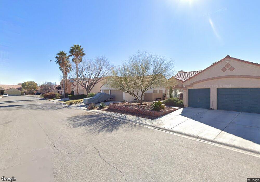
1151 Birdnest Ct Las Vegas, NV 89123
Silverado Ranch NeighborhoodEstimated Value: $492,000 - $509,000
4
Beds
2
Baths
1,739
Sq Ft
$289/Sq Ft
Est. Value
About This Home
This home is located at 1151 Birdnest Ct, Las Vegas, NV 89123 and is currently estimated at $502,472, approximately $288 per square foot. 1151 Birdnest Ct is a home located in Clark County with nearby schools including Louis Wiener Jr Elementary School, Charlotte Hill Elementary School, and Jack Lund Schofield Middle School.
Ownership History
Date
Name
Owned For
Owner Type
Purchase Details
Closed on
Jun 7, 2024
Sold by
Hogan Michael W and Brady Lisa
Bought by
Hogan-Brady Trust and Hogan
Current Estimated Value
Purchase Details
Closed on
May 24, 2019
Sold by
Hogan Michael W
Bought by
Hogan Michael W and Brady Lisa
Purchase Details
Closed on
Sep 9, 1999
Sold by
Hogan Suzan
Bought by
Hogan Michael W
Purchase Details
Closed on
Oct 29, 1997
Sold by
Hogan Michael W
Bought by
Hogan Michael W and Hogan Suzan
Home Financials for this Owner
Home Financials are based on the most recent Mortgage that was taken out on this home.
Original Mortgage
$93,200
Interest Rate
7.36%
Create a Home Valuation Report for This Property
The Home Valuation Report is an in-depth analysis detailing your home's value as well as a comparison with similar homes in the area
Home Values in the Area
Average Home Value in this Area
Purchase History
| Date | Buyer | Sale Price | Title Company |
|---|---|---|---|
| Hogan-Brady Trust | -- | None Listed On Document | |
| Hogan Michael W | $227,686 | Fidelity National Title | |
| Hogan Michael W | -- | Fidelity National Title | |
| Hogan Michael W | -- | Lawyers Title |
Source: Public Records
Mortgage History
| Date | Status | Borrower | Loan Amount |
|---|---|---|---|
| Previous Owner | Hogan Michael W | $93,200 |
Source: Public Records
Tax History Compared to Growth
Tax History
| Year | Tax Paid | Tax Assessment Tax Assessment Total Assessment is a certain percentage of the fair market value that is determined by local assessors to be the total taxable value of land and additions on the property. | Land | Improvement |
|---|---|---|---|---|
| 2025 | $2,203 | $108,037 | $39,550 | $68,487 |
| 2024 | $2,139 | $108,037 | $39,550 | $68,487 |
| 2023 | $2,139 | $98,878 | $33,600 | $65,278 |
| 2022 | $1,685 | $92,678 | $32,550 | $60,128 |
| 2021 | $2,109 | $89,970 | $32,550 | $57,420 |
| 2020 | $1,955 | $81,024 | $23,800 | $57,224 |
| 2019 | $1,832 | $79,690 | $23,100 | $56,590 |
| 2018 | $1,779 | $74,109 | $19,250 | $54,859 |
| 2017 | $2,173 | $74,099 | $18,200 | $55,899 |
| 2016 | $1,685 | $68,981 | $12,600 | $56,381 |
| 2015 | $1,681 | $63,799 | $10,150 | $53,649 |
| 2014 | $1,632 | $53,997 | $8,750 | $45,247 |
Source: Public Records
Map
Nearby Homes
- 8272 Beaverbrook Way
- 8343 Rockefeller St
- 8190 Fox Tail Way
- 1081 Overture Dr
- 8379 Drop Camp St
- 8378 Green Cedar Dr
- 1077 Adelman Dr
- 0 S Maryland Pkwy
- 1058 Silver Stone Way Unit 3
- 899 Hornbeak Ct
- 960 Clear Diamond Ave
- 915 Brass Ring Rd
- 920 Clear Diamond Ave
- 927 Clear Diamond Ave
- 896 Clear Diamond Ave
- 971 Whispering Grove Ave
- 1058 Warm Canyon Way
- 8208 Palmada Dr
- 8039 Aspendale Dr
- 8031 Aspendale Dr
- 1141 Birdnest Ct
- 1161 Birdnest Ct
- 1154 Thornfield Ln
- 1131 Birdnest Ct
- 1171 Birdnest Ct
- 1164 Thornfield Ln Unit 4
- 1144 Thornfield Ln
- 1152 Birdnest Ct
- 1174 Thornfield Ln
- 1134 Thornfield Ln
- 1142 Birdnest Ct
- 1162 Birdnest Ct
- 1121 Birdnest Ct
- 1181 Birdnest Ct
- 1132 Birdnest Ct
- 1172 Birdnest Ct
- 1124 Thornfield Ln
- 1184 Thornfield Ln
- 1122 Birdnest Ct
- 1182 Birdnest Ct