11513 NE 139th Ave Brush Prairie, WA 98606
Orchards Area NeighborhoodEstimated Value: $622,000 - $883,000
3
Beds
3
Baths
1,694
Sq Ft
$435/Sq Ft
Est. Value
About This Home
This home is located at 11513 NE 139th Ave, Brush Prairie, WA 98606 and is currently estimated at $736,559, approximately $434 per square foot. 11513 NE 139th Ave is a home located in Clark County with nearby schools including Glenwood Heights Primary School, Laurin Middle School, and Prairie High School.
Ownership History
Date
Name
Owned For
Owner Type
Purchase Details
Closed on
Nov 26, 2010
Sold by
Griffiths Roy F and Griffiths Debra Y
Bought by
Griffiths Thomas R
Current Estimated Value
Home Financials for this Owner
Home Financials are based on the most recent Mortgage that was taken out on this home.
Original Mortgage
$247,500
Interest Rate
6%
Mortgage Type
Seller Take Back
Create a Home Valuation Report for This Property
The Home Valuation Report is an in-depth analysis detailing your home's value as well as a comparison with similar homes in the area
Home Values in the Area
Average Home Value in this Area
Purchase History
| Date | Buyer | Sale Price | Title Company |
|---|---|---|---|
| Griffiths Thomas R | $275,000 | Clark County Title Co |
Source: Public Records
Mortgage History
| Date | Status | Borrower | Loan Amount |
|---|---|---|---|
| Closed | Griffiths Thomas R | $247,500 |
Source: Public Records
Tax History Compared to Growth
Tax History
| Year | Tax Paid | Tax Assessment Tax Assessment Total Assessment is a certain percentage of the fair market value that is determined by local assessors to be the total taxable value of land and additions on the property. | Land | Improvement |
|---|---|---|---|---|
| 2025 | $5,303 | $628,683 | $265,329 | $363,354 |
| 2024 | $4,539 | $623,270 | $265,329 | $357,941 |
| 2023 | $4,564 | $609,311 | $263,474 | $345,837 |
| 2022 | $4,401 | $560,561 | $222,346 | $338,215 |
| 2021 | $4,174 | $472,659 | $188,013 | $284,646 |
| 2020 | $4,691 | $409,716 | $163,490 | $246,226 |
| 2019 | $3,807 | $450,313 | $210,791 | $239,522 |
| 2018 | $4,455 | $417,593 | $0 | $0 |
| 2017 | $3,820 | $373,622 | $0 | $0 |
| 2016 | $3,445 | $348,338 | $0 | $0 |
| 2015 | $3,407 | $288,178 | $0 | $0 |
| 2014 | -- | $269,493 | $0 | $0 |
| 2013 | -- | $245,768 | $0 | $0 |
Source: Public Records
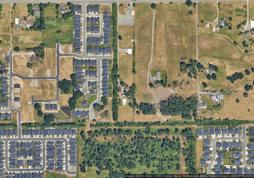
Map
Nearby Homes
- 13712 NE 116th Cir
- 11613 NE 136th Ave
- 13705 NE 118th Way
- 13620 NE 110th Way
- 11217 NE 134th Place
- 13314 NE 112th St
- 10712 NE 142nd Ave
- 11501 NE 131st Place
- 13321 NE 109th Way
- 11121 NE 131st Ave
- 12702 NE 109th St
- Bradford Plan at Luden Estates
- Moonstone Plan at Luden Estates
- Laurel Plan at Luden Estates
- 11113 NE 131st Ave
- 11620 NE 131st Ave
- 11010 NE 131st Ct
- 11206 NE 149th Ave
- 11703 NE 128th Place
- 14203 NE 103rd St
- 11505 NE 138th Ave
- 11509 NE 138th Ave Unit 25
- 11513 NE 138th Ave
- 11517 NE 138th Ave
- 11521 NE 138th Ave
- 11603 NE 138th Ave
- 11607 NE 138th Ave
- 13737 NE 116th Cir
- 13713 NE 116th Cir
- 11611 NE 138th Ave
- 11611 NE 138th Ave
- 11615 NE 138th Ave Unit Lot18
- 13921 NE 119th St
- 11619 NE 138th Ave
- 13709 NE 116th Cir
- 13732 NE 116th Cir
- 13709 NE 117th St
- 13728 NE 116th Cir
- 11404 NE 138th Ave
- 13705 NE 117th St