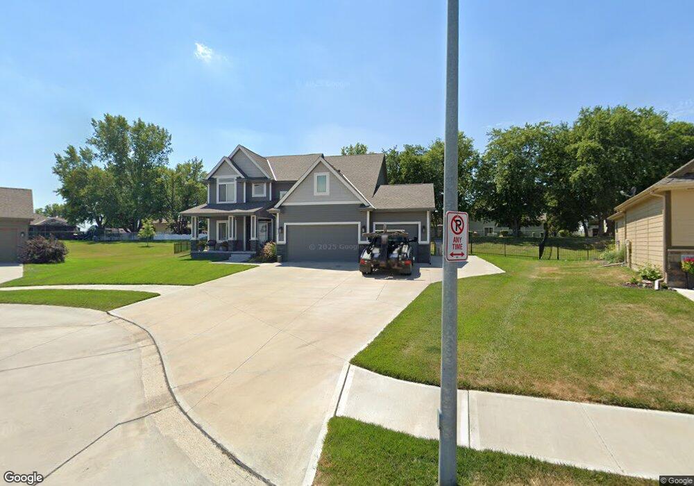
11513 S 201st St Gretna, NE 68028
Estimated Value: $483,464 - $557,000
4
Beds
3
Baths
2,446
Sq Ft
$211/Sq Ft
Est. Value
About This Home
This home is located at 11513 S 201st St, Gretna, NE 68028 and is currently estimated at $516,616, approximately $211 per square foot. 11513 S 201st St is a home with nearby schools including Squire John Thomas Elementary School, Gretna Middle School, and Gretna High School.
Ownership History
Date
Name
Owned For
Owner Type
Purchase Details
Closed on
Aug 20, 2018
Sold by
D & E Custom Building And Design Inc
Bought by
Lund Jason and Johnson Kristin
Current Estimated Value
Home Financials for this Owner
Home Financials are based on the most recent Mortgage that was taken out on this home.
Original Mortgage
$289,179
Outstanding Balance
$251,689
Interest Rate
4.6%
Mortgage Type
FHA
Estimated Equity
$264,927
Purchase Details
Closed on
Apr 10, 2018
Sold by
Mccune Development Llc
Bought by
De Custom Buildging Desitgn
Home Financials for this Owner
Home Financials are based on the most recent Mortgage that was taken out on this home.
Original Mortgage
$221,250
Interest Rate
4.45%
Create a Home Valuation Report for This Property
The Home Valuation Report is an in-depth analysis detailing your home's value as well as a comparison with similar homes in the area
Home Values in the Area
Average Home Value in this Area
Purchase History
| Date | Buyer | Sale Price | Title Company |
|---|---|---|---|
| Lund Jason | $295,000 | Ambassador Title Services | |
| De Custom Buildging Desitgn | $47,000 | Ambassador Title Services |
Source: Public Records
Mortgage History
| Date | Status | Borrower | Loan Amount |
|---|---|---|---|
| Open | Lund Jason | $289,179 | |
| Previous Owner | De Custom Buildging Desitgn | $221,250 |
Source: Public Records
Tax History Compared to Growth
Tax History
| Year | Tax Paid | Tax Assessment Tax Assessment Total Assessment is a certain percentage of the fair market value that is determined by local assessors to be the total taxable value of land and additions on the property. | Land | Improvement |
|---|---|---|---|---|
| 2025 | $8,888 | $419,945 | $83,000 | $336,945 |
| 2024 | $9,022 | $414,455 | $77,000 | $337,455 |
| 2023 | $9,022 | $352,316 | $57,000 | $295,316 |
| 2022 | $8,602 | $322,173 | $52,000 | $270,173 |
| 2021 | $7,921 | $300,925 | $47,000 | $253,925 |
| 2020 | $8,059 | $296,172 | $47,000 | $249,172 |
| 2019 | $7,983 | $293,955 | $47,000 | $246,955 |
| 2018 | $730 | $27,000 | $27,000 | $0 |
| 2017 | $731 | $27,000 | $27,000 | $0 |
| 2016 | $324 | $12,004 | $12,004 | $0 |
| 2015 | $54 | $1,997 | $1,997 | $0 |
Source: Public Records
Map
Nearby Homes
- 434 Devonshire Dr
- 19819 Sherwood Cir
- 19905 Maple St
- 11719 S 203rd St
- 19910 Oak St
- 19803 Birch St
- 206 E Westplains Rd
- 22111 Hackberry Dr
- 20717 Frances St
- 11647 Willow Park Dr
- 11280 S 200th Ave
- 109 Meadow Ln
- 21716 Glenmore Dr
- 21711 Glenmore Dr
- 21707 Glenmore Dr
- 20919 Birch St
- 20605 Woodridge Dr
- 326 Connor St
- 347 Michael Dr
- 20506 Boulder St
- 11509 S 201st St
- 501 Locust St
- 213 Barrington Dr
- 209 Barrington Dr
- 217 Barrington Dr
- 11505 S 201st St
- 205 Barrington Dr
- 505 Locust St
- 506 Locust St
- 448 Sherwood Dr
- 221 Barrington Dr
- 504 Sherwood Dr
- 425 Devonshire Dr
- 11501 S 201st St
- 509 Locust St
- 201 Barrington Dr
- 510 Locust St
- 508 Sherwood Dr
- 505 Devonshire Dr
- 438 Sherwood Dr