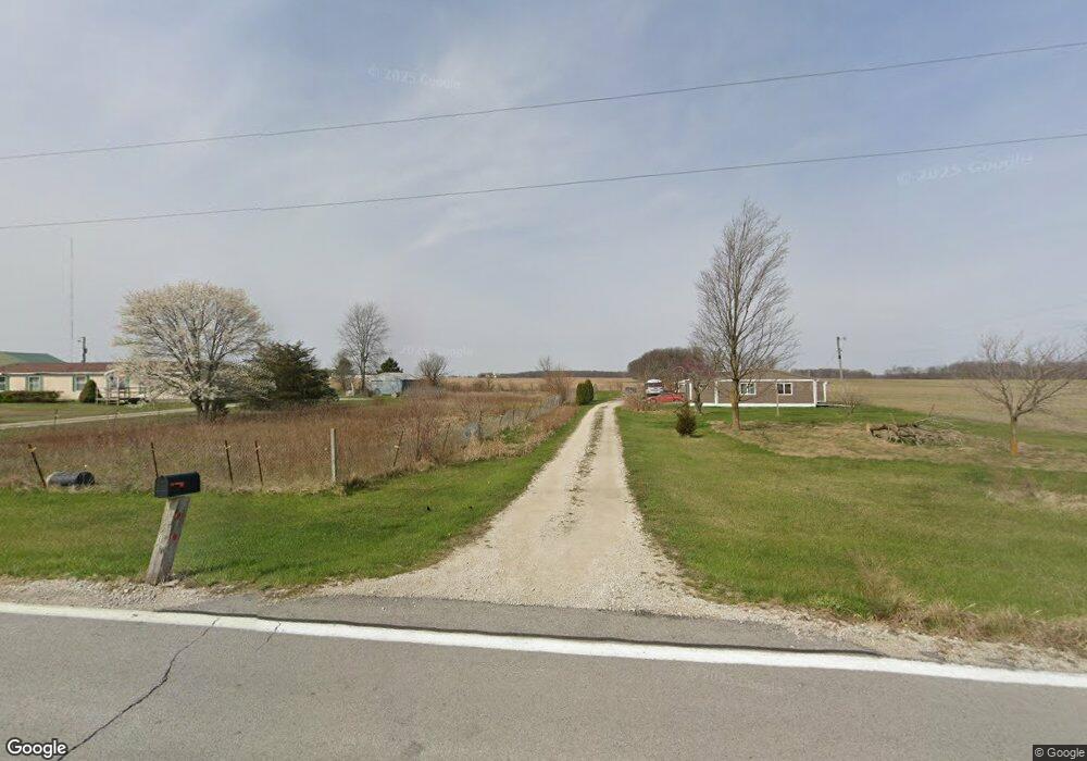
11516 S 900 W 35 Marion, IN 46952
Estimated Value: $238,015 - $368,000
3
Beds
3
Baths
2,240
Sq Ft
$139/Sq Ft
Est. Value
About This Home
This home is located at 11516 S 900 W 35, Marion, IN 46952 and is currently estimated at $312,254, approximately $139 per square foot. 11516 S 900 W 35 is a home with nearby schools including Lancaster Elementary School and Huntington North High School.
Ownership History
Date
Name
Owned For
Owner Type
Purchase Details
Closed on
Jul 15, 2025
Sold by
Borntreger Melissa I and Borntreger Robert D
Bought by
Ostrow Melissa I
Current Estimated Value
Home Financials for this Owner
Home Financials are based on the most recent Mortgage that was taken out on this home.
Original Mortgage
$124,800
Outstanding Balance
$123,937
Interest Rate
5.97%
Mortgage Type
Credit Line Revolving
Estimated Equity
$188,317
Create a Home Valuation Report for This Property
The Home Valuation Report is an in-depth analysis detailing your home's value as well as a comparison with similar homes in the area
Purchase History
| Date | Buyer | Sale Price | Title Company |
|---|---|---|---|
| Ostrow Melissa I | -- | Fidelity National Title |
Source: Public Records
Mortgage History
| Date | Status | Borrower | Loan Amount |
|---|---|---|---|
| Open | Ostrow Melissa I | $124,800 |
Source: Public Records
Tax History
| Year | Tax Paid | Tax Assessment Tax Assessment Total Assessment is a certain percentage of the fair market value that is determined by local assessors to be the total taxable value of land and additions on the property. | Land | Improvement |
|---|---|---|---|---|
| 2024 | $892 | $144,500 | $19,000 | $125,500 |
| 2023 | $574 | $107,700 | $19,000 | $88,700 |
| 2022 | $644 | $109,700 | $19,000 | $90,700 |
| 2021 | $623 | $102,300 | $19,000 | $83,300 |
| 2020 | $560 | $94,800 | $19,000 | $75,800 |
| 2019 | $518 | $95,800 | $19,000 | $76,800 |
| 2018 | $582 | $96,800 | $19,000 | $77,800 |
| 2017 | $517 | $96,600 | $19,000 | $77,600 |
| 2016 | $424 | $92,100 | $19,000 | $73,100 |
| 2014 | $422 | $90,600 | $19,000 | $71,600 |
| 2013 | $422 | $93,000 | $19,000 | $74,000 |
Source: Public Records
Map
Nearby Homes
- 1075 E Bocock Rd
- 933 E Bocock Rd
- 4015 N 600 E
- 3105 N Huntington Rd
- 4493 N Wabash Rd
- 403 E Kendall St
- 2325 N Huntington Rd
- 4180 N Wabash Rd
- 204 S Main St
- 2220 N Huntington Rd
- 3 Mason St
- 3920 N Avalon Dr
- 8937 S 900 W
- 703 E Bond Ave
- 7754 S America Rd
- 3112 N Coats Rd
- 1906 W James Dr
- 1916 W James Dr
- 224 E Christy St
- 1502 N Baldwin Ave
- 11612 S 900 W 35
- 11500 S 900 W 35
- 11662 S 900 W 35
- 11019 S Marion Road 35
- 11450 S Marion Road 35
- 11410 S Marion Road 35
- 11266 S 900 W 35
- 11996 S Marion Road 35
- 9342 W 1200 S 35
- 9402 W 1200 S 35
- 9018 W 1100 S35
- 11100 S Marion Road 35
- 9288 W 1100 S35
- 8560 W 1100 W-90 S
- 9670 W 1200 S 35
- 9499 W 1100 S35
- 9499 W 1100 South-35
- 8546 W 1100 S 35
- 6616 N Huntington Rd
- 10929 S Marion Rd
Your Personal Tour Guide
Ask me questions while you tour the home.