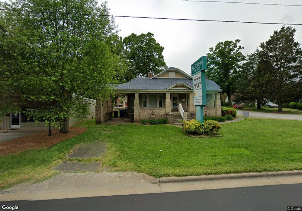
11519 N Main St High Point, NC 27263
Estimated Value: $295,073 - $377,000
--
Bed
--
Bath
2,076
Sq Ft
$163/Sq Ft
Est. Value
About This Home
This home is located at 11519 N Main St, High Point, NC 27263 and is currently estimated at $338,268, approximately $162 per square foot. 11519 N Main St is a home with nearby schools including Archdale Elementary School, Wheatmore Middle School, and Trinity High School.
Ownership History
Date
Name
Owned For
Owner Type
Purchase Details
Closed on
Apr 1, 2011
Sold by
Benson Robert L and Benson Dianne C
Bought by
Creech Betty S
Current Estimated Value
Home Financials for this Owner
Home Financials are based on the most recent Mortgage that was taken out on this home.
Original Mortgage
$66,250
Interest Rate
4.95%
Mortgage Type
Commercial
Purchase Details
Closed on
Apr 3, 1998
Bought by
Creech Betty S
Purchase Details
Closed on
Jun 8, 1995
Bought by
Creech Betty S
Create a Home Valuation Report for This Property
The Home Valuation Report is an in-depth analysis detailing your home's value as well as a comparison with similar homes in the area
Home Values in the Area
Average Home Value in this Area
Purchase History
| Date | Buyer | Sale Price | Title Company |
|---|---|---|---|
| Creech Betty S | $184,000 | None Available | |
| Creech Betty S | $155,000 | -- | |
| Creech Betty S | $98,000 | -- |
Source: Public Records
Mortgage History
| Date | Status | Borrower | Loan Amount |
|---|---|---|---|
| Closed | Creech Betty S | $66,250 |
Source: Public Records
Tax History Compared to Growth
Tax History
| Year | Tax Paid | Tax Assessment Tax Assessment Total Assessment is a certain percentage of the fair market value that is determined by local assessors to be the total taxable value of land and additions on the property. | Land | Improvement |
|---|---|---|---|---|
| 2025 | $2,581 | $248,100 | $59,890 | $188,210 |
| 2024 | $2,556 | $248,100 | $59,890 | $188,210 |
| 2023 | $2,556 | $248,100 | $59,890 | $188,210 |
| 2022 | $2,244 | $189,380 | $59,890 | $129,490 |
| 2021 | $2,244 | $189,380 | $59,890 | $129,490 |
| 2020 | $2,193 | $189,380 | $59,890 | $129,490 |
| 2019 | $2,193 | $189,380 | $59,890 | $129,490 |
| 2018 | $2,056 | $173,060 | $59,890 | $113,170 |
| 2016 | $2,015 | $173,059 | $59,890 | $113,169 |
| 2015 | $2,019 | $173,059 | $59,890 | $113,169 |
| 2014 | -- | $173,059 | $59,890 | $113,169 |
Source: Public Records
Map
Nearby Homes
- 327 Wynnewood Dr
- 112 Havenwood Dr
- 1020 Westbrook Ct
- 10844 N Main St
- 3820 David St
- 600 E Fairfield Rd
- 706 E Fairfield Rd
- 102 Quakerwood Dr
- 512 Dale St
- 3813 Salisbury St
- 1009 Harb Dr
- 1011 Harb Dr
- 1010 Harb Dr
- 10812, 10822, 10828 N Main St
- 302 Brittany Way
- 1000 Victory Dr
- 1027 Harb Dr
- KYLE Plan at English Farm
- PENWELL Plan at English Farm
- CALI Plan at English Farm
- 11512 N Main St
- 11537 N Main St
- 11413 N Main St
- 11506 N Main St
- 11502 N Main St
- 11522 N Main St
- 11544 N Main St
- 200 Stratford Rd
- 118 Trindale Rd
- 208 Stratford Rd
- 212 Stratford Rd
- 105 Kersey Dr
- 107 Kersey Dr
- 214 Stratford Rd
- 206 E Test St Unit 123
- 216 Stratford Rd
- 109 Kersey Dr
- 209 Stratford Rd
- 11635 N Main St
- 218 Stratford Rd