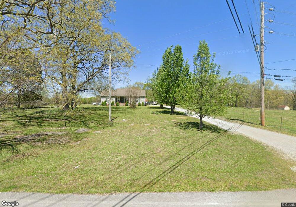
1152 Cedar Grove Rd Lebanon, TN 37087
Estimated Value: $444,000 - $599,000
--
Bed
--
Bath
1,928
Sq Ft
$273/Sq Ft
Est. Value
About This Home
This home is located at 1152 Cedar Grove Rd, Lebanon, TN 37087 and is currently estimated at $527,131, approximately $273 per square foot. 1152 Cedar Grove Rd is a home with nearby schools including Carroll Oakland Elementary School, Lebanon High School, and Friendship Christian School.
Ownership History
Date
Name
Owned For
Owner Type
Purchase Details
Closed on
Apr 7, 2003
Sold by
Driver Tim B and Driver Mary L
Bought by
Siringer Joy D
Current Estimated Value
Home Financials for this Owner
Home Financials are based on the most recent Mortgage that was taken out on this home.
Original Mortgage
$180,000
Outstanding Balance
$76,588
Interest Rate
5.62%
Estimated Equity
$450,543
Create a Home Valuation Report for This Property
The Home Valuation Report is an in-depth analysis detailing your home's value as well as a comparison with similar homes in the area
Home Values in the Area
Average Home Value in this Area
Purchase History
| Date | Buyer | Sale Price | Title Company |
|---|---|---|---|
| Siringer Joy D | $42,000 | -- |
Source: Public Records
Mortgage History
| Date | Status | Borrower | Loan Amount |
|---|---|---|---|
| Open | Siringer Joy D | $180,000 |
Source: Public Records
Tax History Compared to Growth
Tax History
| Year | Tax Paid | Tax Assessment Tax Assessment Total Assessment is a certain percentage of the fair market value that is determined by local assessors to be the total taxable value of land and additions on the property. | Land | Improvement |
|---|---|---|---|---|
| 2024 | $1,418 | $74,300 | $23,950 | $50,350 |
| 2022 | $1,418 | $74,300 | $23,950 | $50,350 |
| 2021 | $1,418 | $74,300 | $23,950 | $50,350 |
| 2020 | $1,542 | $74,300 | $23,950 | $50,350 |
| 2019 | $1,542 | $61,225 | $19,325 | $41,900 |
| 2018 | $1,542 | $61,225 | $19,325 | $41,900 |
| 2017 | $1,542 | $61,225 | $19,325 | $41,900 |
| 2016 | $1,542 | $61,225 | $19,325 | $41,900 |
| 2015 | $1,574 | $61,225 | $19,325 | $41,900 |
| 2014 | $1,485 | $57,772 | $0 | $0 |
Source: Public Records
Map
Nearby Homes
- 906 Koble Dr
- 601 Doe Ridge Ct
- 615 Greene Dr
- 128 Mann Rd
- 160 Mann Rd
- 2680 Cedar Grove Rd
- 102 Briana Rd
- 0 Coles Ferry Pike Unit RTC3001704
- 1959 Burford Rd
- 5405 Manners Rd
- 0 Berea Church Rd
- 2022 Mann Rd
- 1480 Old Hunters Point Pike
- 849 Brook Trail
- 848 Brook Trail
- 1009 Stone Creek Ln
- 1102 Collin Dr #206
- 854 Brook Trail
- 811 Brook Trail
- 1003 Stone Creek Ln #221
- 331 Karlee Dr
- 1156 Cedar Grove Rd
- 1044 Cedar Grove Rd
- 342 Karlee Dr
- 1214 Cedar Grove Rd
- 984 Cedar Grove Rd
- 340 Karlee Dr
- 1096 Cedar Grove Rd
- 1072 Cedar Grove Rd
- 329 Karlee Dr
- 1028 Cedar Grove Rd
- 338 Karlee Dr
- 336 Karlee Dr
- 960 Cedar Grove Rd
- 1000 Cedar Grove Rd
- 1205 Cedar Grove Rd
- 327 Karlee Dr
- 1231 Cedar Grove Rd
- 1360 Cedar Grove Rd
- 334 Karlee Dr