1152 Dawson Rd Woodridge, IL 60517
South Woodridge NeighborhoodEstimated Value: $685,257 - $851,000
--
Bed
--
Bath
2,303
Sq Ft
$341/Sq Ft
Est. Value
About This Home
This home is located at 1152 Dawson Rd, Woodridge, IL 60517 and is currently estimated at $784,814, approximately $340 per square foot. 1152 Dawson Rd is a home with nearby schools including Prairieview Elementary School, Elizabeth Ide Elementary School, and Lakeview Jr High School.
Ownership History
Date
Name
Owned For
Owner Type
Purchase Details
Closed on
May 19, 2025
Sold by
Remoquillo Soliman D and Remoquillo Soliman L
Bought by
Remoquillo Family Trust and Remoquillo
Current Estimated Value
Purchase Details
Closed on
Jun 13, 2019
Sold by
First Midwest Bank
Bought by
Remoquillo Soliman L and Remoquillo Angelica
Home Financials for this Owner
Home Financials are based on the most recent Mortgage that was taken out on this home.
Original Mortgage
$483,147
Interest Rate
4%
Mortgage Type
New Conventional
Create a Home Valuation Report for This Property
The Home Valuation Report is an in-depth analysis detailing your home's value as well as a comparison with similar homes in the area
Home Values in the Area
Average Home Value in this Area
Purchase History
| Date | Buyer | Sale Price | Title Company |
|---|---|---|---|
| Remoquillo Family Trust | -- | None Listed On Document | |
| Remoquillo Soliman L | $541,000 | Chicago Title |
Source: Public Records
Mortgage History
| Date | Status | Borrower | Loan Amount |
|---|---|---|---|
| Previous Owner | Remoquillo Soliman L | $483,147 |
Source: Public Records
Tax History Compared to Growth
Tax History
| Year | Tax Paid | Tax Assessment Tax Assessment Total Assessment is a certain percentage of the fair market value that is determined by local assessors to be the total taxable value of land and additions on the property. | Land | Improvement |
|---|---|---|---|---|
| 2024 | $13,334 | $216,592 | $61,918 | $154,674 |
| 2023 | $12,800 | $199,110 | $56,920 | $142,190 |
| 2022 | $12,251 | $183,700 | $54,430 | $129,270 |
| 2021 | $11,311 | $181,610 | $53,810 | $127,800 |
| 2020 | $11,129 | $178,010 | $52,740 | $125,270 |
| 2019 | $3,923 | $2,350 | $2,350 | $0 |
| 2018 | $157 | $2,340 | $2,340 | $0 |
| 2017 | $151 | $2,250 | $2,250 | $0 |
| 2016 | $144 | $2,150 | $2,150 | $0 |
| 2015 | $143 | $2,020 | $2,020 | $0 |
| 2014 | $141 | $1,960 | $1,960 | $0 |
| 2013 | $143 | $1,950 | $1,950 | $0 |
Source: Public Records
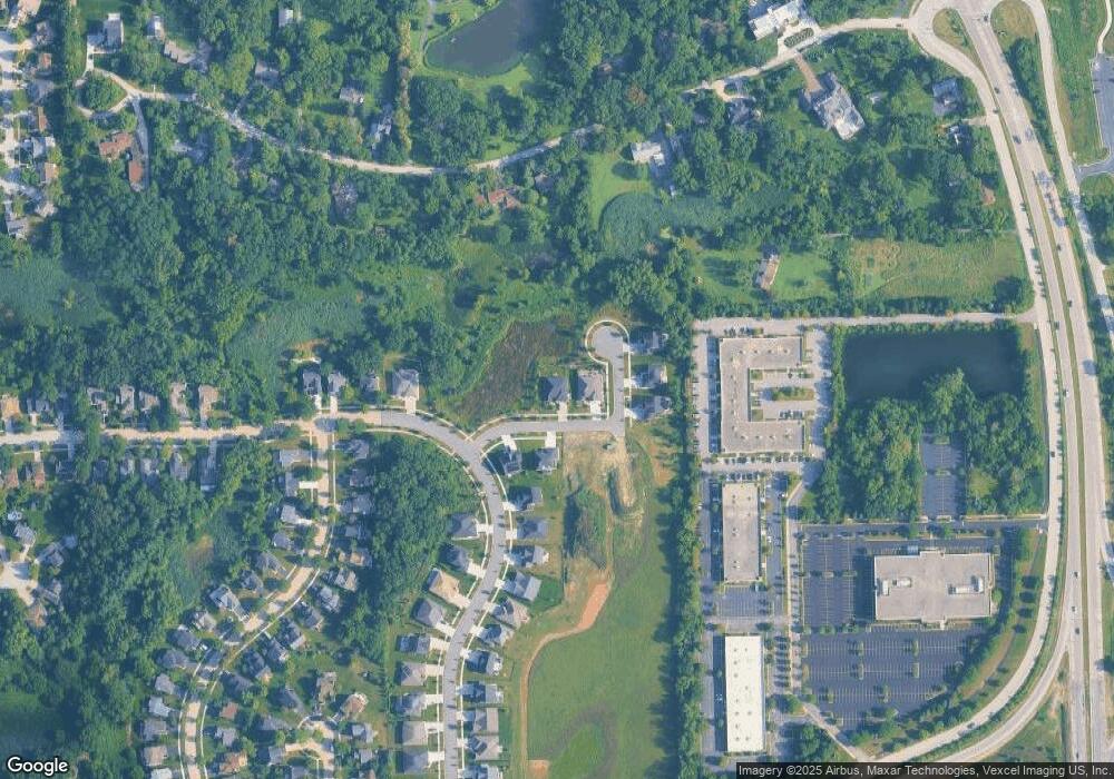
Map
Nearby Homes
- 9005 Gloucester Rd
- 9014 Gloucester Rd
- 9032 Lemont Rd
- Fremont Plan at Farmingdale Village
- Eden Plan at Farmingdale Village
- Danbury Plan at Farmingdale Village
- Calysta Plan at Farmingdale Village
- Briarcliffe Plan at Farmingdale Village
- Amberwood Plan at Farmingdale Village
- 11S100 Carpenter St
- 2845 87th St
- 8937 Tara Hill Rd
- 8557 Sandalwood Dr
- 3145 Hillside Ln
- 8620 Washington St
- 454 Andrus Rd
- 8547 Harvest Ln
- 960 86th St
- 8843 Oxford St
- 8825 Robert Rd
- 1148 Dawson Rd
- 8908 Pembrook Way
- 1149 Dawson Rd
- 1153 Dawson Rd
- 8912 Pembrook Way
- 8907 Pembrook Way
- 8911 Pembrook Way
- 8903 Pembrook Way
- 1156 Dawson Rd
- 8937 Gloucester Rd
- 8915 Pembrook Way
- 8916 Pembrook Way
- 8919 Pembrook Way
- 8941 Gloucester Rd
- 1160 Gloucester Rd
- 8923 Pembrook Way
- 8920 Pembrook Way
- 8936 Gloucester Rd
- 8945 Gloucester Rd
- 8927 Pembrook Way