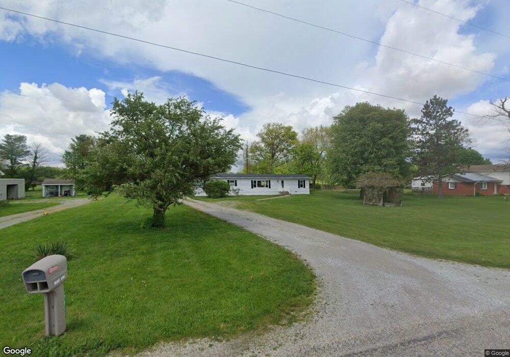
1152 E 800 S La Fontaine, IN 46940
Estimated Value: $164,298 - $263,000
3
Beds
2
Baths
1,632
Sq Ft
$122/Sq Ft
Est. Value
About This Home
This home is located at 1152 E 800 S, La Fontaine, IN 46940 and is currently estimated at $199,825, approximately $122 per square foot. 1152 E 800 S is a home located in Wabash County.
Ownership History
Date
Name
Owned For
Owner Type
Purchase Details
Closed on
Jan 2, 2024
Sold by
Polk Thomas W
Bought by
Polk Thomas W and Polk Kimberly K
Current Estimated Value
Purchase Details
Closed on
Jan 12, 2007
Sold by
Polk Thomas W
Bought by
Polk Thomas W
Create a Home Valuation Report for This Property
The Home Valuation Report is an in-depth analysis detailing your home's value as well as a comparison with similar homes in the area
Home Values in the Area
Average Home Value in this Area
Purchase History
| Date | Buyer | Sale Price | Title Company |
|---|---|---|---|
| Polk Thomas W | -- | None Listed On Document | |
| Polk Thomas W | -- | -- |
Source: Public Records
Tax History Compared to Growth
Tax History
| Year | Tax Paid | Tax Assessment Tax Assessment Total Assessment is a certain percentage of the fair market value that is determined by local assessors to be the total taxable value of land and additions on the property. | Land | Improvement |
|---|---|---|---|---|
| 2024 | $1,038 | $75,900 | $14,800 | $61,100 |
| 2023 | $1,026 | $76,600 | $14,800 | $61,800 |
| 2022 | $710 | $69,100 | $14,800 | $54,300 |
| 2021 | $726 | $62,600 | $11,300 | $51,300 |
| 2020 | $614 | $53,400 | $11,400 | $42,000 |
| 2019 | $561 | $51,000 | $11,400 | $39,600 |
| 2018 | $543 | $50,100 | $11,400 | $38,700 |
| 2017 | $501 | $49,700 | $11,400 | $38,300 |
| 2016 | $499 | $62,100 | $11,400 | $50,700 |
| 2014 | $411 | $59,800 | $11,400 | $48,400 |
| 2013 | $430 | $56,800 | $11,400 | $45,400 |
Source: Public Records
Map
Nearby Homes
- 852 W 850 S
- 3192 E 800 S Unit 2
- 3682 E State Road 124
- 7754 S America Rd
- 3 Mason St
- 403 E Kendall St
- 2165 E 400 S
- 109 E Grant St
- 100 N Delaware Ln
- 00 S Old St Rd 15
- 173 Shady Lane Dr
- 765 Lafontaine Ave
- 665 Linlawn Dr
- 1569 Vernon St
- 3576 W 505 N
- 1430 Vernon St
- 1472 Middle St
- 1558 Webster St
- 459 E Hill St
- 35 E Sinclair St
- 1136 E 800 S
- 1192 E 800 S
- 1106 E 800 S
- 1246 E 800 S
- 1076 E 800 S
- 1048 E 800 S
- 7852 S State Road 15 Unit 1
- 1267 E 800 S
- 7921 S 100 E
- 7900 S State Road 15
- 7822 S State Road 15
- 7893 S 100 E
- 7867 S 100 E
- 1340 E 800 S
- 7764 S State Road 15
- 7742 S State Road 15
- 7759 S 100 E
- 7690 Indiana 15
- 7690 S State Road 15
- 0 Clupper Rd Unit 202018748