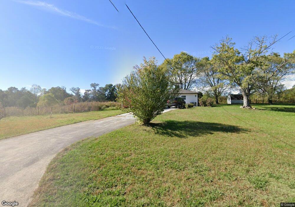
1153 Browntown Rd Sparta, TN 38583
Estimated Value: $250,000 - $334,260
--
Bed
1
Bath
672
Sq Ft
$435/Sq Ft
Est. Value
About This Home
This home is located at 1153 Browntown Rd, Sparta, TN 38583 and is currently estimated at $292,065, approximately $434 per square foot. 1153 Browntown Rd is a home located in White County with nearby schools including Northfield Elementary School, White County Middle School, and White County High School.
Ownership History
Date
Name
Owned For
Owner Type
Purchase Details
Closed on
Oct 21, 2002
Sold by
Johnny Allen and Johnny Patricia
Bought by
Charlie Allen and Charlie Dianne S
Current Estimated Value
Purchase Details
Closed on
Jul 2, 2002
Sold by
Johnnie Allen and Johnnie Patricia
Bought by
Mark Frasier
Purchase Details
Closed on
Jun 20, 2002
Sold by
Johnnie Allen and Johnnie Patricia
Bought by
Crosland William T and Crosland Tracy
Purchase Details
Closed on
Apr 20, 1993
Bought by
Christian John E
Purchase Details
Closed on
Aug 13, 1976
Bought by
Christian James T
Create a Home Valuation Report for This Property
The Home Valuation Report is an in-depth analysis detailing your home's value as well as a comparison with similar homes in the area
Home Values in the Area
Average Home Value in this Area
Purchase History
| Date | Buyer | Sale Price | Title Company |
|---|---|---|---|
| Charlie Allen | -- | -- | |
| Mark Frasier | $4,400 | -- | |
| Roy Whited | $4,750 | -- | |
| Richardson C D | $3,700 | -- | |
| Christie Speck | $3,400 | -- | |
| James Martin | $5,700 | -- | |
| William Crosland | $9,600 | -- | |
| Stephen Holland | $4,400 | -- | |
| Crosland William T | $78,200 | -- | |
| Christian John E | -- | -- | |
| Christian James T | -- | -- |
Source: Public Records
Tax History Compared to Growth
Tax History
| Year | Tax Paid | Tax Assessment Tax Assessment Total Assessment is a certain percentage of the fair market value that is determined by local assessors to be the total taxable value of land and additions on the property. | Land | Improvement |
|---|---|---|---|---|
| 2025 | $460 | $34,975 | $0 | $0 |
| 2024 | $460 | $22,425 | $13,650 | $8,775 |
| 2023 | $460 | $22,425 | $13,650 | $8,775 |
| 2022 | $460 | $22,425 | $13,650 | $8,775 |
| 2021 | $460 | $22,425 | $13,650 | $8,775 |
| 2020 | $460 | $22,425 | $13,650 | $8,775 |
| 2019 | $433 | $21,125 | $11,975 | $9,150 |
| 2018 | $433 | $21,125 | $11,975 | $9,150 |
| 2017 | $433 | $21,125 | $11,975 | $9,150 |
| 2016 | $433 | $21,125 | $11,975 | $9,150 |
| 2015 | $391 | $21,125 | $11,975 | $9,150 |
| 2014 | -- | $21,125 | $11,975 | $9,150 |
| 2013 | -- | $19,675 | $11,200 | $8,475 |
Source: Public Records
Map
Nearby Homes
- 19.267ac Wildcat Rd
- 377 Margot Dr
- 3524 Griffintown Rd
- 5860 Canoe Way
- 346 Sam Golden Rd
- 19 Caleb Way
- 5881 Canoe Way
- 43 Eli Ln
- 0 Liberty Rd
- 242 Grace Dr
- 9510 Medlin Rd
- 9360 Medlin Rd
- 445 Boyd Creek Rd
- 29AC Boyd Creek Rd
- 1885 Griffintown Rd
- 519 John McCoin Rd
- 165 Almyra Rd
- 18 Caleb Way
- 14 Caleb Way
- 15 Caleb Way
- 1138 Browntown Rd
- 912 Browntown Rd
- 215 Eldridge Cemetery Rd
- 2606 Wildcat Rd
- 271 Eldridge Cemetery Rd
- 2560 Wildcat Rd
- 2615 Wildcat Rd
- 2615 Wildcat Rd
- 2516 Wildcat Rd
- 947 Browntown Rd
- 2557 Wildcat Rd
- 2496 Wildcat Rd
- 2547 Wildcat Rd
- 2675 Wildcat Rd
- 2713 Wildcat Rd
- 887 Browntown Rd
- 1429 Browntown Rd
- 872 Browntown Rd
- 2475 Wildcat Rd
- 1438 Browntown Rd