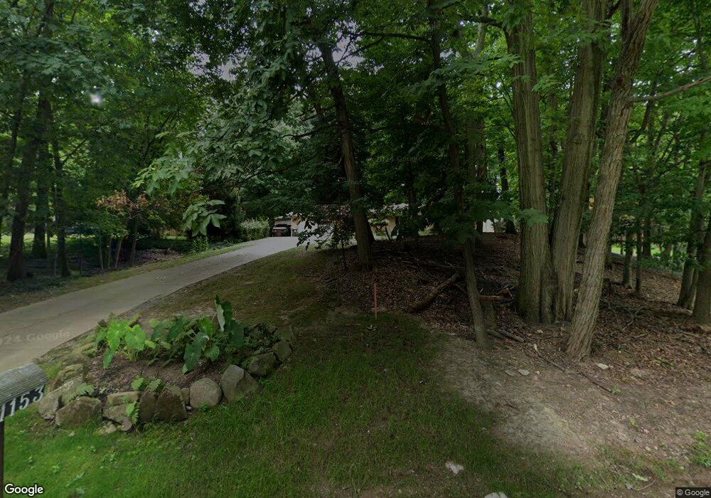
1153 Old Rockside Rd Cleveland, OH 44134
Estimated Value: $238,000 - $263,000
2
Beds
2
Baths
1,315
Sq Ft
$192/Sq Ft
Est. Value
About This Home
This home is located at 1153 Old Rockside Rd, Cleveland, OH 44134 and is currently estimated at $252,075, approximately $191 per square foot. 1153 Old Rockside Rd is a home located in Cuyahoga County with nearby schools including John Muir Elementary School, Hillside Middle School, and Normandy High School.
Ownership History
Date
Name
Owned For
Owner Type
Purchase Details
Closed on
Nov 1, 2002
Sold by
Sauer Donald Earl and Sauer Ruth Louise
Bought by
Sauer Mark D and Sauer Carolyn R
Current Estimated Value
Home Financials for this Owner
Home Financials are based on the most recent Mortgage that was taken out on this home.
Original Mortgage
$105,000
Interest Rate
6.18%
Purchase Details
Closed on
Apr 12, 1977
Sold by
Kronika Neal E
Bought by
Sauer Donald E
Purchase Details
Closed on
Apr 9, 1976
Sold by
Kronika Edward C
Bought by
Kronika Neal E
Purchase Details
Closed on
Jan 1, 1975
Bought by
Kronika Edward C
Create a Home Valuation Report for This Property
The Home Valuation Report is an in-depth analysis detailing your home's value as well as a comparison with similar homes in the area
Home Values in the Area
Average Home Value in this Area
Purchase History
| Date | Buyer | Sale Price | Title Company |
|---|---|---|---|
| Sauer Mark D | $150,000 | City Title Company | |
| Sauer Donald E | $61,500 | -- | |
| Kronika Neal E | -- | -- | |
| Kronika Edward C | -- | -- |
Source: Public Records
Mortgage History
| Date | Status | Borrower | Loan Amount |
|---|---|---|---|
| Closed | Sauer Mark D | $105,000 |
Source: Public Records
Tax History Compared to Growth
Tax History
| Year | Tax Paid | Tax Assessment Tax Assessment Total Assessment is a certain percentage of the fair market value that is determined by local assessors to be the total taxable value of land and additions on the property. | Land | Improvement |
|---|---|---|---|---|
| 2024 | $4,552 | $76,405 | $20,125 | $56,280 |
| 2023 | $4,624 | $65,350 | $16,870 | $48,480 |
| 2022 | $4,408 | $65,350 | $16,870 | $48,480 |
| 2021 | $4,542 | $65,350 | $16,870 | $48,480 |
| 2020 | $3,956 | $50,260 | $12,990 | $37,280 |
| 2019 | $3,801 | $143,600 | $37,100 | $106,500 |
| 2018 | $3,825 | $50,260 | $12,990 | $37,280 |
| 2017 | $3,580 | $43,890 | $9,380 | $34,510 |
| 2016 | $3,557 | $43,890 | $9,380 | $34,510 |
| 2015 | $3,466 | $43,890 | $9,380 | $34,510 |
| 2014 | $3,466 | $44,810 | $9,560 | $35,250 |
Source: Public Records
Map
Nearby Homes
- 101 Stonegate Cir
- 1000 Broadrock Ct
- 281 Crescent Ridge Dr
- 1414 Dartmoor Ave
- 1319 Dartmoor Ave
- 5651 Broadview Rd Unit A1
- 664 E Dawnwood Dr
- 5961 Broadview Rd
- 5550 Sandpiper Dr Unit 290
- 1872 Valewood Dr
- 100 E Decker Dr
- 5981 Northview Dr
- 1415 Wexford Ave
- 874 E Meadowlawn Blvd
- 5850 S Park Blvd
- 2302 Brookdale Ave
- 2010 Grantwood Dr
- 1417 Roanoke Dr
- 1716 Tuxedo Ave
- 5085 W 6th St
- 1003 Old Rockside Rd
- 961 Old Rockside Rd
- 1303 Old Rockside Rd
- 1122 Old Rockside Rd
- 1200 Old Rockside Rd
- 1100 Old Rockside Rd
- 901 Old Rockside Rd
- 1157 Rockside Rd Unit B
- 1020 Old Rockside Rd
- 904 Old Rockside Rd
- 1250 Old Rockside Rd
- 899 Old Rockside Rd
- 1139 Rockside Rd
- 1139 Rockside Rd Unit C
- 1213 Rockside Rd Unit A
- 1113 Rockside Rd
- 1425 Old Rockside Rd
- 1085 Rockside Rd
- 1257 Rockside Rd
- 1257 Rockside Rd Unit A