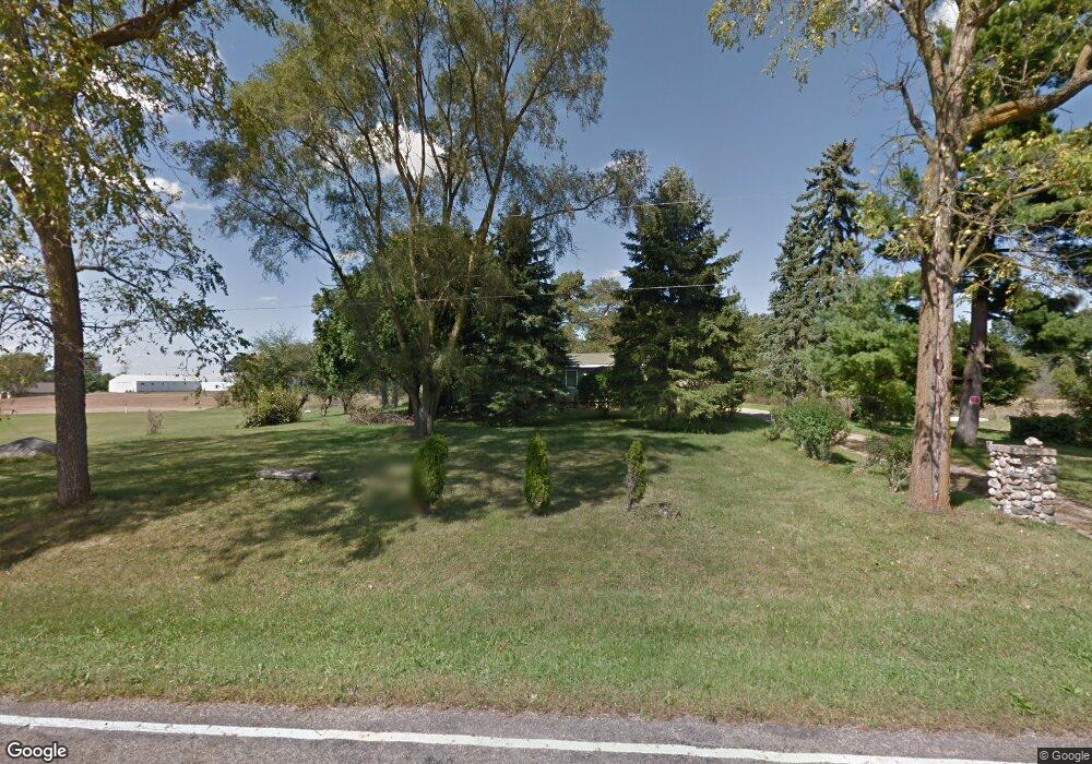
11530 Territorial Rd Munith, MI 49259
Estimated Value: $144,000 - $204,000
3
Beds
2
Baths
1,152
Sq Ft
$154/Sq Ft
Est. Value
About This Home
This home is located at 11530 Territorial Rd, Munith, MI 49259 and is currently estimated at $177,845, approximately $154 per square foot. 11530 Territorial Rd is a home located in Jackson County with nearby schools including Emma Smith Elementary School, Heritage School, and Stockbridge High School.
Ownership History
Date
Name
Owned For
Owner Type
Purchase Details
Closed on
Aug 10, 2015
Sold by
Claus Timothy
Bought by
Patrick Dakota and Lindibauer Tamra
Current Estimated Value
Home Financials for this Owner
Home Financials are based on the most recent Mortgage that was taken out on this home.
Original Mortgage
$65,600
Interest Rate
3.95%
Mortgage Type
Future Advance Clause Open End Mortgage
Purchase Details
Closed on
Dec 23, 2014
Sold by
Bone Michael and Bone Pamela
Bought by
Claus Timothy
Purchase Details
Closed on
May 15, 2009
Sold by
Bone Michael
Bought by
Bone Michael and Debiasi Anthony M
Purchase Details
Closed on
Oct 12, 2007
Sold by
Fannie Mae
Bought by
Bone Michael Lynn
Purchase Details
Closed on
Jan 10, 2007
Sold by
Chemical Bank
Bought by
Federal National Mortgage Association
Purchase Details
Closed on
Nov 17, 2004
Sold by
Chase Manhattan Mortgage Corp
Bought by
Federal National Mortgage Association
Create a Home Valuation Report for This Property
The Home Valuation Report is an in-depth analysis detailing your home's value as well as a comparison with similar homes in the area
Purchase History
| Date | Buyer | Sale Price | Title Company |
|---|---|---|---|
| Patrick Dakota | $78,500 | Transnation Title Clarkston | |
| Claus Timothy | $35,000 | Transnation Title | |
| Bone Michael | -- | None Available | |
| Bone Michael Lynn | $39,000 | Fat | |
| Federal National Mortgage Association | -- | None Available | |
| Federal National Mortgage Association | -- | -- |
Source: Public Records
Mortgage History
| Date | Status | Borrower | Loan Amount |
|---|---|---|---|
| Previous Owner | Patrick Dakota | $65,600 |
Source: Public Records
Tax History
| Year | Tax Paid | Tax Assessment Tax Assessment Total Assessment is a certain percentage of the fair market value that is determined by local assessors to be the total taxable value of land and additions on the property. | Land | Improvement |
|---|---|---|---|---|
| 2025 | $1,938 | $109,700 | $0 | $0 |
| 2024 | $7 | $101,400 | $0 | $0 |
| 2023 | $523 | $78,800 | $0 | $0 |
| 2022 | $1,279 | $59,550 | $0 | $0 |
| 2021 | $1,218 | $53,050 | $0 | $0 |
| 2020 | $1,203 | $48,700 | $0 | $0 |
| 2019 | $1,158 | $45,650 | $0 | $0 |
| 2018 | $1,131 | $40,600 | $0 | $0 |
| 2017 | $1,061 | $39,400 | $0 | $0 |
| 2016 | $429 | $38,200 | $0 | $38,200 |
| 2015 | $848 | $38,850 | $38,850 | $0 |
| 2014 | $848 | $34,350 | $0 | $0 |
| 2013 | -- | $34,350 | $34,350 | $0 |
Source: Public Records
Map
Nearby Homes
- 4845 Moechel Rd
- 0000 Roberts Dr
- 216 S Center St
- 0 M-52 Unit 291080
- 630 W Main St W
- 3515 Morton Rd
- 119 Maple St
- 0 Harr Rd Unit 25026824
- 4740 E Main St
- 4760 E Main St
- 4053 Eastbridge Rd
- 4057 Eastbridge Rd
- 4059 Eastbridge Rd
- 0 Cassidy Rd Unit 25033809
- 2598 Heeney Rd
- 2600 Heeney Rd
- 0000 Chapman Rd
- 10137 Boyce Rd
- 7762 Coon Hill Rd
- 9800 Beeman Rd
- 13000 Wilmore Rd
- 13000 Wilmore Rd
- 12934 S M 106
- 11516 Territorial Rd
- 12950 M-106
- 12950 M106
- 12950 Wilmore Rd
- 12934 Michigan 106
- 13060 Mayer Rd
- 13087 Mayer Rd
- 13101 Mayer Rd
- 0 Mayer Rd
- Vacant Mayer Rd
- 11600 Territorial Rd
- 11603 Territorial Rd
- 11616 Territorial Rd
- 11581 Territorial Rd
- Parcel B Territorial
- 11589 Territorial Rd
- 13252 Wilmore Rd
Your Personal Tour Guide
Ask me questions while you tour the home.