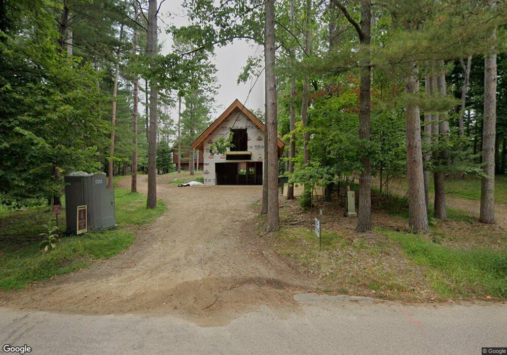
11534 Manhattan Point Blvd Crosslake, MN 56442
Estimated Value: $812,790 - $903,000
4
Beds
3
Baths
768
Sq Ft
$1,100/Sq Ft
Est. Value
About This Home
This home is located at 11534 Manhattan Point Blvd, Crosslake, MN 56442 and is currently estimated at $844,448, approximately $1,099 per square foot. 11534 Manhattan Point Blvd is a home located in Crow Wing County with nearby schools including Pine River-Backus Elementary School, Pine River-Backus High School, and Pine River-Backus Area Learning Center.
Ownership History
Date
Name
Owned For
Owner Type
Purchase Details
Closed on
Aug 17, 2018
Sold by
Booke Renae J
Bought by
Yager Todd J and Yager Patricia J
Current Estimated Value
Purchase Details
Closed on
Aug 1, 2011
Bought by
Booke Renae
Purchase Details
Closed on
Aug 1, 2010
Bought by
Lake Community Bank
Purchase Details
Closed on
Aug 1, 1993
Sold by
Behrends Freder
Bought by
Scheer Wallace
Create a Home Valuation Report for This Property
The Home Valuation Report is an in-depth analysis detailing your home's value as well as a comparison with similar homes in the area
Home Values in the Area
Average Home Value in this Area
Purchase History
| Date | Buyer | Sale Price | Title Company |
|---|---|---|---|
| Yager Todd J | $395,000 | -- | |
| Booke Renae | $403,000 | -- | |
| Lake Community Bank | $208,500 | -- | |
| Scheer Wallace | $112,500 | -- |
Source: Public Records
Tax History Compared to Growth
Tax History
| Year | Tax Paid | Tax Assessment Tax Assessment Total Assessment is a certain percentage of the fair market value that is determined by local assessors to be the total taxable value of land and additions on the property. | Land | Improvement |
|---|---|---|---|---|
| 2025 | $3,860 | $834,100 | $633,700 | $200,400 |
| 2024 | $3,822 | $657,100 | $491,800 | $165,300 |
| 2023 | $3,388 | $668,900 | $483,700 | $185,200 |
| 2022 | $3,430 | $543,300 | $369,400 | $173,900 |
| 2021 | $3,326 | $423,600 | $316,800 | $106,800 |
| 2020 | $3,280 | $386,900 | $284,400 | $102,500 |
| 2019 | $3,096 | $376,500 | $272,800 | $103,700 |
| 2018 | $3,098 | $353,400 | $256,100 | $97,300 |
| 2017 | $3,190 | $357,700 | $261,700 | $96,000 |
| 2016 | $3,210 | $369,200 | $275,500 | $93,700 |
| 2015 | $3,246 | $382,100 | $281,700 | $100,400 |
| 2014 | $1,678 | $389,500 | $292,200 | $97,300 |
Source: Public Records
Map
Nearby Homes
- 12125 Whitefish Ave
- 38738 Windsor Ave
- 12463 White Island Dr
- 10596 Wabigoniss Shores
- 11959 Northgate Ln
- 39687 Swanberg Rd
- 37310 Silver Peak Rd
- 37639 Forest Lodge Rd
- 37713 Forest Lodge Rd
- 38720 South Landing
- 11460 Lynn Boyd Way Unit Fraction 3
- 11527 Milinda Shores Rd
- 36587 Harbor Trail
- 11690 Harbor Ln
- 13380 Rush Harbor Dr
- 40694 Wall St
- 12048 Harbor Ln
- XXX County Road 134
- 40071 County Road 134
- 38277 Moccasin Dr
- 11526 Manhattan Point Blvd
- 11512 Manhattan Point Blvd
- 11554 Manhattan Point Blvd
- 11570 Manhattan Point Blvd
- 11492 Manhattan Point Blvd
- 11486 Manhattan Point Blvd
- 11486 Manhattan Point Blvd
- 11486 Manhattan Point Blvd
- 11580 Manhattan Point Blvd
- 11604 Manhattan Point Blvd
- 11468 Manhattan Point Blvd
- 11589 Manhattan Point Blvd
- 11622 Manhattan Point Blvd
- 11452 Manhattan Point Blvd
- 2189 White Pine Point Rd SW
- 11636 Manhattan Point Blvd
- 11644 Manhattan Point Blvd
- 11568 Whitefish Ave
- 38624 Manhattan Dr
- 11537 Whitefish Ave