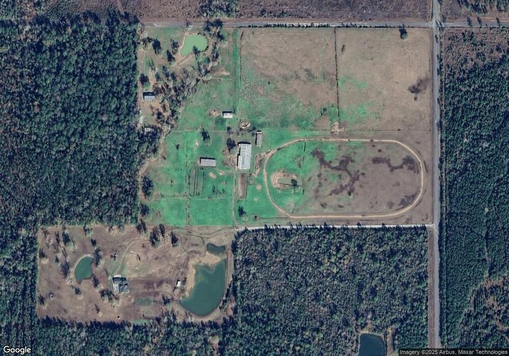
11538 Highway 109 Starks, LA 70661
Estimated Value: $617,684 - $809,000
4
Beds
3
Baths
5,300
Sq Ft
$135/Sq Ft
Est. Value
About This Home
This home is located at 11538 Highway 109, Starks, LA 70661 and is currently estimated at $713,342, approximately $134 per square foot. 11538 Highway 109 is a home located in Beauregard Parish with nearby schools including Singer High School.
Ownership History
Date
Name
Owned For
Owner Type
Purchase Details
Closed on
Jul 10, 2020
Sold by
Mcintosh William Alan and Mcintosh Judith Lynn
Bought by
Smith Karl H and Smith Marie
Current Estimated Value
Home Financials for this Owner
Home Financials are based on the most recent Mortgage that was taken out on this home.
Original Mortgage
$496,000
Outstanding Balance
$439,820
Interest Rate
3.1%
Mortgage Type
New Conventional
Estimated Equity
$273,522
Create a Home Valuation Report for This Property
The Home Valuation Report is an in-depth analysis detailing your home's value as well as a comparison with similar homes in the area
Home Values in the Area
Average Home Value in this Area
Purchase History
| Date | Buyer | Sale Price | Title Company |
|---|---|---|---|
| Smith Karl H | $620,000 | None Available |
Source: Public Records
Mortgage History
| Date | Status | Borrower | Loan Amount |
|---|---|---|---|
| Open | Smith Karl H | $496,000 |
Source: Public Records
Tax History Compared to Growth
Tax History
| Year | Tax Paid | Tax Assessment Tax Assessment Total Assessment is a certain percentage of the fair market value that is determined by local assessors to be the total taxable value of land and additions on the property. | Land | Improvement |
|---|---|---|---|---|
| 2024 | $6,337 | $45,955 | $955 | $45,000 |
| 2023 | $5,409 | $47,007 | $2,007 | $45,000 |
| 2022 | $5,408 | $47,007 | $2,007 | $45,000 |
| 2021 | $5,408 | $47,007 | $2,007 | $45,000 |
| 2020 | $2,444 | $21,235 | $1,107 | $20,128 |
| 2019 | $3,984 | $34,648 | $1,101 | $33,547 |
| 2018 | $3,984 | $34,648 | $1,101 | $33,547 |
| 2017 | $3,984 | $34,648 | $1,101 | $33,547 |
| 2016 | $4,018 | $34,648 | $1,101 | $33,547 |
| 2015 | $1,193 | $34,633 | $1,086 | $33,547 |
| 2014 | $2,981 | $34,634 | $1,087 | $33,547 |
Source: Public Records
Map
Nearby Homes
- 0 Abshire Rd
- 1594 Robert Clark Rd
- 0 Old River Rd Unit SWL25003019
- 0 Old River Rd Unit SWL25003018
- 4794 Mazilly Rd
- TBD Old River Rd
- TBD Louisiana 12
- 0 Edward St
- 0 Louisiana 109
- T-1 Big Woods Rd
- T-2 Big Woods Rd
- T-3 Big Woods Rd
- 4721 Roy Lee Ashworth Rd
- 207 Scales Rd
- TBD Lee Moore Rd
- TBD Sh-87
- 623 Louisiana 109
- 623 Louisiana 109 Unit S
- 642 Louisiana 109
- R11553 Texas 12
- 11538 Highway 109
- 268 Gibson Rd
- 11538 Louisiana 109
- 11536 Louisiana 109
- 304 Smith Cemetery Rd
- 322 Louisiana 109
- 0 Highway 109 Hwy Unit 57316
- 0 Highway 109 Hwy Unit SWL22007854
- 0 Highway 109 Hwy Unit SWL22007854
- 0 Highway 109 Hwy Unit SWL22005944
- 1804 Old River Rd
- 187 Abshire Rd
- 181 Bob Orear Rd
- 2532 Old River Rd
- 106 Gambrell Church Rd
- 0 Tbd Old River Rd Unit SWL23000134
- 0 Tbd Old River Rd Unit SWL22005635
- 0 Tbd Old River Rd Unit SWL22001714
- 172 Prentice Hyatt Rd
- 4920 Ward Line Rd