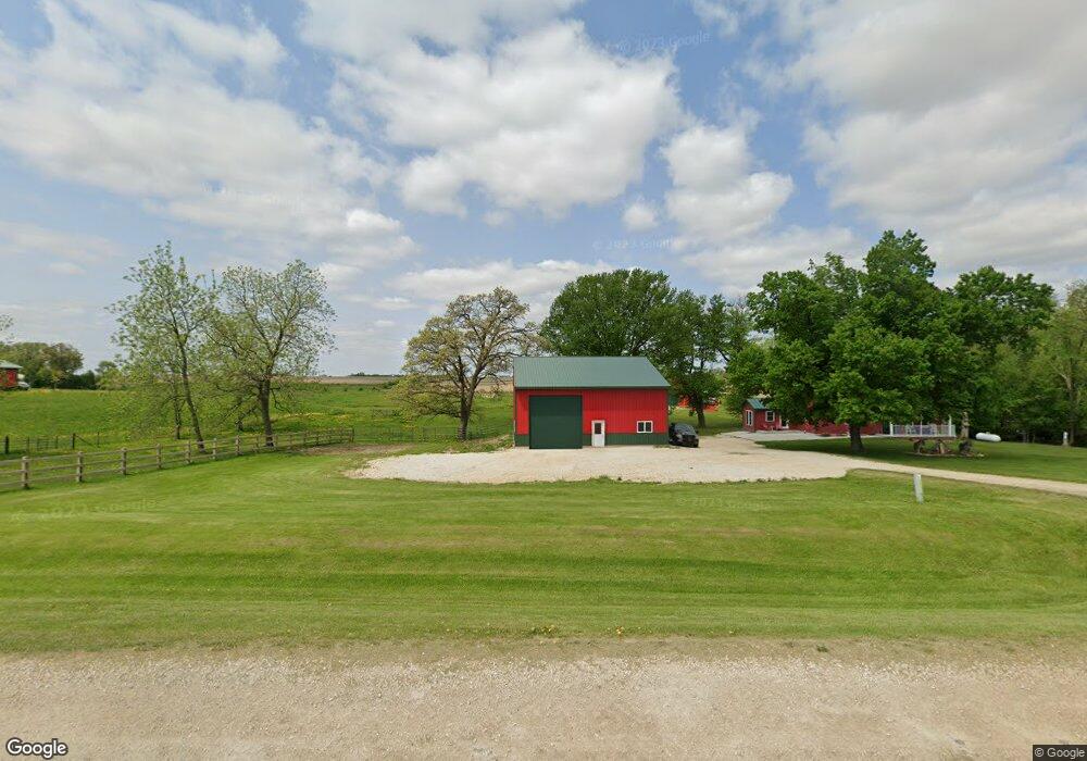
1154 Highway 51 Waukon, IA 52172
Estimated Value: $81,832 - $182,000
--
Bed
--
Bath
150
Sq Ft
$843/Sq Ft
Est. Value
About This Home
This home is located at 1154 Highway 51, Waukon, IA 52172 and is currently estimated at $126,458, approximately $843 per square foot. 1154 Highway 51 is a home with nearby schools including West Campus Elementary School, East Campus Elementary School, and Waukon Middle School.
Ownership History
Date
Name
Owned For
Owner Type
Purchase Details
Closed on
Dec 30, 2004
Sold by
Brink Debbie A
Bought by
Brink Darrold L
Current Estimated Value
Create a Home Valuation Report for This Property
The Home Valuation Report is an in-depth analysis detailing your home's value as well as a comparison with similar homes in the area
Home Values in the Area
Average Home Value in this Area
Purchase History
| Date | Buyer | Sale Price | Title Company |
|---|---|---|---|
| Brink Darrold L | -- | None Available |
Source: Public Records
Tax History Compared to Growth
Tax History
| Year | Tax Paid | Tax Assessment Tax Assessment Total Assessment is a certain percentage of the fair market value that is determined by local assessors to be the total taxable value of land and additions on the property. | Land | Improvement |
|---|---|---|---|---|
| 2025 | $576 | $50,800 | $36,000 | $14,800 |
| 2024 | $576 | $50,500 | $36,000 | $14,500 |
| 2023 | $558 | $50,500 | $36,000 | $14,500 |
| 2022 | $512 | $43,800 | $36,000 | $7,800 |
| 2021 | $460 | $43,100 | $36,000 | $7,100 |
| 2020 | $460 | $36,600 | $30,000 | $6,600 |
| 2019 | $460 | $36,100 | $0 | $0 |
| 2018 | $450 | $36,100 | $0 | $0 |
| 2017 | $450 | $35,400 | $0 | $0 |
| 2016 | $442 | $35,400 | $0 | $0 |
| 2015 | $442 | $35,400 | $0 | $0 |
| 2014 | $446 | $35,400 | $0 | $0 |
Source: Public Records
Map
Nearby Homes
- Tbd
- Tbd
- 605 1st Ave SW
- 430 9th St NW
- 303 5th St SW
- 607 W Main St
- 0 SW 11th Ave Unit 20222752
- Allamakee Co. Ia Parcel Id#
- 208 4th St SW
- 104 6th Ave SW
- 306 Sw St
- 0 Parcel Id#1031351007 Unit 20211899
- 0 Parcel Id#1506100051 Unit 20211897
- 0 Parcel Id#1031376012 Unit 20211905
- 0 Parcel Id#1031376013 Unit 20211902
- 0 Parcel Id#1031351004 Unit 20211906
- 0 Parcel Id#1031376005 Unit 20211907
- 0 Parcel Id#1031351006 Unit 20211900
- 22 3rd Ave SE
- 602 2nd St NW
- 1158 Highway 51
- 277 Highway 9
- 313 Highway 9
- 276 Picnic Woods Dr
- 290 Picnic Woods Dr
- 230 Picnic Woods Dr
- 252 Picnic Woods Dr
- 316 Picnic Woods Dr
- 259 Picnic Woods Dr
- 330 Picnic Woods Dr
- 291 Picnic Woods Dr
- 220 Highway 9
- 359 Highway 9
- 344 Picnic Woods Dr
- 343 Picnic Woods Dr
- 346 Picnic Woods Dr
- 371 Highway 9
- 350 Picnic Woods Dr
- 1130 Pole Line Rd
- 354 Picnic Woods Dr