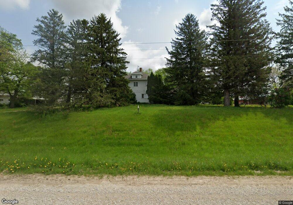
1155 Highway 76 SE Waukon, IA 52172
Estimated Value: $229,000 - $337,000
4
Beds
1
Bath
2,645
Sq Ft
$104/Sq Ft
Est. Value
About This Home
This home is located at 1155 Highway 76 SE, Waukon, IA 52172 and is currently estimated at $275,461, approximately $104 per square foot. 1155 Highway 76 SE is a home located in Allamakee County with nearby schools including West Campus Elementary School, East Campus Elementary School, and Waukon Middle School.
Ownership History
Date
Name
Owned For
Owner Type
Purchase Details
Closed on
Jul 2, 2025
Sold by
Decorah Bank & Trust Co
Bought by
Miller John F
Current Estimated Value
Create a Home Valuation Report for This Property
The Home Valuation Report is an in-depth analysis detailing your home's value as well as a comparison with similar homes in the area
Home Values in the Area
Average Home Value in this Area
Purchase History
| Date | Buyer | Sale Price | Title Company |
|---|---|---|---|
| Miller John F | -- | None Listed On Document |
Source: Public Records
Tax History Compared to Growth
Tax History
| Year | Tax Paid | Tax Assessment Tax Assessment Total Assessment is a certain percentage of the fair market value that is determined by local assessors to be the total taxable value of land and additions on the property. | Land | Improvement |
|---|---|---|---|---|
| 2025 | $2,326 | $226,800 | $1,000 | $225,800 |
| 2024 | $8,730 | $588,500 | $339,000 | $249,500 |
| 2023 | $8,730 | $591,000 | $339,000 | $252,000 |
| 2022 | $8,056 | $474,600 | $283,000 | $191,600 |
| 2021 | $8,286 | $505,000 | $313,400 | $191,600 |
| 2020 | $8,286 | $497,000 | $313,000 | $184,000 |
| 2019 | $8,108 | $649,600 | $0 | $0 |
| 2018 | $7,786 | $649,600 | $0 | $0 |
| 2017 | $7,786 | $691,900 | $0 | $0 |
| 2016 | $7,094 | $691,900 | $0 | $0 |
| 2015 | $7,094 | $600,100 | $0 | $0 |
| 2014 | $5,872 | $600,100 | $0 | $0 |
Source: Public Records
Map
Nearby Homes
- 525 4th St SE
- 104 6th Ave SW
- 0 SW 11th Ave Unit 20222752
- Allamakee Co. Ia Parcel Id#
- 22 3rd Ave SE
- 306 Sw St
- 208 4th St SW
- 303 5th St SW
- 310 1st Ave NE
- 0 Parcel Id#1031351007 Unit 20211899
- 0 Parcel Id#1506100051 Unit 20211897
- 0 Parcel Id#1031376012 Unit 20211905
- 0 Parcel Id#1031376013 Unit 20211902
- 0 Parcel Id#1031351004 Unit 20211906
- 0 Parcel Id#1031376005 Unit 20211907
- 0 Parcel Id#1031351006 Unit 20211900
- 605 1st Ave SW
- 607 W Main St
- 602 2nd St NW
- 866 Cooks Rd
- 1163 Highway 76 SE
- 1142 Highway 76 SE
- 2620 Highway 76 SE
- 2528 Highway 76 SE
- 2450 Highway 76 SE
- 1118 Forest Mills Rd
- 1118 Forest Mills Rd
- 1121 Forest Mills Rd
- 1110 Forest Mills Rd
- 2518 Breezy Corners Rd
- 2518 Breezy Corners Rd
- 903 Dundee Dr
- 0 Hwy 9 and Hwy 76 Unit 20202366
- 2403 Four Corners Rd
- 1164 Breezy Corners Rd
- 2239 Rossville Rd
- 979 Private Ln
- 1843 Old Threshing Rd
- 2504 Four Corners Rd
- 1072 Forest Mills Rd