Estimated Value: $737,000 - $804,214
3
Beds
2
Baths
2,363
Sq Ft
$326/Sq Ft
Est. Value
About This Home
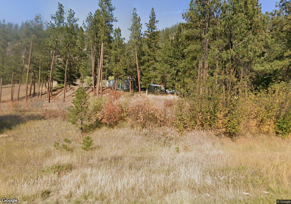
This home is located at 11550 Highway 12 W, Lolo, MT 59847 and is currently estimated at $770,804, approximately $326 per square foot. 11550 Highway 12 W is a home located in Missoula County with nearby schools including Woodman Elementary School, Woodman 7-8, and Sentinel High School.
Ownership History
Date
Name
Owned For
Owner Type
Purchase Details
Closed on
Sep 8, 2017
Sold by
Muir Paul E and Muir Joan D
Bought by
Nickelson John Lee and Nickelson Debra Kay
Current Estimated Value
Home Financials for this Owner
Home Financials are based on the most recent Mortgage that was taken out on this home.
Original Mortgage
$299,475
Outstanding Balance
$250,217
Interest Rate
3.92%
Mortgage Type
FHA
Estimated Equity
$520,587
Purchase Details
Closed on
Aug 15, 2001
Sold by
Stenseth Calvin R
Bought by
Muir Paul E and Muir Joan D
Home Financials for this Owner
Home Financials are based on the most recent Mortgage that was taken out on this home.
Original Mortgage
$166,500
Interest Rate
10.75%
Create a Home Valuation Report for This Property
The Home Valuation Report is an in-depth analysis detailing your home's value as well as a comparison with similar homes in the area
Home Values in the Area
Average Home Value in this Area
Purchase History
| Date | Buyer | Sale Price | Title Company |
|---|---|---|---|
| Nickelson John Lee | -- | First American Title Co | |
| Muir Paul E | -- | -- |
Source: Public Records
Mortgage History
| Date | Status | Borrower | Loan Amount |
|---|---|---|---|
| Open | Nickelson John Lee | $299,475 | |
| Previous Owner | Muir Paul E | $166,500 |
Source: Public Records
Tax History Compared to Growth
Tax History
| Year | Tax Paid | Tax Assessment Tax Assessment Total Assessment is a certain percentage of the fair market value that is determined by local assessors to be the total taxable value of land and additions on the property. | Land | Improvement |
|---|---|---|---|---|
| 2025 | $5,528 | $684,195 | $426,275 | $257,920 |
| 2024 | $5,963 | $608,600 | $239,465 | $369,135 |
| 2023 | $5,243 | $581,000 | $239,465 | $341,535 |
| 2022 | $3,834 | $362,515 | $0 | $0 |
| 2021 | $3,663 | $362,515 | $0 | $0 |
| 2020 | $3,286 | $314,800 | $0 | $0 |
| 2019 | $3,306 | $314,800 | $0 | $0 |
| 2018 | $3,137 | $303,885 | $0 | $0 |
| 2017 | $3,079 | $303,885 | $0 | $0 |
| 2016 | $2,996 | $310,800 | $0 | $0 |
| 2015 | $2,970 | $310,800 | $0 | $0 |
| 2014 | $2,573 | $149,529 | $0 | $0 |
Source: Public Records
Map
Nearby Homes
- 11625 U S 12
- 10636 Nez Perce Loop
- Nhn Nez Perce Loop
- 12196 Cowcatcher Dr
- 10131 Barns Ct
- 9883 Hatton Ln
- 8350 Vann Dr
- Lolo
- 15100 Rock Ridge Rd
- 12326 Nature Ct
- 12458 Nature Ct
- 12819 Anchor Rd
- 16485 Folsom Rd
- 6760 Ruby Ct
- 12836 Cameron's Way
- 16374 Folsom Rd
- 246 Saint Johns St
- 6896 Jack Pine Ct
- TBD Kester Ln
- 10291 Coulter Pine St
- 11550 Highway 12 W
- 11420 U S 12
- 11650 Highway 12 W
- 11625 Highway 12 W
- 11750 Highway 12 W
- 11750 U S 12
- Lot 3B Mormon Creek Rd
- Lot 3B Morman Creek Rd
- 11115 Highway 12 W
- 11000 Highway 12 W
- 10900 Allen Ln
- 10780 Allen Ln
- 10850 Allen Ln
- 10800 Allen Ln
- 10750 Allen Ln
- 10750 Highway 12 W
- 10705 Highway 12 W
- 10596 Nez Perce Loop
- 10700 Allen Ln
- 10592 Nez Perce Loop