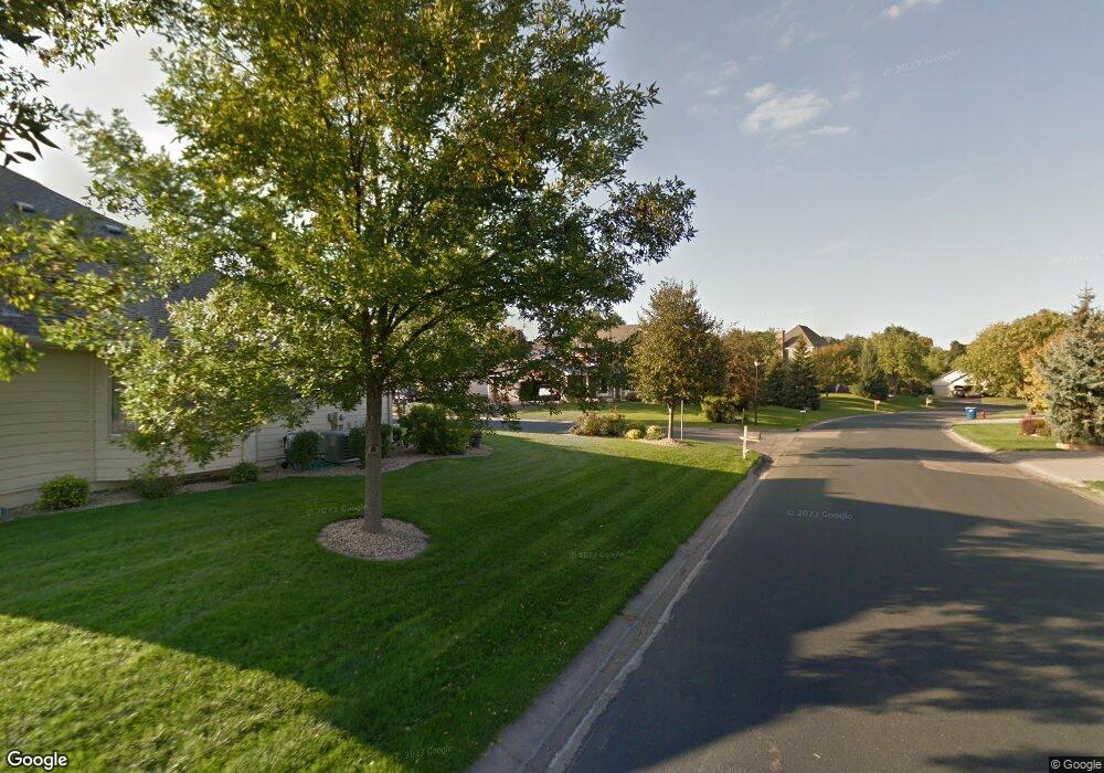
11553 Boulder Ct Maple Grove, MN 55311
Estimated Value: $314,000 - $321,000
3
Beds
1
Bath
1,777
Sq Ft
$179/Sq Ft
Est. Value
About This Home
This home is located at 11553 Boulder Ct, Maple Grove, MN 55311 and is currently estimated at $317,636, approximately $178 per square foot. 11553 Boulder Ct is a home with nearby schools including Hassan Elementary School, Rogers Middle School, and Rogers Senior High School.
Ownership History
Date
Name
Owned For
Owner Type
Purchase Details
Closed on
May 5, 2021
Sold by
Minton Micheal L and Minton Lucy Hart
Bought by
Minton Micheal L and Minton Lucy Hart
Current Estimated Value
Home Financials for this Owner
Home Financials are based on the most recent Mortgage that was taken out on this home.
Original Mortgage
$224,000
Outstanding Balance
$202,362
Interest Rate
2.9%
Mortgage Type
New Conventional
Estimated Equity
$115,274
Purchase Details
Closed on
Oct 14, 2019
Sold by
U S Home Corporation
Bought by
Hammond James M and Minton Michael L
Home Financials for this Owner
Home Financials are based on the most recent Mortgage that was taken out on this home.
Original Mortgage
$225,900
Interest Rate
3.4%
Mortgage Type
Closed End Mortgage
Purchase Details
Closed on
May 18, 2018
Sold by
U S Home Corporation A
Bought by
Laurel Creek Master Homeowners Associati
Create a Home Valuation Report for This Property
The Home Valuation Report is an in-depth analysis detailing your home's value as well as a comparison with similar homes in the area
Home Values in the Area
Average Home Value in this Area
Purchase History
| Date | Buyer | Sale Price | Title Company |
|---|---|---|---|
| Minton Micheal L | -- | Watermark Title Agency | |
| Hammond James M | $251,000 | None Available | |
| Laurel Creek Master Homeowners Associati | -- | None Available |
Source: Public Records
Mortgage History
| Date | Status | Borrower | Loan Amount |
|---|---|---|---|
| Open | Minton Micheal L | $224,000 | |
| Closed | Hammond James M | $225,900 |
Source: Public Records
Tax History
| Year | Tax Paid | Tax Assessment Tax Assessment Total Assessment is a certain percentage of the fair market value that is determined by local assessors to be the total taxable value of land and additions on the property. | Land | Improvement |
|---|---|---|---|---|
| 2024 | $4,090 | $322,300 | $20,000 | $302,300 |
| 2023 | $4,164 | $335,800 | $33,000 | $302,800 |
| 2022 | $3,479 | $300,000 | $10,000 | $290,000 |
| 2021 | $3,592 | $260,000 | $10,000 | $250,000 |
| 2020 | $296 | $266,000 | $10,000 | $256,000 |
| 2019 | $97 | $20,000 | $10,000 | $10,000 |
| 2018 | -- | $5,800 | $5,800 | $0 |
Source: Public Records
Map
Nearby Homes
- 19549 Meadow Trail
- 19351 Meadow View Ln
- 19280 Blue Stem Ct
- XXX Brockton Ln N
- 19720 Jackie Ln
- 21310 Poate Ct
- 22911 Hazel Ln
- 19638 105th Ave
- 21412 Poate Ct
- 19590 105th Ave
- 19614 105th Ave
- 19506 105th Ave
- 19503 105th Ave
- 10419 Northwood Ln
- 19626 104th Place
- 19525 104th Place
- 12565 Marion Ct
- 18278 104th Ave N
- 10399 Shadyview Ln N
- 10244 Ironwood Ln
- 11555 Boulder Ct
- 11548 Woodside Dr
- 11546 Woodside Dr
- 11561 Boulder Ct
- 11565 Boulder Ct
- 11549 Boulder Ct
- 11551 Woodside Dr
- 11555 Woodside Dr
- 11556 Woodside
- 11583 Boulder Ct
- 11557 Woodside Dr
- 11575 Boulder Ct
- 11563 Woodside Dr
- 11544 Laurel Springs Path
- 11576 Woodside Dr
- 11580 Woodside Dr
- 11548 Laurel Springs Path
- 11552 Laurel Springs Path
- 11558 Laurel Springs Path
- 11571 Woodside Dr
Your Personal Tour Guide
Ask me questions while you tour the home.